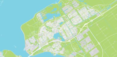
Urban vector city map of Almere, The Netherlands
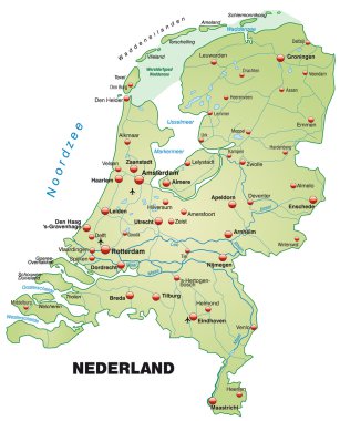
Map of Netherlands as an overview map in pastel green
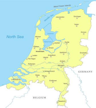
Political map of Netherlands with national borders, cities and rivers
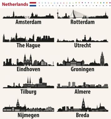
Netherlands largest cities skylines silhouettes
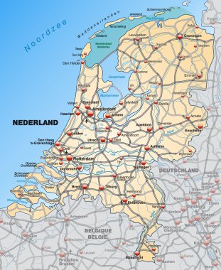
Map of Netherlands with highways in pastel orange
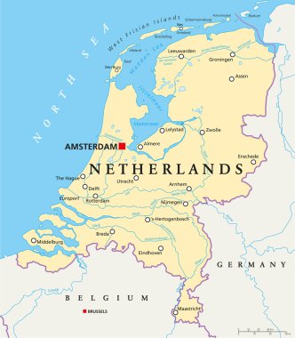
Netherlands Political Map with capital Amsterdam, national borders, most important cities, rivers and lakes. English labeling and scaling. Illustration.
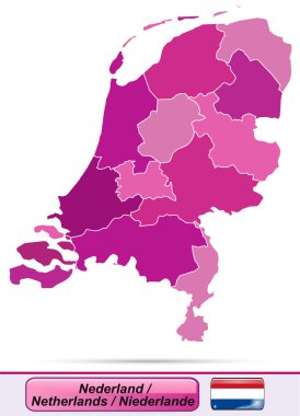
Map of Netherlands with borders in violet
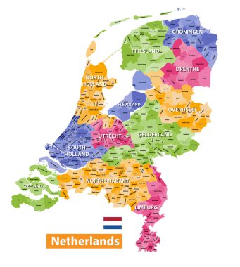
Netherlands high detailed local municipalities map colored by provinces. All elements are separated in detachable and labeled layers. Vector
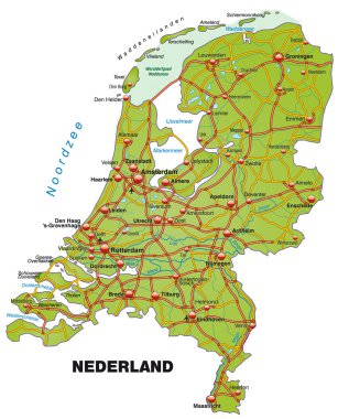
Map of Netherlands with highways
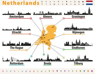
Netherlands map with largest cities skylines silhouettes
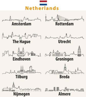
Vector outline icons of cities Netherlands skylines
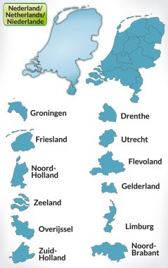
Map of Netherlands with borders in blue
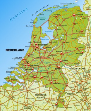
Map of Netherlands with highways
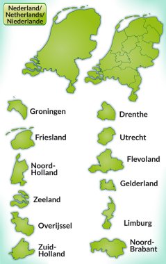
Map of Netherlands with borders in green
Flag of Almere is a planned city and municipality in the province of Flevoland, Netherlands, bordering Lelystad and Zeewolde. Vector illustration
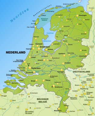
Map of Netherlands as an overview map in green
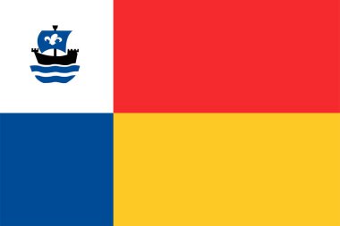
Flag of Almere city and Municipality (Flevoland province, Kingdom of the Netherlands, Holland)
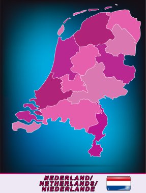
Map of Netherlands with borders in violet
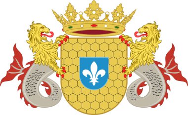
Coat of arms of Lelystad is a municipality and a city in the centre of the Netherlands, and it is the capital of the province of Flevoland. Vector illustration
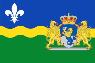
Flag of Flevoland is a province of the Netherlands. Vector illustration

Flag of Flevoland is a province of the Netherlands. Vector illustration
Coat of arms of Almere is a planned city and municipality in the province of Flevoland, Netherlands, bordering Lelystad and Zeewolde. Vector illustration
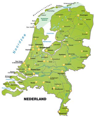
Map of Netherlands as an overview map in green
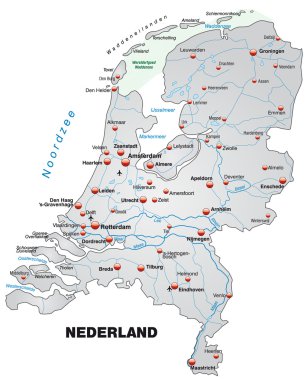
Map of Netherlands as an overview map in gray
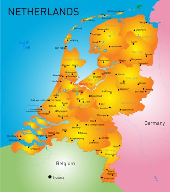
Vector color map of Netherlands country

Emblem of Almere. City of Netherlandsl. Vector illustration
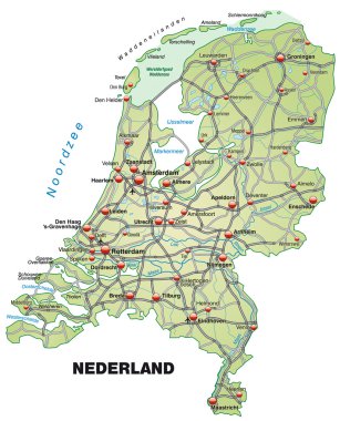
Map of Netherlands with highways in pastel green