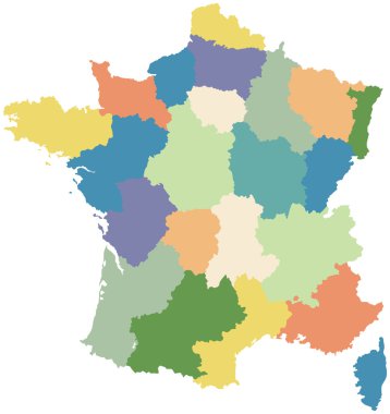
Map of France divided into regions

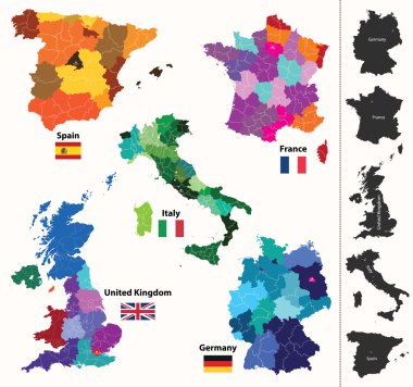
European country france and all regions in details

Alsace blank detailed outline map set - vector version

Interactive map of metropolitans French regions on white background.

Silhouettes of country France and new regions since 2016

Silhouettes of country France and new regions since 2016

Silhouettes of country France and the regions

France administrative regions and departments vector map with neighbouring countries and territories

France map vector

Map contains topographic contours, country and land names, cities, water objects, roads, railways.

France map colored by regions

France road, administrative and political vector map

World mapp vector

Map of France and flag - highly detailed vector illustration. Image contains land contours, country and land names, city names, flag, navigation icons.

European regions map

Road and administrative map of France

Map of France. hand drawn illustration. 22 regions.

European country france and all regions in details

This vector map of the French region Grand Est includes 6 editable layers for each of the 5 administrative levels (municipalities, subdistricts (cantons), districts (arrondissements), departments, and region) and the background

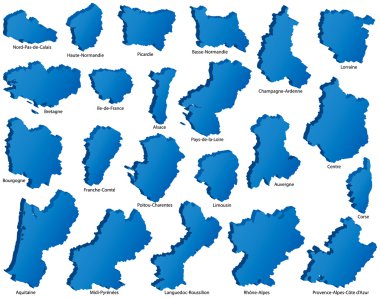
French Regions Icons

France with highlighted France map. Vector Illustration

Silhouettes of country France and new regions since 2016

Silhouettes of country France and the regions

Silhouettes of country France and new regions since 2016

Silhouettes of country France and the regions

Bas-Rhin, Alsace blank detailed outline map set