
Andorra golden line premium logo or icon

Isometric Map of Andorra. Simple 3D Map. Vector Illustration - EPS 10 Vector

Andorra yellow glowing neon icon

Detailed map of Andorra and capital city Andorra la Vella with flag on black background

Andorra blue gradient vector icon

Black Andorra map on light grey background. Black Andorra map - vector illustration.

Andorra gold plated metalic icon or logo vector

Andorra - detailed map of the country in brown colors, divided into regions. Vector illustration

Andorra four color glass button icon

Illustrative digital map of Andorra

Andorra minimal bright yellow material icon

Andorra postage stamp, postage stamp, vintage stamp, air mail envelope.

Andorra silver plated metallic icon

Andorra Flag National Europe Emblem Ribbon Icon Vector Illustration Abstract Design Element

Andorra blue and red four color minimal icon set
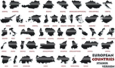
Set of European countries in a nice sticker version.

Andorra Green and yellow modern 3d vector icon logo

Zoom on Andorra Map and Flag. World Map

Andorra four color glowing neon vector icon

Black Andorra map on light grey background. Black Andorra map - vector illustration.

Andorra Flat four color minimal icon set

Map of andorra. map concept

Andorra Outline Map with Green Colour. Modern Simple Line Cartoon Design - EPS 10 Vector

Andorra outline map - detailed isolated vector country border contour maps of Andorra on white background

Andorra Map Pin with National Flag on Open World Map.

Andorra flag. Flag icon. Standard colors. Standard size. Rectangular flag.

Andorra Highlighted on Europe Map with Flag Icon.

Bangladesh map vector set on white background. Map in various style outline, black, and gray

Andorra on the globe. Earth hemisphere centered at the location of the Principality of Andorra. Andorra map.

Set of isolated andorra maps. andorra flag overlaid with flag proportions. Maps and traveling around the world
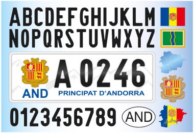
Andorra new car license plate, 2011, letters, numbers and symbols, vector illustration
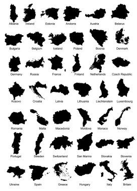
Layered vector illustration of 42 Europe Country Maps.

Andorra infographics, statistical data, sights. Vector illustration

Energy industry and ecology of Andorra vector map with power stations infographic.

Andorra dark silhouette map icon on gray background

Map of administrative divisions of Principality of Andorra

Vector map of Andorra with infographic elements: regions, cities, charts, icons. Blue color scheme, flat modern style. Ideal for reports, presentations, and educational use.
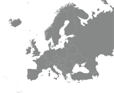
Black CMYK national map of ANDORRA inside detailed gray blank political map of European continent on transparent background using Mercator projection

Spain, autonomous communities, gray political map. First-level administrative divisions with limited autonomy to 17 autonomous communities and the two cities Ceuta and Melilla. Illustration. Vector

Hand holding and waving the national flag of Andorra on a map background

Portugal and Spain political map with capitals Lisbon and Madrid, Balearic Islands and national borders. Gray illustration of Iberian Peninsula with English labeling and scaling on white background.

Pin map with Andorra flag on world map. Vector illustration.

Locator map showing the location of the country Andorra in Europe. The country is highlighted with a red polygon. No labels at all. Made with Natural Earth.

Catalonia political map with capital Barcelona, borders and important cities. Autonomous community of Spain on the northeastern extremity of Iberian Peninsula. English labeling. Illustration. Vector.

Detailed map of Europe with cities

Vector Europe map

France, metropolitan regions, gray political map. French Republic with capital Paris and administrative regions on the mainland of Europe and their prefectures. English labeling. Illustration. Vector.
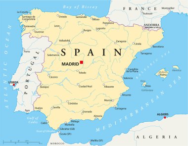
Map of Spain with national borders, most important cities, rivers and lakes

Map of Andorra in Europe

Outline map of Europe white background. Vector map with contour.
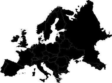
Abstract europe vector map on white
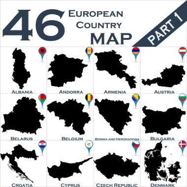
European country set with map pointers

Map of Europe with sovereign countries, ministates and Kosovo included. Simplified vector map in black color isolated on white background

Andorra marked by blue in grey political map of Europe. Vector illustration.

Blank map of Europe

Blank map of Europe. Simplified vector map in grey with white borders on white background.

Welcome to Andorra. Europe. Flag and map of the country of Andorra from brush strokes. Lettering. Vector illustration on white background

Political map of Europe with state names - vector illustration

Map of Europe 1985

Political map of Europe. European ministates included. Flat map on white background. Colorful vector illustration.

European political map set with map pointers

Simplified map of Europe (vector illustration)

Collection of vector maps of Northern, Western, Eastern and Southern Europe with the names of capitals

Administrative map of Europe

Maps of European countries with the names of capitals on a light gray background

Europe map illustration

Locator map showing the location of the country Andorra in Europe. The country is highlighted with a red polygon. Small countries are also marked with a red circle. The map shows yellow land areas, blue sea, state borders and a blue grid lines.

Europe map and flags
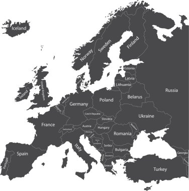
Europe political map with country names

Vector map of Europe with countries and names of their capitals on a blue background

Map of Europe in gray on a white background

Europe map mixed with countries national flags. All european flags vector collection

White map markers with flags - Europe. Original colors

Isometric 3D Andorra map, vector illustration with cities, borders, capital, administrative divisions and pointer marks; gradient blue background. Concept for infographic.

France political map with capital Paris, Corsica, national borders and neighbor countries. Gray illustration with English labeling and scaling on white background. Illustration.

Andorra Travel Destination logo - travel company logo design - Travel and Tourism concept with country flag - vector illustration

Grunge rubber stamp with the name and map of Andorra, vector illustration

Set of official national flags of Europe continent and other territories. Alphabetical order. Vector design illustration

Illustration of country flag with symbol and map

All European countries flags like pins

All European countries with provinces and different colors for EU, Ex Soviet and Ex Yugoslavia countries

Printable map of Andorra la Vella, Andorra with main and secondary roads and larger railways. This map is carefully designed for routing and placing individual data.

Set of wave buttons with European countries flags

Road and administrative map of France

Black map markers with flags - Europe. Original colors

Vector Europe map

"An old map" of Europe with flags of countries in the form of spots

Andorra la Vella Downtown 3D Vector Map of Famous Streets. Bright foreground full of colors. White Streets, Waterways and grey background areal. White Horizon.

Vector Europe map

All European countries pinned with their flags

Forty nine flags of European countries - alphabetical order with name. Set of 2d geolocation signs like national flags of Europre. Forty nine geolocation signs for your web site design, logo, app, UI. EPS10.
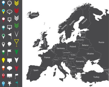
Europe map

Europe map with country borders, vector.

Map of administrative divisions of Principality of Andorra

Map of Europe with marked EU members (vector illustration)

Andorra la Vella Background Map, One Color Scalable Vector Art Print with Urban Cityscape Illustration

Modern national map vector illustration

Modern national map vector illustration

European Icons Round Indicator Flags and Map Set2. EU Europe Map, Zip includes 300 dpi JPG, Illustrator CS, EPS10. Vector with transparency.

Europe map with country borders, vector.