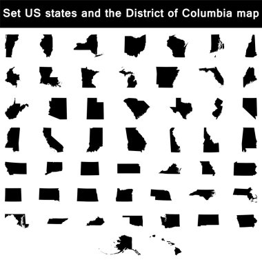
Vector illustration vector illustration set of US states maps

Map of Arkansas on white background, vector illustration

Map of Arkansas state designed in illustration with the counties and the county seats

Street map of the US state arkansas

Arkansas blank outline map set

Map of Arkansas state

Map of the U.S. state of Arkansas

Arkansas state map flat icon with long shadow EPS 10 vector illustration.

Arkansas state map with waving flag of US State. Vector illustration.

Arkansas State map with US flag inside and Map pointer with American flag

Outline maps of USA states collection, black lined vector map.

Blue abstract outline of Arkansas map

USA states map with names of cities

Vector Arkansas Map silhouette. Isolated vector Illustration. Black on White background.

3d Map outline and flag of Arkansas, A rectangular field of red, a large white diamond, bordered by blue and the word 'Arkansas' and four blue stars, on the blue band are 25 stars. With text Arkansas.

Arkansas, state of USA - solid black silhouette map of country area. Simple flat vector illustration.

Colorful USA map with states and capital cities

Vector road map of the US state of Texas
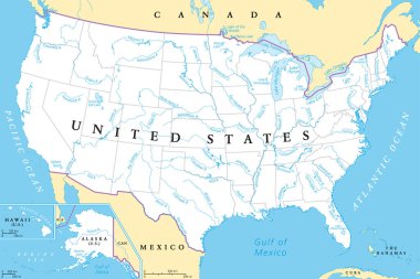
United States, rivers and lakes, political map. The main stems of the longest rivers, and the largest lakes of the United States of America, with the Great Lakes of North America. Illustration. Vector

Shiny icon in form of Arkansas - vector illustrator

Usa vector map with states names
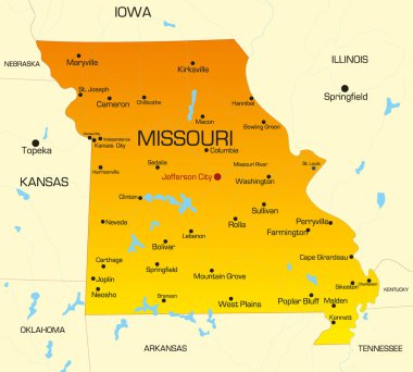
Vector color map of Missouri state. Usa
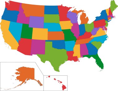
Colorful USA map with states
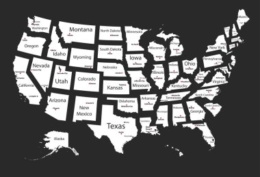
Usa states
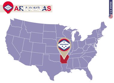
Arkansas State on USA Map. Arkansas flag and map. US States.
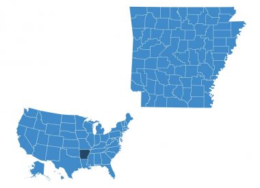
Map of Arkansas state

Map of Arkansas

Vector contour Map of Arkansas State with title. Map of Arkansas State is isolated on a white background. Simple flat dotted geographic map template.

USA map, colored square pixels on white background

USA 50 States Colorful Map and State Names vector

Vector illustration of vintage sticker in form of Arkansas state, USA
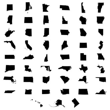
Set of US states map on a white background

Arkansas State in the United States map vector

Map of the U.S. state of Arkansas on a white background

State of Arkansas, USA

Arkansas Green Map Vector Design Template

Arkansas counties vector map with USA map colors national flag

Arkansas vector maps counties, townships, regions, municipalities, departments, borders
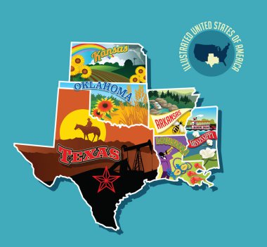
Illustrated pictorial map of south central United States. Includes Kansas, Oklahoma, Texas, Arkansas Louisiana and Mississippi. Vector Illustration.

Map of the U.S. state of Arkansas on a white background

A Scribbled shape of the State of Arkansas

Label sticker cards of State Arkansas USA. Stylized badge with the name of the State, year of creation, the contour maps and the names abbreviations

Accurate map of Arkansas

Mississippi River Basin in the USA detailed editable vector map, trending color scheme

United states of America political map with drop shadow on white background

Flat hand drawn map composition. Usa States
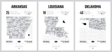
Highly detailed vector silhouettes of US state maps, Division United States into counties, political and geographic subdivisions of a states, West South Central - Arkansas, Louisiana, Oklahoma - set 12 of 17
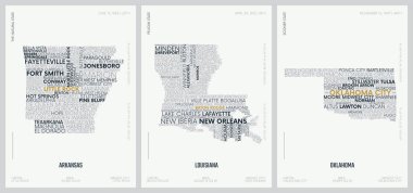
Typography composition of city names, silhouettes maps of the states of America, vector detailed posters, Division West South Central - Arkansas, Louisiana, Oklahoma - set 12 of 17

Set of US states in the map of America on a white background

US State Maps with flag collection, nine USA map contour with flag of Alabama, Alaska, Arizona, Arkansas, California, Colorado, Connecticut, Delaware, Florida

Simple map of Arkansas state of United States and location on USA map

Vector road map of the US state of Oklahoma
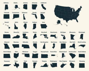
Outline map of the United States of America. 50 States of the USA. US map with state borders. Silhouette of the USA. Vector illustration.

Administrative vector map of the states of the Southeastern United States

State of texas political map
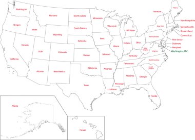
Outline USA map with states
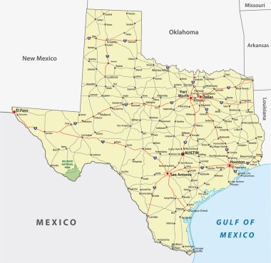
Texas State Interstate and Highway Map

USA map with states and capital cities
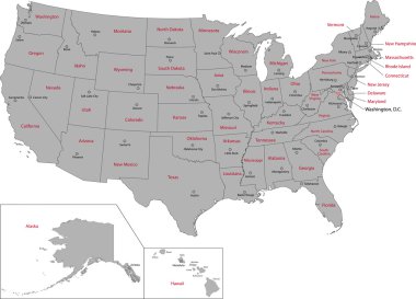
Gray USA map with states and capital cities

United States of America. 50 States. Vector illustration

United states of america map illustration isolated on white background

Road map of the US American State of louisiana
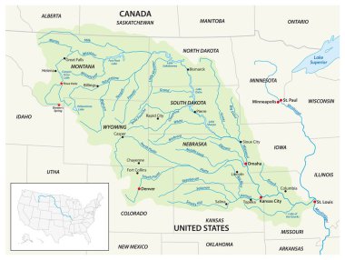
Vector map of the Missouri River Drainage Basin, United States, Canada

Highly detailed physical map of the US state of Texas

Highly detailed map of the United States. All states are separate elements and layered in alphabetic order
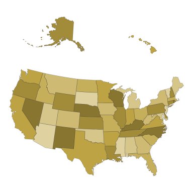
USA map - states separated in the groups - illustration for the web

Southeast region of United States, colored map. Also Southeastern United States, American Southeast, or simply Southeast, a geographic region, consisting of 12 contiguous states, and Washington, D.C.

Colorful USA map with states, and capital cities

United States census bureau regions and divisions vector map. Flag of United States of America

USA 50 States with State Names and Capital vector eps10
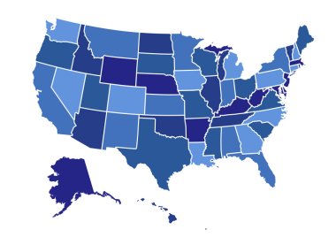
USA map vector illustration art on white background

USA map vector illustration

Map of America. United States Political map. US blueprint with the titles of states and regions. All countries are named in the layer panel

Independence County, Arkansas (U.S. county, United States of America,USA, U.S., US) map vector illustration, scribble sketch Independence map

Tennessee road vector map with flag
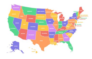
Colorful USA map. United States of America regions with different colors and names for travel and geography vector illustration infographic design. US land territory banner for education

Highly detailed political map of the USA including Alaska and Hawaii.

Set 3 of 5 Highly detailed vector silhouettes of USA state maps with names and territory nicknames

USA America Map States border isolated on white background. Vector illustration

Highly detailed USA map isolated on white. Blue colors. Highly detailed editable political map.
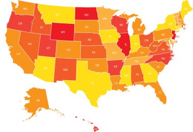
USA map with federal states. Vector illustration United states of America.

Kansas, KS, political map with capital Topeka, important rivers and lakes. State in the Midwestern United States of America nicknamed The Sunflower State, also The Wheat or The Jayhawker State. Vector

Highly detailed editable political map with separated layers. Arkansas.

USA 50 States Colorful Map and State Names vector

Very detailed vector file of all fifty states in 3d. Each state is grouped individually and labeled in the layers palette.

Tennessee road vector map
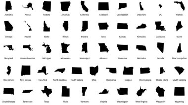
Vector illustrations of all fifty states of the united states of america with the names of each state written below

USA map vector illustration

Set 3 of 5 Division United States into counties, political and geographic subdivisions of a states, Highly detailed vector maps with names and territory nicknames

Oklahoma road vector map with flag
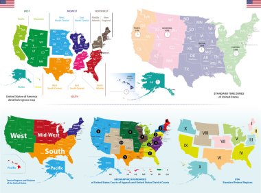
Vector maps of United States including regions and time zones maps

Arkansas, Arizona travel stickers with scenic attractions and retro text on vintage suitcase background

Arkansas state outline administrative and political map in black and white
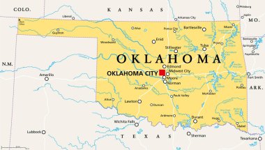
Oklahoma, OK, political map with capital Oklahoma City, important cities, rivers and lakes. US State in the South Central region, nicknamed Native America, Land of the Red Man, or Sooner State. Vector
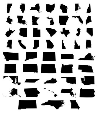
Set of US states maps vector illustration

Colorful USA map with states and capital cities. Vector illustration
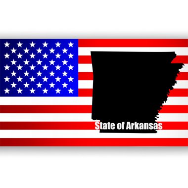
Map of the U.S. state of Arkansas

Arkansas - Louisiana - Mississippi - Alabama Map labelled black illustration
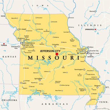
Missouri, MO, political map, with capital Jefferson City, and largest cities, lakes and rivers. State in Midwestern region of United States, nicknamed Show Me State, Cave State and Mother of the West.

Map of the United States of America, with borders and state names, Detailed vector illustration