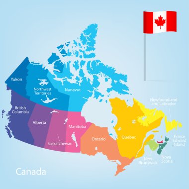
Colorful Canada map with provinces. Vector illustration.

Survey map of the four Canadian Atlantic States, Atlantic canada
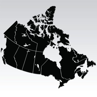
Vector map of Canada

Outline map of Canada
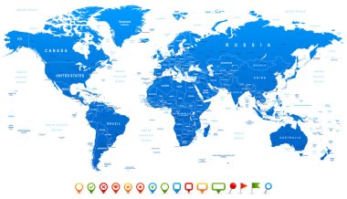
Highly detailed world map: countries, cities, water objects

Outline map of Canada

World map on gray background
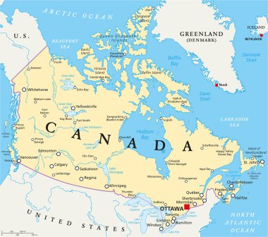
Canada Political Map with capital Ottawa, national borders, important cities, rivers and lakes. English labeling and scaling. Illustration.
World map background with pionts
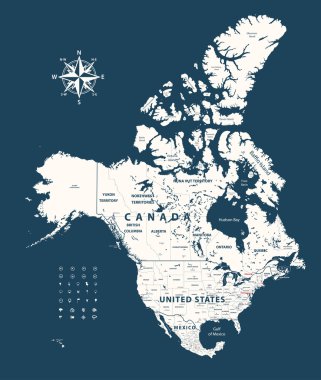
Canada, United States and Mexico vector map with states borders on dark blue background
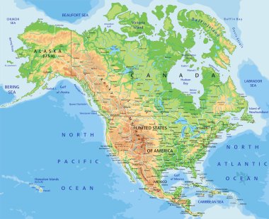
High detailed North America physical map with labeling.

Vector map of Canada

Atlantic Canada region location within Canada 3d isometric map

Set of the political Canada maps, markers and symbols for infographic

Vector map Canada. Isolated vector Illustration. Black on White background. EPS 10 Illustration.

World maps with different specification. 1 - highly detailed: countries, cities, water objects 2 - country contours 3 - world contours
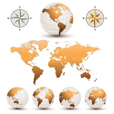
Earth globes with detailed world map, vector.

Detailed Vintage Cartoon World Map - vector illustration
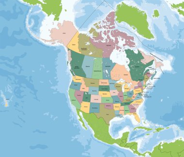
North America is a continent entirely within the Northern Hemisphere and almost all within the Western Hemisphere. The largest countries of the continent, Canada and the United States.
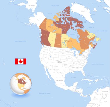
A High Detail vector Map of Canada, with capitals and major cities, a 3D globe centered on North America with canada Highlighted, and Canada flag.

Survey map of the four Canadian Atlantic States, Atlantic canada

World map background with points

USA and Canada large detailed political map and colorful map pointers
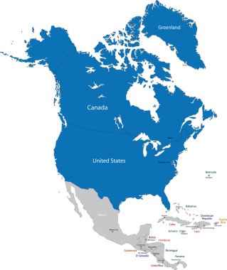
Members of NATO in North America

Canadian provinces and territories map colored by regions. Map, flag and largest city skylines of Canada. Vector illustration

USA and Canada large detailed political map with roads, navigation icons and water objects isolated on white.

USA and Canada large detailed political map
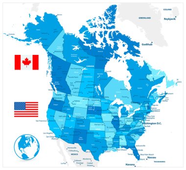
USA and Canada large detailed political map in colors of blue

USA and Canada large detailed political map in colors of blue and map pointers

Canada map in blue color with national borders. Vector illustration.

Canada - Highly detailed editable political map with labeling.

Retro color political map of USA and Canada

USA and Canada detailed political map with flags and navigation icons isolated on white.

Color map of the USA and Canada

Canada map hand drawn sketch. Vector concept illustration flag, childrens drawing, scribble map. Country map for infographic, brochures and presentations isolated on white background. Vector

Red map of canada vector illustration isolated on white background

Vector Illustration of a Administrative and Political Map of Canada

Political map of North American countries Canada, United States of America, Mexico with administrative divisions. Central American Countries and Caribbean Region. Colorful blank map. Vector
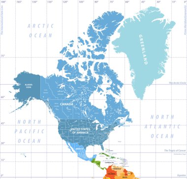
North America high detailed political map. All layers detached and labeled.

Outline maps of the countries in North and South America continent , vector illustration

High detailed United States of America road map with labeling.

Vector map of Canada made by artistic brush strokes

United States of America - Highly detailed editable political map with labeling.

High detailed map of North and South America

United States of America - Highly detailed editable political map with labeling.
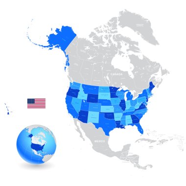
A High Detail vector Map of the United States of America States, with capitals and major cities, a 3D globe centered on USA, USA flag.
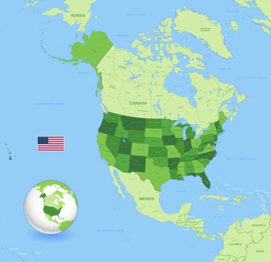
A High Detail vector Map of the United States of America States with capitals and major cities a 3D globe centered on USA; USA flag.

North and South America high detailed vector political map

High detailed United States of America physical map with labeling.
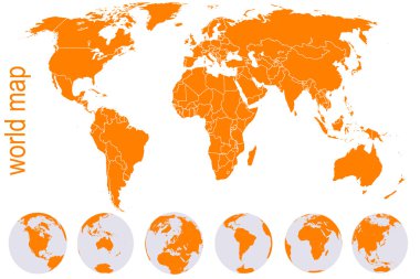
Orange detailed world map with Earth globes

Blue World map with color points
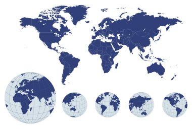
World map with earth globes, editable vector.

Blue World map with color points

South and North America high detailed vector political map

A High Detail vector Map of the United States of America States, with capitals and major cities, a 3D globe centered on USA, USA flag.

Old vintage color political map of USA and Canada
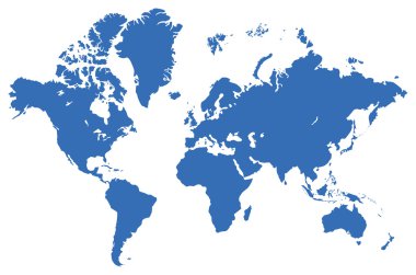
Global map, isolated on a white. Vector illustration

North and South America vector political map in tints of soft blue
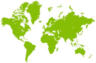
Global map, isolated on a white. Vector illustration

Highly detailed editable political map with separated layers. United States of America.

North and South America high detailed vector map

Canada map, colorful map in vector
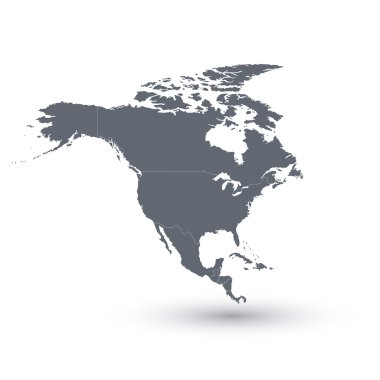
North America Map Vector illustration
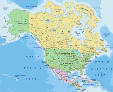
North America - Highly detailed editable political map with separated layers.
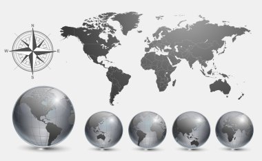
Globes with world map vector.

Canada - vector map

Blue marble globe showing the Pacific Ocean, the Americas and the Atlantic Ocean.

Icons of Earth on a white background The base map is from http://www.lib.utexas.edu/maps/world.html
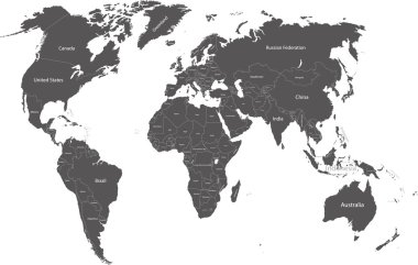
World political map with country names

Physical World Map Retro Colors with labeling. Vector illustration.

Canada highly detailed physical map,in vector format,with all the relief forms,regions and big cities.

World map countries colorful. Vector illustration.

Vector illustration of World map and navigation icons.
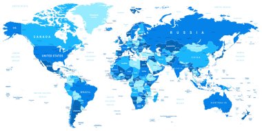
Highly detailed vector illustration of world map.

Detailed Political World map isolated on white. Vector illustration.

Canada, Map, Location Business Logo Template. Flat Color

World map with colored countries

Planet country on flat vector design

Grey vector world map with borders of all countries

World map countries colorful with dots. Vector illustration.

Detailed Physical World Map with labeling. No bathymetry. Vector illustration.

Vector illustration of World map and navigation icons
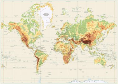
Detailed Physical World Map Isolated on Retro White Color. Vector illustration.

Detailed vector World map of blue colors and colorful map pointers

Detailed Political World map. Vector illustration.

World map with color people icons on gray background

Grey map of the world with indication of United Kingdom

World map on white background

Highly detailed world map: countries, cities, water objects.

Map of the world is full of beautiful colors. Suitable for medium of instruction for children. And illustration

Political map of North American countries Canada, United States of America and Mexico with administrative divisions. Thin black outline map with countries and states name labels. Vector illustration

Map of North America with names of countries, capitals and cities. Vector illustration

North America map. Vector illustration

Vector North America Map

Cape Breton Island, Nova Scotia, Canada, political map. Rugged and irregularly shaped island on Atlantic coast of North America. Physically separated from Nova Scotia Peninsula by the Strait of Canso.

Black and white map of the USA and Canada

North America administrative vector map with latitude and longitude

Political map of North American countries Canada, United States of America and Mexico with administrative divisions. Solid gray blank map with white borders. Vector illustration

Colorful Canada map with provinces and capital cities
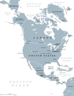
North America, gray political map. Continent bordered by South America, Caribbean Sea, and by the Arctic, Atlantic and Pacific Ocean. The largest countries are Canada, the United States, and Mexico.