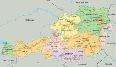
Austria - Highly detailed editable political map with labeling.
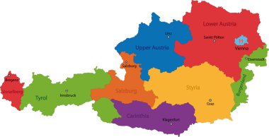
Map of administrative divisions of Austria

Blind map of Austria divided to regions, vector illustration
Silhouettes of Austria and the federal states
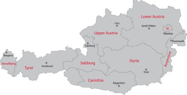
Gray Austria map with states and main cities
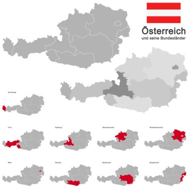
European country austria and the federal states
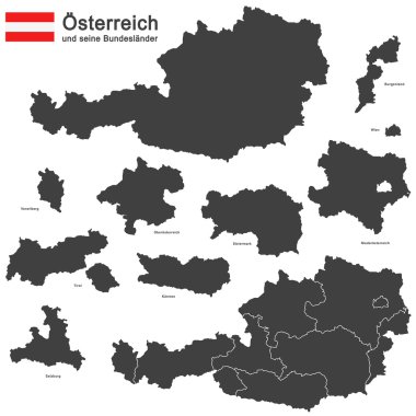
Silhouettes of Austria and the federal states

Black Austria map with region borders

Abstract map of Austria

Austria simple map outline - simplified country shape map vector.

Silhouette of Austria with federal states, blue political map. The Republic of Austria, a landlocked country in Central Europe with its capital Vienna, consisting of nine federal states or provinces.

New administrative and political map of austria in german language, 2020

Outline Austria map with states and main cities

Austria map administrative division separates regions and names individual region, design card blackboard chalkboard vector

Location of Upper Austria map Austria. 3d location sign similar to the flag of Upper Austria. Quality map with states of Austria for your design. EPS10.

Austria map with no kangaroo sign. There are no kangaroos in Austria, but in Australia. Vector illustration on white background.

Detailed vector map of Austria and capital city Vienna

European country austria and the federal states

Austria map card paper 3D natural vector

Outline Simple Map of Austria
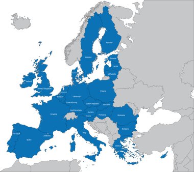
The 27 Member State of the European Union

Austria map, administrative division, separate individual states with state names, color map isolated on white background vector

Silhouettes of Austria and the federal states

Green map of Austria

Outline Europe map with countries

Austria icon. Shape of the country with Austria flag. Round sign with flag colors gradient ring. Charming vector illustration.
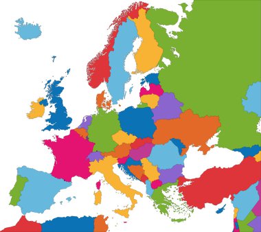
Colorful Europe map with country borders

Colorful Austria map with states and main cities

Black map of Austria

Vector Austria Map card paper on blue background, high detailed

Austria map and words cloud with larger cities

Austria - solid black silhouette map of country area. Simple flat vector illustration.

Austria vector watercolor map illustration

Outline maps collection, nine black lined vector map of Argentina, Armenia, Australia, Austria, Azerbaijan, Bahrain, Bangladesh, Barbados, Belarus
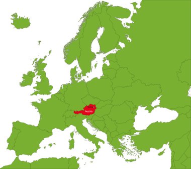
Location of Austria on the Europa continent

Austria map with borders, cities, capital Vienna and administrative divisions. Infographic vector map. Editable layers clearly labeled.

Austria vector set. Detailed country shape with region borders, flags and icons isolated on white background.

European country austria and the federal states

Vector map of Austria . High detailed map with division, cities and capital Vienna. Political map, world map, infographic elements.
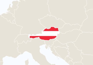
Europe with highlighted Austria map. Vector Illustration

High Quality map of Lower Austria is a state of Austria, with borders of the counties

Silhouettes of Austria and the federal states

Austria vector map. Editable template with regions, cities, red pins and blue surface on white background.
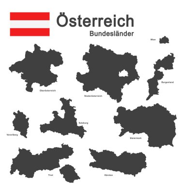
Silhouettes of Austria and the federal states

Austria map flag, great design for any purposes. Chart concept. World map icon. Vector illustration. Stock image. EPS 10.

Map of administrative divisions of Austria

Western europe - vector maps of territories
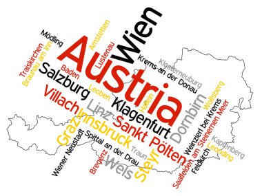
Map of Austria and text design with major cities

Austria blank detailed outline map set

Austria Outline Map with Green Colour. Modern Simple Line Cartoon Design - EPS 10 Vector

Austria map vector illustration, Austria map silhouette, Austria country

Austria outline map vector with administrative borders, regions, municipalities, departments in black white colors

Location of Burgenland map Austria. 3d location sign similar to the flag of Burgenland. Quality map with states of Austria for your design. EPS10.

Flag of Austria - vector illustration
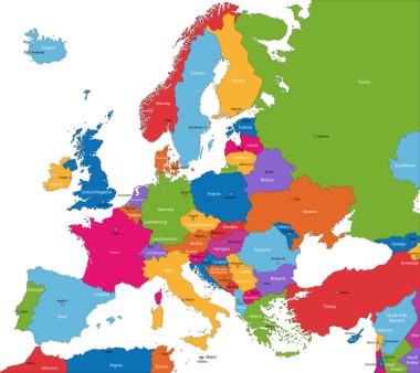
Colorful Europe map with countries and capital cities

Printable map of Korneuburg, Austria with main and secondary roads and larger railways. This map is carefully designed for routing and placing individual data.

Map art vector background nation

Administrative and political map of the Austrian state of Styria

Black location map of Viennese Mariahilf district inside gray map of Vienna, Austria

Czech Republic map, black and white detailed outline regions of the country. Vector illustration

Simple all european union countries in one outline map eps10

Europe - Political Map of Europe
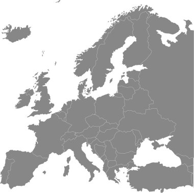
Europe vector political map

Map of European Countries in blue and grey tones

Simple black outline maps all european union countries collection eps10

High detailed Germany physical map.

High detailed Germany physical map.

High detailed Germany physical map.

Europe map without names of countries
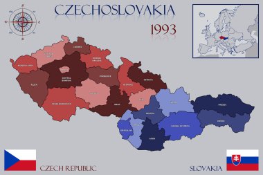
Illustration of a Map of Czechoslovakia

The Vienna city administrative map with labels, Austria
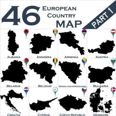
European country set with map pointers

Austria Map and Colored Map Icons - Detailed map of Austria vector illustration - All elements are separated in editable layers clearly labeled.

Vector map Vienna district

Administrative and political vector map of switzerland

Czech Republic and Slovakia countries detailed editable map with regions cities and towns, roads and railways, geographic sites. Vector EPS-10 file

High detailed Germany physical map with labeling.

High detailed Germany physical map with labeling.

High detailed Austria physical map with labeling.
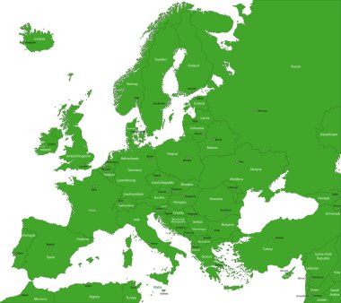
Green Europe map with countries and capital cities

Vector color map of Liechtenstein country

Vector map of the Italian national highway system

Map of Swiss national and nature parks

Europe single states political map. All countries in different colors, with national borders and country names. English labeling and scaling. Illustration on white background.

Map of Central Europe with the most important cities and rivers

Italy administrative vector map

High detailed Germany physical map with labeling.

Central Europe Region. Colorful map of countries in central part of Europe. Vector illustration.

Map of Europe 1985

Blank map of Europe

Austria Administrative Map and Roads - Detailed map of Austria vector illustration - All elements are separated in editable layers clearly labeled.

High detailed Austria physical map with labeling.

Highly detailed physical map of Austria,in vector format,with all the relief forms,regions and big cities.

Europe countries political map with national borders and country names. English labeling and scaling. Illustration on white background.

Germany Map. Zoom on World Map. 4k Stock Video Footage. Motion Graphics. Vector Stock Illustration

European political map set with map pointers

Italy administrative and political vector map

Austria Map White Color - Detailed map of Austria vector illustration - All elements are separated in editable layers clearly labeled.

Czech Republic and Slovakia map on a white background. Vector illustration

Map of Europe