
Blind map of Austria divided to regions, vector illustration
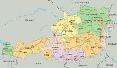
Austria - Highly detailed editable political map with labeling.
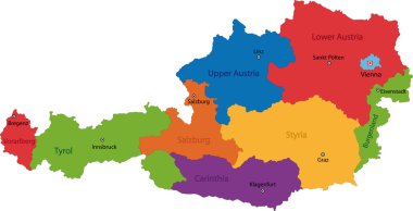
Map of administrative divisions of Austria
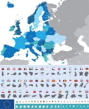
Vector high detailed map of Europe with flags
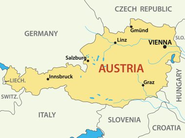
Map of Austria - vector illustration
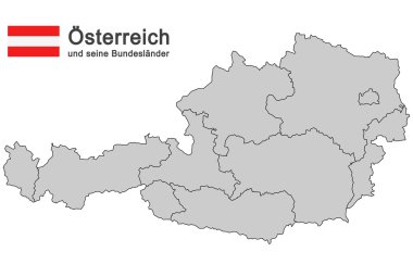
Silhouettes of Austria and the federal states
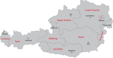
Gray Austria map with states and main cities
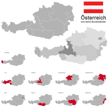
European country austria and the federal states

Map of Austria with decoration of national flag, vector illustration
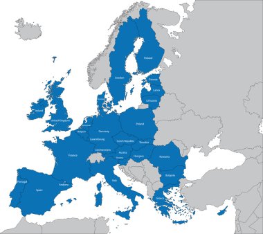
The 27 Member State of the European Union
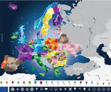
High detailed Europe map with coutries names and region borders
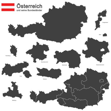
Silhouettes of Austria and the federal states

Black Austria map with region borders

Austria map with regions on white background

Austria blank detailed outline map set
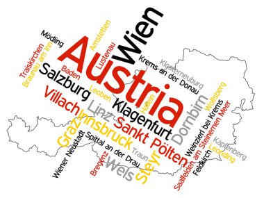
Map of Austria and text design with major cities
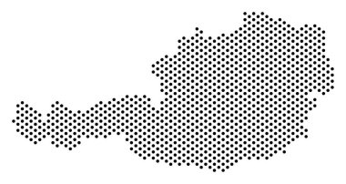
Dot Austria map. Vector territorial scheme. Cartographic concept of Austria map constructed with sphere points.
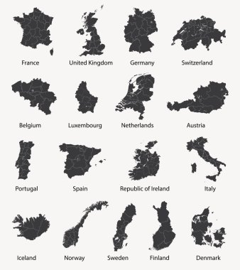
Vector set of european maps with region borders

Silhouette of Austria with federal states, blue political map. The Republic of Austria, a landlocked country in Central Europe with its capital Vienna, consisting of nine federal states or provinces.

Austria Map. Detailed Vector Illustration of Austrian Map. Stock Template

The map of the network of the Austria. Vector low-poly image of a global map with lights in the form of a population density of cities consisting of shapes in the form of stars

Detailed map of Europe
Flag map Austria

New administrative and political map of austria in german language, 2020

Austria, political map, with the capital Vienna, nine federated states and their capitals. With borders and the neighbor countries. English labeling. Illustration. Vector.

Vector European map combined with flags

Landmarks map of Austria. Sightseeing in Vienna, Salzburg, Solden, Tyrol, Melk. Opera and St. Stephen cathedral, strudel, skiing, church olympic games Abbey Hochosterwitz castle Architecture theme

Map of Austria - high details vector illustration
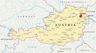
Political map of Austria with capital Vienna, with national borders, most important cities, rivers and lakes. Illustration with English labeling and scaling.

Austria map colorful country icon

Map icon of Austria. Vector logo illustration with text Made in Austria. Blue halftone dots background. Round pixels. Modern digital graphic design. Light white backdrop
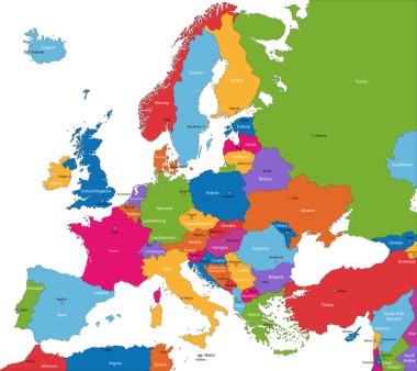
Colorful Europe map with countries and capital cities

Outline Austria map with states and main cities

Austria map administrative division separates regions and names individual region, design card blackboard chalkboard vector

Location of Upper Austria map Austria. 3d location sign similar to the flag of Upper Austria. Quality map with states of Austria for your design. EPS10.

Austria map with no kangaroo sign. There are no kangaroos in Austria, but in Australia. Vector illustration on white background.

Vector dotted map of Austria isolated on white background . Travel vector illustration

Detailed vector map of Austria and capital city Vienna

European country austria and the federal states
Grunge rubber stamp with the name and map of Austria on vintage background, vector illustration

Austria map card paper 3D natural vector

Austria map cover vector

Vector detailed map of Europe

Member states of the european union map without united kingdom

High detailed colored political map of Europe with countries' regions. Vector
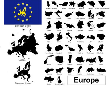
Vectors of european countries, Europe and European Union
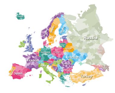
Colored political map of Europe with countries' regions. Vector illustration
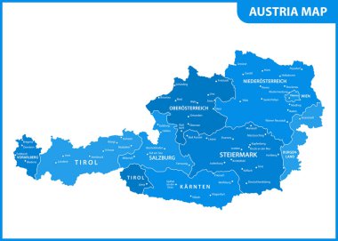
The detailed map of the Austria with regions or states and cities, capital

Outline Simple Map of Austria

Austria - detailed blue country map with cities and regions. Vector illustration.

Austria map, administrative division, separate individual states with state names, color map isolated on white background vector

Silhouettes of Austria and the federal states

Green map of Austria

Austria - detailed map with administrative divisions and country flag. Vector illustration

Austria Map with federal states grey isolated

Austria, gray colored political map, with the capital Vienna, nine federated states, the capitals and borders. English labeling. Isolated illustration on white background. Vector.
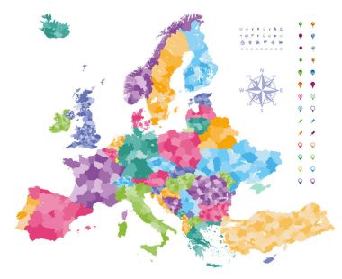
Europe map colored by countries with regions borders. Navigation, location and travel icons collection.

Map of Austria

Austria Flag National Europe Emblem Map Icon Vector Illustration Abstract Design Element
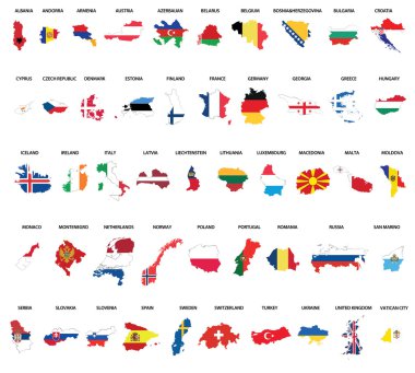
Europe country maps combinated vith flags

Austria icon. Shape of the country with Austria flag. Round sign with flag colors gradient ring. Charming vector illustration.

Outline maps of the countries in European continent, vector illustration

Flag map Austria

Europe map - highly detailed vector illustration.

Outline Europe map with countries

The European Union map and flags
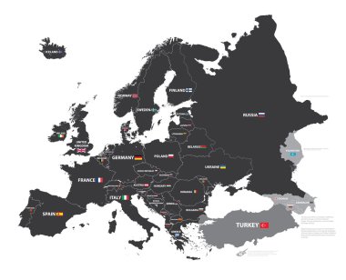
European map with country names and flags

European Union map
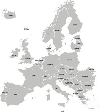
Nice europe map isolated on white background

The European Union highly detailed vector map
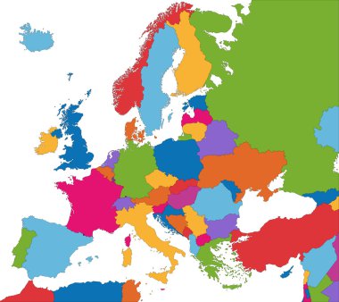
Colorful Europe map with country borders
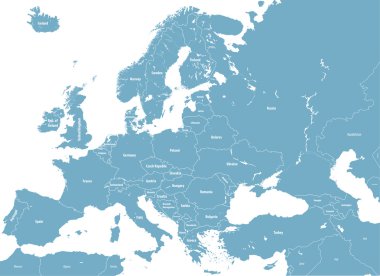
Europe high detailed political map. All elements detachable and labeled. Vector
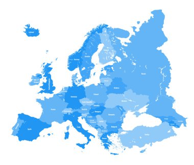
European political map. All layers detachable and labeled
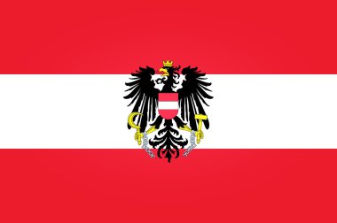
Flag of Austria

Black map of Austria

Vector Austria Map card paper on blue background, high detailed

Europe map combined with country flags. All elements separated in detachable layers. Vector

Austria map and words cloud with larger cities

Austria - solid black silhouette map of country area. Simple flat vector illustration.

Europe map cover vector

Vector set of Austria country. Isometric 3d map, Austria map, Europe map - with region, state names and city names. Fonts : Myriad Pro, Roboto

Austria vector watercolor map illustration
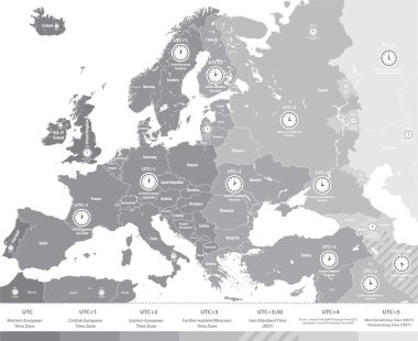
Europe time zones map in grey scales with location and clock icons. All layers detachable and labeled.Vector

Map of Europe colored by countries with regions borders. Flags of all european countries. Navigation, location and travel icons. All elements separated in labeled and detached layers. Vector

Europe map colored by countries with regions borders. Navigation, location and travel icons collection. All elements separated in labeled and detachable layers. Vector

Energy industry and ecology of Austria vector map with power stations infographic.

Europe map isolated on white background. Vector illustration. Eps 10.

Outline maps collection, nine black lined vector map of Argentina, Armenia, Australia, Austria, Azerbaijan, Bahrain, Bangladesh, Barbados, Belarus

Austria map with borders, cities, capital Vienna and administrative divisions. Infographic vector map. Editable layers clearly labeled.

Austria vector set. Detailed country shape with region borders, flags and icons isolated on white background.

European country austria and the federal states

Zoom on Austria Map and Flag. World Map

Folded paper map of Austria with flag pin of Austria. Vector Illustration

Vector map of Austria . High detailed map with division, cities and capital Vienna. Political map, world map, infographic elements.
Grunge rubber stamp with the name and map of Austria, vector illustration

Illustration of europe map with yellow stars

Austria map in the form of the Austrian flag against a flag. vector

High Quality map of Lower Austria is a state of Austria, with borders of the counties

Germany / Switzerland / Austria
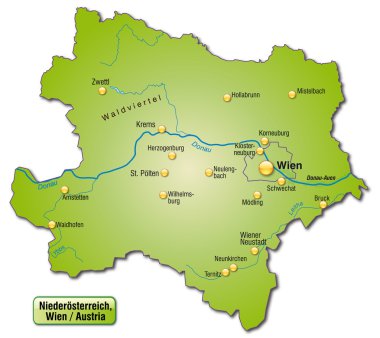
Map of Lower Austria as an overview map in green