Kazakhstan political map with capital Astana, national borders, important cities, rivers and lakes. Republic in Central Asia and the worlds largest landlocked country. English labeling. Illustration.

Kazakhstan highly detailed physical map,in vector format,with all the relief forms and big cities

Vector physical map of Kazakhstan. Color map, mountains and plains, rivers and lakes. Major cities, roads and regional boundaries

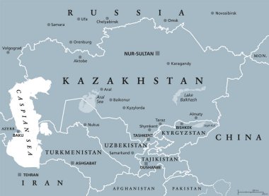
Central Asia, gray political map. Subregion of Asia, consisting of former Soviet republics, stretching from the Caspian Sea to China and Mongolia, and from south of Russia to Afghanistan and Iran.

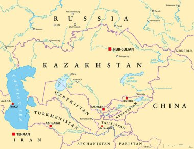
Central Asia, political map with capitals. Subregion of Asia, consisting of former Soviet republics stretching from Caspian Sea to China and Mongolia, and from Afghanistan and Iran to south of Russia.

Cartographic infographic seven rivers "Semirechye". Kazakhstan, Almaty region. Here is a brief description of the rivers. The length, area, elevation and volume of the outflow of the river. Vector. Translation: Seven rivers "Zhetysu".