
Basin City (Washington) blank outline map

East Basin (Utah) blank outline map

Molucca Sea on the world map. Vector illustration.

Map of Ukraine - simple hand drawn sketch style black line outline contour map. Vector illustration isolated on white. Ukrainian border silhouette drawing

Map of the Woerthersee with the most important cities, Carinthia, Austria

Hungary - Highly detailed editable political map with labeling.

Mississippi River Basin in the USA detailed editable vector map, trending color scheme

West Indies - vector maps of countries

High detailed Hungary road map with labeling.

Vector map of the Colorado River drainage basin, United States

High detailed Hungary physical map with labeling.

Map of the great lakes and st lawrence river drainage aregions

Hungary - Highly detailed editable political map with labeling.

Highly detailed editable political map with separated layers. Hungary.
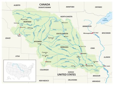
Vector map of the Missouri River Drainage Basin, United States, Canada
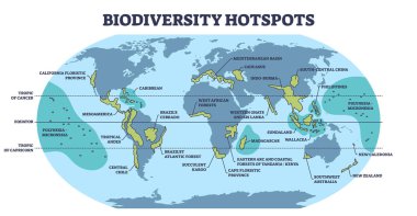
Biodiversity hotspots with life species variety on world map outline diagram. Labeled educational animal habitats scheme with ecosystem most dense places on geographical atlas vector illustration.
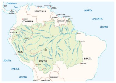
Vector map of the Amazon River drainage basin
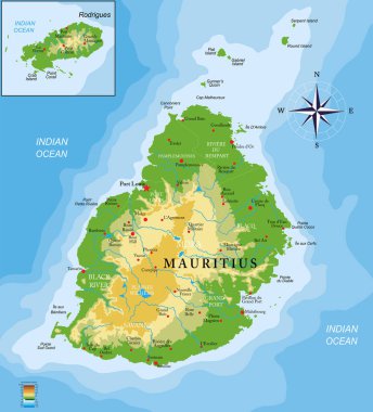
Mauritius islands physical map

Lake ontario drainage basin vector map
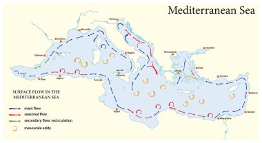
Surface flow map in the mediterranean sea

Simple overview map of the Hungarian Lake Balaton
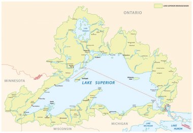
Lake superior drainage basin vector map

Lake erie drainage basin vector map

Lake michigan drainage basin vector map
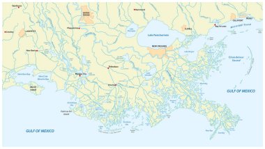
Detailed map of the Mississippi River Delta in the US state of Louisiana
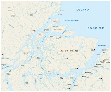
Detailed vector map of the mouth of the Amazon River in the Atlantic Ocean, Brazil
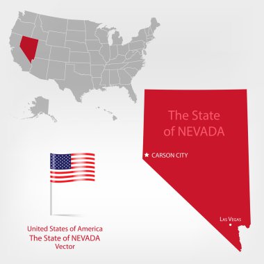
Highly detailed vector illustration of Nevada. With American flag.

Map of Mississippi river drainage basin. Simple thin outline vector illustration.

Map of Yangtze river drainage basin. Simple thin outline vector illustration.
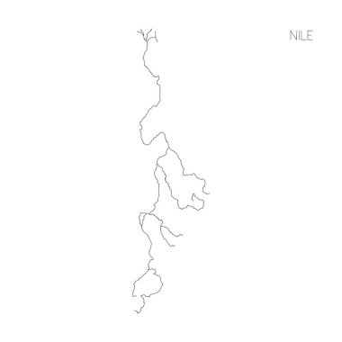
Map of Nile river drainage basin. Simple thin outline vector illustration.

Depositional landforms and sediment created relief area types outline diagram. Labeled educational scheme with gulf, peninsula, delta, bay and island water geological formation vector illustration.
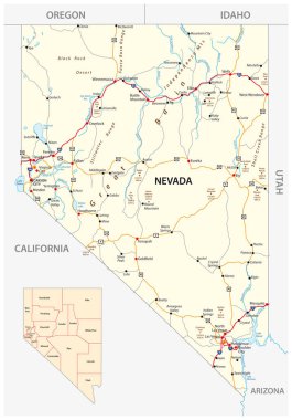
Nevada road and administrative map with interstate US highways and main roads
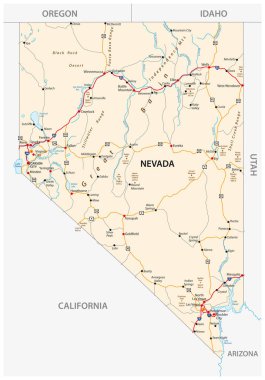
Nevada road map with interstate US highways and federal highways

The traditional cultural areas of the North American indigenous peoples vector map.

Republic of Hungary isolated map and official flag icons. vector Hungaian political map 3d illustration. Central Europe country geographic banner template

Set of the hotel services related icons

Map of Nevada state of the USA, with landmarks. Colorful hand drawn illustration

Republic of Hungary isolated map and official flag icons. vector Hungaian political map outline. Central Europe country geographic banner template

Republic of Hungary isolated maps and official flag icon. vector Hungaian political map icons with general information. European country geographic banner template

Set of the hotel services related icons

Map of the Metropolitan Association of Upper Silesia and the Dabrowa Basin in Poland

Map of Volga river drainage basin. Simple thin outline vector illustration.
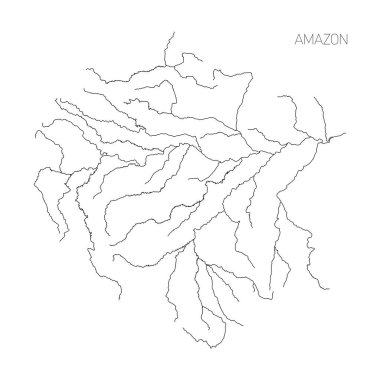
Map of Amazon river drainage basin. Simple thin outline vector illustration.
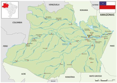
Map of the Brazilian state of Amazonas

Basin (Wyoming) blank outline map
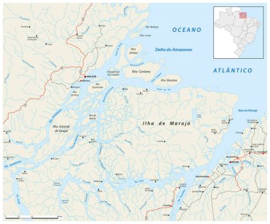
Road map of the Amazon Delta in Brazil

Highly detailed editable political map with separated layers. Hungary.

Map of the deserts in southern Africa