
World map centered on America with magnified South Africa. Blue flag and map of South Africa. Abstract vector illustration.
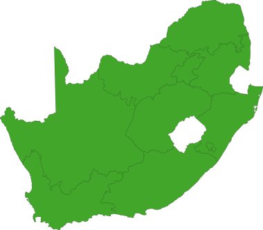
South Africa map designed in illustration with the provinces
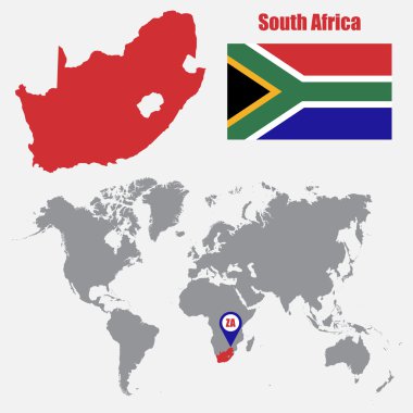
South Africa map on a world map with flag and map pointer. Vector illustration

South Africa - detailed blue country map with cities, regions, location on world map and globe. Infographic icons. Vector illustration
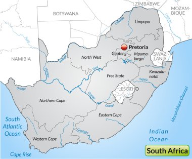
Map of south africa with borders in gray

South Africa map and flag - highly detailed vector illustration
South Africa flag - thin black vector outline wireframe isolated on white background. Ready for colouring.

South Africa map and flag - highly detailed vector illustration
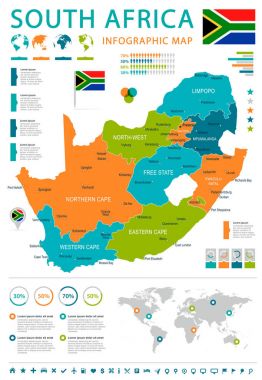
South Africa map and flag - highly detailed vector illustration
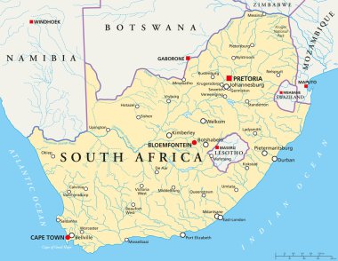
Political map of South Africa with the capitals Pretoria, Bloemfontein and Cape Town, with national borders, the most important cities, rivers and lakes. Vector illustration with english labeling and scale.
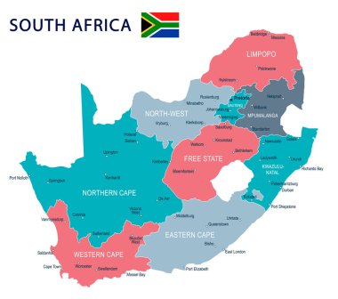
South Africa map and flag - highly detailed vector illustration

Flag of South Africa brush strokes. Flag of South Africa on transparent background for your web site design, app, UI. Distress style. EPS10.
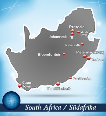
Map of south africa with abstract background in blue

Conceptual illustration of a trip to South Africa with travel gear.

South Africa political map of administrative divisions - provinces. Solid blue blank vector map with white borders.

South Africa flag - flat collection. Flags of different shaped twelve flat icons. Vector illustration set

South Africa political map of administrative divisions - provinces. 3D turquoise vector map with name labels.
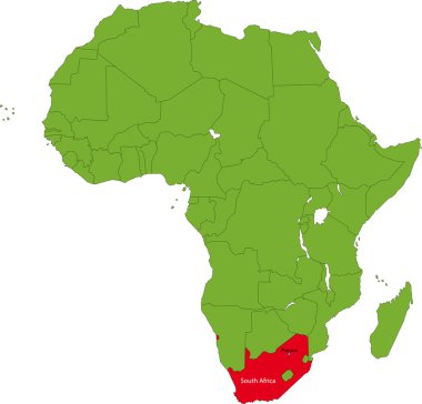
Location of South Africa on the Africa continent

Map of south africa as an overview map in pastel green

Abstract rounded World Map with pinned detailed South Africa map. Vector Illustration.

South African flag with heart shape in pixel art style

Map of south africa with borders in violet

Map of south africa as an overview map in gray

Map of south africa with main cities in green

Map of south africa as an overview map in pastel green

South Africa map and flag - highly detailed vector illustration
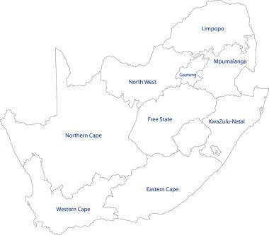
South Africa map designed in illustration with the provinces

South Africa administrative blue-green map with country flag and location on a globe. Vector illustration

Vector set of banners with the national flag of the South africa.

Field Hockey Player Woman Athlete Sport Competition Flat Vector Illustration
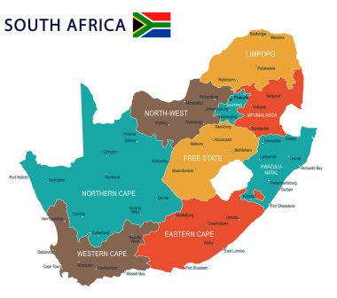
South Africa map and flag - highly detailed vector illustration
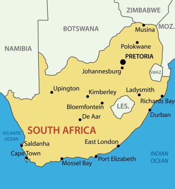
Republic of South Africa - vector map

South Africa Location Highlighted on African Map with Flag Icon.

Hockey Player Sport Competition Colorful Banner Flat Vector Illustration

Blue-gray detailed map of South Africa administrative divisions and location on the globe. Vector illustration

South Africa. Collection of four vector hearts with flag. Heart silhouette

Map of south africa with borders in pastel green
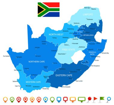
South Africa map and flag - highly detailed vector illustration

Zoom on South Africa Map and Flag. World Map

A poster with a large scratched frame and a grunge south Africa flag for your publicity

South Africa map with flag inside and ribbon
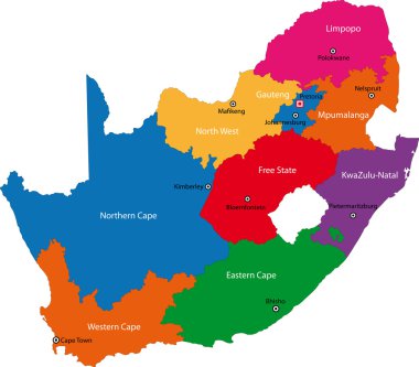
South Africa map designed in illustration with the provinces and the main cities
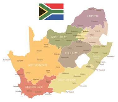
South Africa map and flag - highly detailed vector illustration

South Africa map and flag - highly detailed vector illustration

South Africa, political map with provinces, largest cities, international and administrative borders. Republic and southernmost country in Africa, with capitals Pretoria, Cape Town and Bloemfontein.

South Africa flag in grunge brush stroke, vector image

Map of south africa with borders in pastel orange

Peace Sign of the South African Flag

South Africa flag - map pin flag representing a country cultural identity and heritage. The essence of national pride and unity. Map pin flag stuck in a white background

Map of south africa with main cities in green

South Africa national vector drawing map on white background

Map of south africa as an overview map in green

South Africa map and flag - highly detailed vector illustration
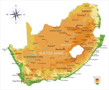
South Africa highly detailed physical map, in vector format,with all the relief forms,regions and big cities.
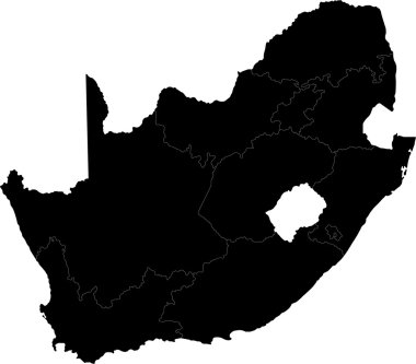
South Africa map designed in illustration with the provinces

Map of south africa with borders in pastel orange

Map of south africa as an overview map in pastel orange
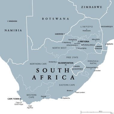
South Africa, gray political map with nine provinces, with largest cities, and borders. Republic and southernmost country in Africa, with the three capitals Pretoria, Cape Town and Bloemfontein.

Africa contoured map with highlighted South Africa. South Africa map and flag on Africa map. Vector Illustration.

Magnifying glass showing a map of South Africa on a world map.
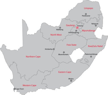
South Africa map designed in illustration with the provinces and the main cities.

South Africa Map Pin with National Flag on Open World Map.

Urban vector city map of Bloemfontein, South Africa.

Map of south africa with borders in gray

Map of south africa with borders in green

South Africa abstract flag brochure cover poster background vector

Political map of South-Central Africa with capitals, national borders, rivers and lakes. With english labeling and scale.
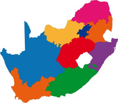
South Africa map designed in illustration with the provinces

South Africa map with the provinces and the main cities

South Africa map and flag - highly detailed vector illustration