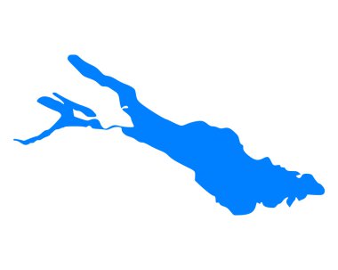
Map of Lake Constance

Map of Lake Constance

Map of Lake Constance

Amstetten, Baden, Bludenz, Bodensee outline maps
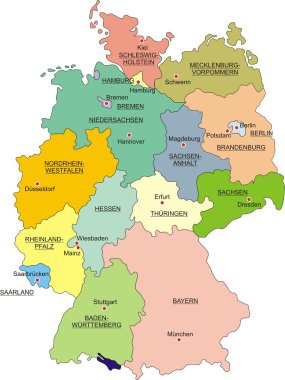
Map of Germany with national boundaries and national capitals

Map of Lake Constance

Map of Lake Constance

Map of Lake Constance

Map of Lake Constance
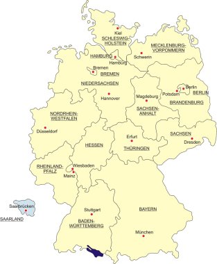
Map of Germany, national boundaries and national capitals. State of Saarland cut out and separated
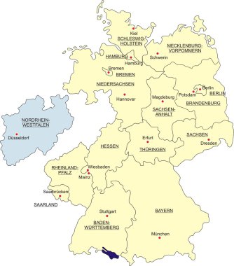
Map of Germany, national boundaries and national capitals. State of North Rhine-Westphalia cut out and separated
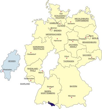
Map of Germany, national boundaries and national capitals. State of Hesse cut out and separated
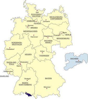
Map of Germany, national boundaries and national capitals. State of Saxony cut out and separated
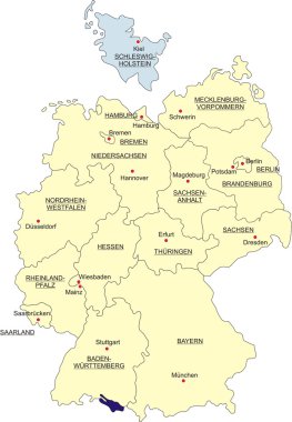
Map of Germany, national boundaries and national capitals. State of Schleswig-Holstein cut out and separated
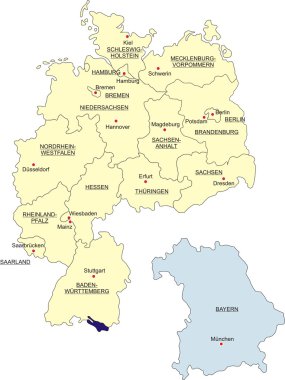
Map of Germany, national boundaries and national capitals. State of Bavaria cut out and separated
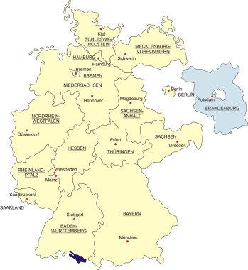
Map of Germany, national boundaries and national capitals. State of Brandenburg cut out and separated
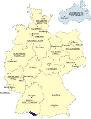
Map of Germany, national boundaries and national capitals. State of Mecklenburg-Western Pomerania cut out and separated
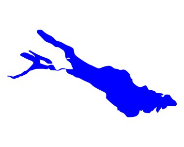
Map of Lake Constance
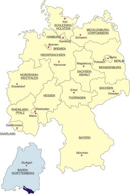
Map of Germany, national boundaries and national capitals. State of Baden-Württemberg cut out and separated

Map of Germany, national boundaries and national capitals. State of Berlin cut out and separated
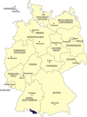
Map of Germany, national boundaries and national capitals. State of Hamburg cut out and separated

Map of Lake Constance

Map of Lake Constance

Map of Lake Constance