
Official Flag of Germany, vector illustration
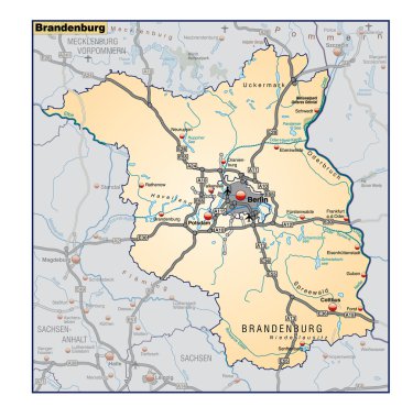
Bundesland Brandenburg als Umgebungskarte in orange

A simple 3D map of North Rhine-Westphalia.
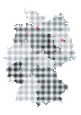
German map raster, the counties or states are grouped
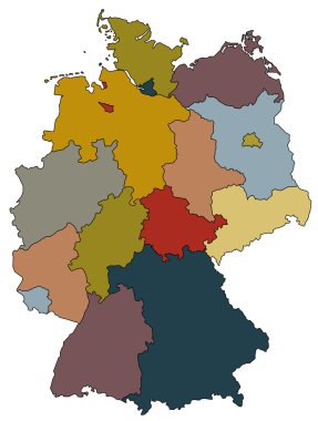
Map of germany with all provinces in different colors
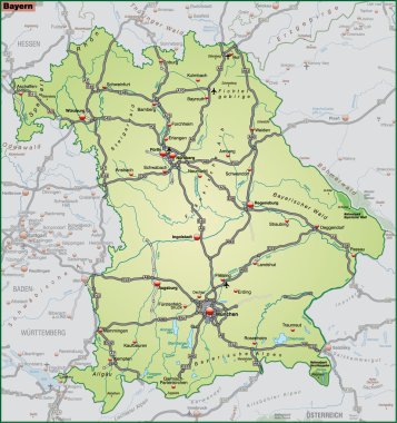
Bundesland Bayern als Umgebungskarte in gruen
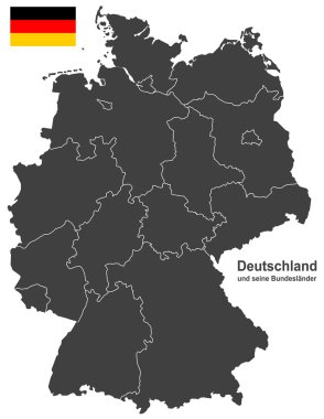
European country germany and the federal states
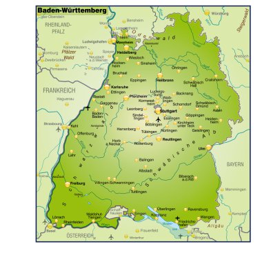
Bundesland Baden Württemberg als Umgebungskarte Uebersicht
A simple 3D map of Germany.

West european country germany and the federal states

Map of Germany with its federal states. Highly detailed map of Germany with administrative divisions (states), cities and pictogram navigation icons
A simple 3D map of Bavaria.
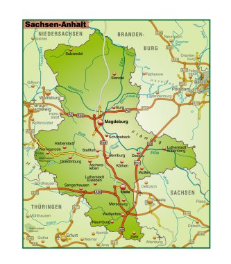
Bundesland Sachsen Anhalt als Umgebungskarte in bunt
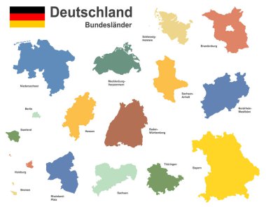
West european country germany and the federal states
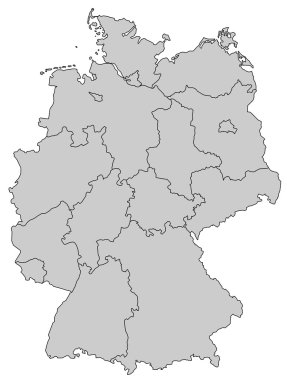
Germany Map - Provinces gray
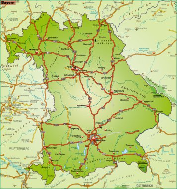
Bundesland Bayern als Umgebungskarte in bunt
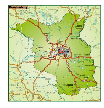
Bundesland Brandenburg als Umgebungskarte in bunt
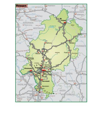
Bundesland Hessen als Umgebungskarte in gruen
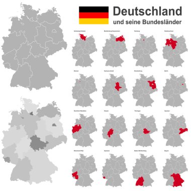
European country germany and the federal states
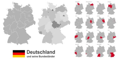
West european country germany and the federal states

A simple 3D map of Germany.

Highly detailed map of Germany with with administrative divisions(states), cities and pictogram navigation icons. The url of the reference file is : http://www.lib.utexas.edu/maps/europe/germany.jp
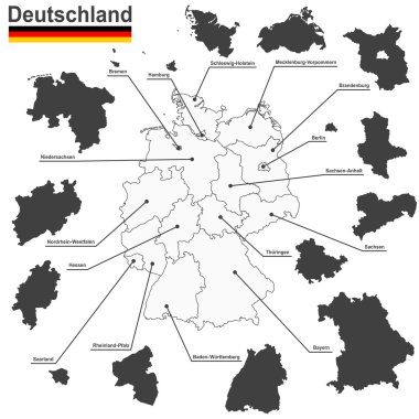
European country germany and the federal states

An abstract vector illustration of the Victory Column.
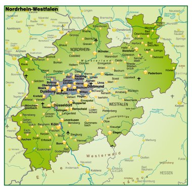
Bundesland Nordrhein Wesfalen als Umgebungskarte Uebersicht

A simple 3D map of Germany.
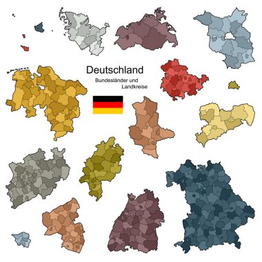
Provinces and districts of Germany
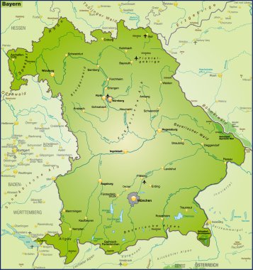
Bundesland Bayern als Umgebungskarte Uebersicht
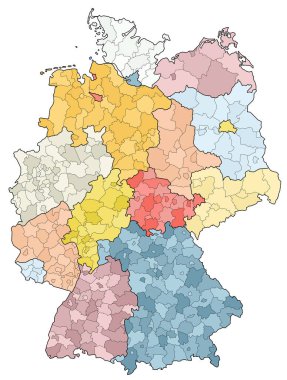
West european country germany and the federal states