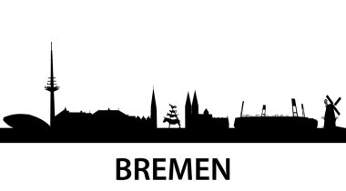
Detailed vector silhouette of Bremen, Germany

Bremen Silhouette black

Bremen skyline poster in editable vector file

Bremen Vintage poster in orange and blue textured background with skyline in white

Bremen coat of arms

Vector illustration of the bremen town musicians

Vector Silhouettes of Germany isolated

Abstract skyline of city Bremen, vector illustration

Bremen state capital city vector

Bremen landmarks and monuments isolated on blue background in editable vector file

Bremen skyline in orange background in editable vector file

Set of cartoon or children illustrations of funny Bremen Town Musicians, cat, dog, rooster and donkey, each stand on the back of another animal. From a german fairy tale

Set of cartoon or children illustrations of funny Bremen Town Musicians, cat, dog, rooster and donkey

Colorful and detailed skyline of Bremen with various landmarks of Bremen, Germany isolated

Bremen Town Musicians

This is a silhouette from the"Bremer town-musicians

Group of animals facing each other, the Bremen Town Musicians

Germany Political Map with capital Berlin, national borders, most important cities, rivers and lakes. English labeling and scaling. Illustration.
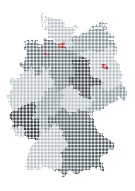
German map raster, the counties or states are grouped
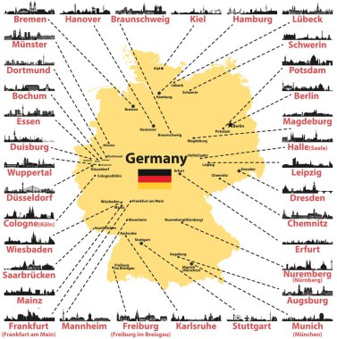
Germany vector map with states capitals and largest citites skylines silhouettes on white background

The detailed map of the Germany with regions or states and cities, capitals
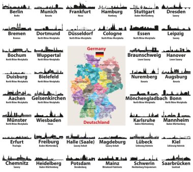
Germany map with largest cities skylines silhouettes vector set
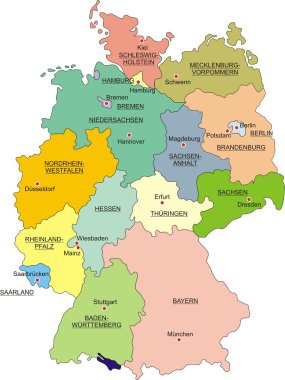
Map of Germany with national boundaries and national capitals

Map of Bremen with main cities in green

Vector outlines icons of Germany cities skylines

Large detailed road map of Germany with topographic contours, all cities, villages, water objects, mountains and airports.

City Municipality of Bremen, German town. Vector travel plate or sticker, vintage tin sign, retro vacation postcard or journey signboard, luggage tag. Germany old plaque with flag

Germany Map - Icons - detailed vector illustration

Germany map and flag - vector illustration
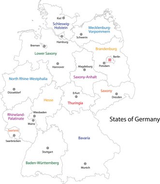
Outline Germany map with regions

Famous german architectural travel landmarks thin line symbol with tourist attractions of Munich such as National Theatre and New Town Hall, St. Peter Church and Frauenkirche Cathedral also Bonn
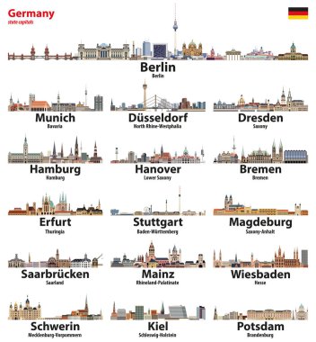
Germany state capitals cities skylines. Vector detailed illustration

Germany map, new political detailed map, separate individual regions, with state names, isolated on white background 3D vector

Highly detailed physical map of Germany,in vector format,with all the relief forms,regions and big cities.

Map of Germany and flag - highly detailed vector illustration. Image contains land contours, country and land names, city names, water objects, flag, navigation icons, roads, railways.
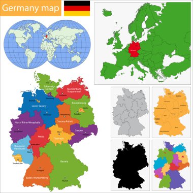
Germany map with regions and main cities

Vector illustration of Germany map and navigation icons.
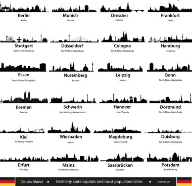
Germany cities

Germany cities skylines icons in black and white color palette vector set

Germany map - high details vector illustration

High detailed germany map collection, red marked federal states in seperated map silhouettes,
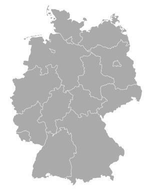
Map of Germany
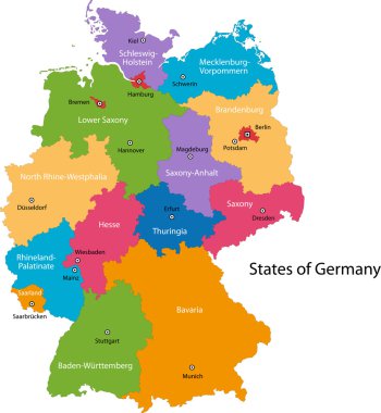
Colorful Germany map with regions and main cities
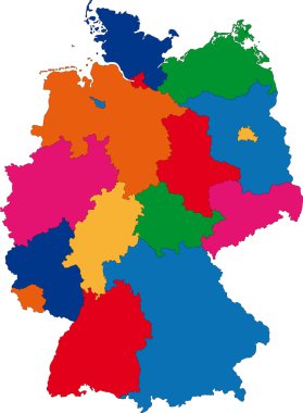
Map of administrative divisions of Germany
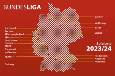
Map of cities in Germany with teams the first German football league, the Bundesliga in the 2023/24 season with German city names. Vector Illustration.

Map of Germany with its federal states. Highly detailed map of Germany with administrative divisions (states), cities and pictogram navigation icons

A detailed, colorful map of Germany with all counties and big cities.

Germany map and flag of Germany. City names - land contours. Vector illustration.

Vector illustration of the bremen town musicians

Map of Lower Saxony with main cities in green
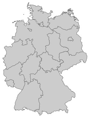
Germany Map - Provinces gray

German map with provinces and flag in the background
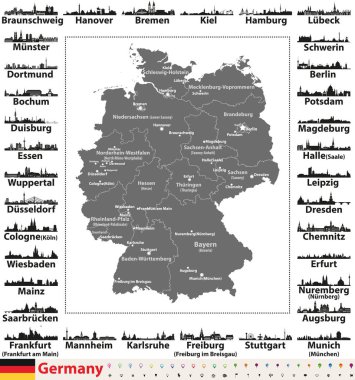
Germany map with state capitals and largest cities skylines silhouettes

Bremen state map, Germany, vector map silhouette illustration isolated on Germany map. Editable blank vector map. Province in Germany.

Germany map with state capitals cities skylines vector illustration. All layers are labelled, editable and well organized
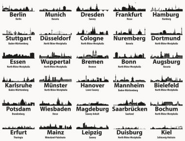
Germany largest cities skylines silhouettes vector set

Map Germany

Map of Germany - high details vector illustration

Gray Germany map with regions isolated on white background

Germany Map - Blue Orange Gray - detailed vector illustration

Germany political map divide by state colorful outline simplicity style.
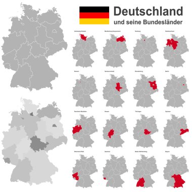
European country germany and the federal states

Handdrawn map of Germany with main symbols and lettering of main cities. Poster design or postcard illustration.

Vector detailed color Germany map

Monochrome contour map with city names

Stylized map of Germany. Travel illustration with German landmarks.

Germany Map - Color Grid - detailed vector illustration

Germany Map - White and Grid - detailed vector illustration

Old retro color map of Germany. Vector illustration.

Black and white map of Germany
West european country germany and the federal states

Stylized map of Germany. Travel illustration with German landmarks.

Germany state capitals cities skylines icons in tints of blue color palette. Vector illustration

Monochrome vector Germany map
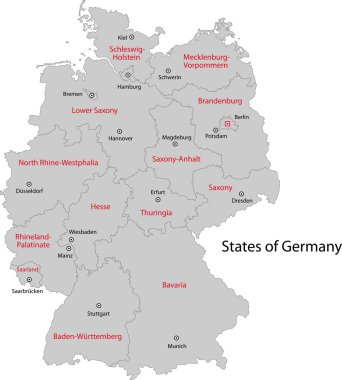
Gray Germany map with regions and main cities

Germany map and flag - vector illustration
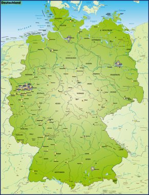
Deuschland mit Nachbarländern als Umgebungskarte Uebersicht

Vector detailed color Germany map

Germany map with flag

The detailed map of the Germany with regions or states and cities, capitals.

Germany map icon, geography blank concept, isolated graphic background vector illustration .

Germany map icon of Bavaria, geography blank concept, isolated graphic background vector illustration .

Germany Map - Blue Green Gray Isolated on White - detailed vector illustration

Highly detailed map of Germany with with administrative divisions(states), cities and pictogram navigation icons. The url of the reference file is : http://www.lib.utexas.edu/maps/europe/germany.jp

Germany largest cities skylines isolated icons vector illustration

Germany map (colored by states and administrative districts) with subdivisions

City skyline set. Germany. Vector silhouette background illustration.
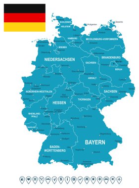
Map of Germany and flag - highly detailed vector illustration. Image contains land contours, country and land names, city names, flag, navigation icons.
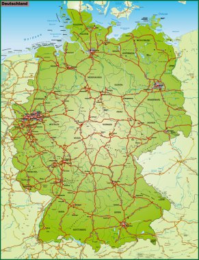
Deuschland mit Nachbarländern als Umgebungskarte in bunt

Vector color detailed map of Germany with administrative divisions of the country, each federal states is presented separately in highly detailed and divided into regions

Administrative and political vector map of Germany, newly revised 2019

Map of Germany with all Federal States

Vector illustration of Germany high detailed map with largest cities skylines icons. All layers are labelled, editable and well organized

Vector set of Germany largest cities skylines icons in tints of blue color palette. Map and flag of Germany

Highly detailed political map of Germany with administrative divisions(states), cities and navigation icons collection
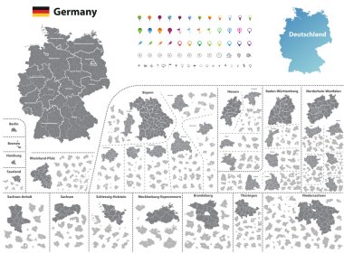
Federal states of Germany map with administrative districts and subdivisions
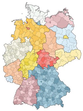
West european country germany and the federal states

Germany Map - Yellow - detailed vector illustration
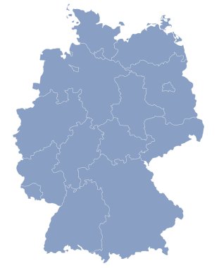
Vector map of Germany each division can be edited

Map of Germany