
Detailed vector maps of the United Kingdom regions and administrative areas in grey color

Detailed illustration of a 3D Map of Great Britain, eps10 vector
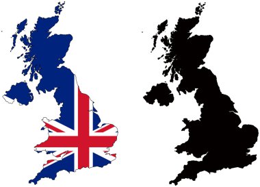
Layered editable vector illustration country map of The United Kingdom,which contains two versions, colorful country flag version and black silhouette version.
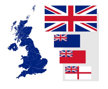
Map of the United Kingdom with rivers and four British flags - national flag, state ensign, civil ensign and naval ensign. Flags has a proper design, proportion and colors.

Layered editable vector illustration outline of Manchester,Brita

Map of United Kingdom

Map of the UK with location markers
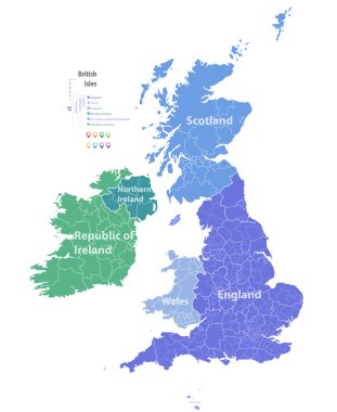
Vector map of British Isles

Vector Great Britain Pictogram isolated on white background

High detail map of Great Britain and Ireland
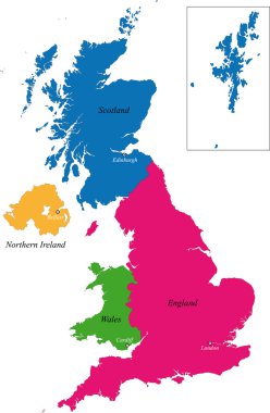
The countries of the United Kingdom and capital cities

Vectorial map of Great Britain with all counties. No gradients and blends. Every county is separate curve. Names of counties are in separate layers.

Map of Great Britain

Great Britain vector color map

Dotted Great Britain map on white
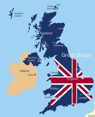
Abstract vector color map of Great Britain country coloured by national flag

Abstract icon map of United Kingdom - vector illustration
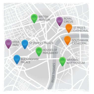
Vector eps10 illustration of London's map with pins and places

Illustration of the british isles in different shades of green isolated from the background

Vector seamless pattern on UK and London theme with British symbols, architectural landmarks and flag of the Great Britain in retro style. Suitable for wallpaper, wrapping paper, fabric, textile

Map of England flag Decorative idea design
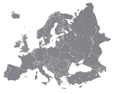
Europe vector high detailed political map with regions borders
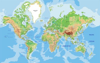
Highly detailed World map with labeling. Vector illustration.
United Kingdom, England flag, map and glossy button, vector illustration set.

Map of the United Kingdom with rivers on the British flag.

UK Great Britain Union Jack Flag in Map Silhouette Illustration

Map and flag of United Kingdom

Map of Great Britain - 3D illustration.

UK map cover vector
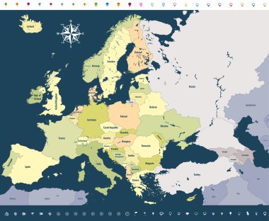
Vector Europe high detailed political map with location icons on soft dark blue background.

Vector illustration round flags of UK, England, Scotland, Wales and Northern Ireland. Black silhouette of uk map. England map. United Kingdom of Great Britain. Uk map counties

England travel background. Brochure with Great Britain map, Big Ben, Tower Bridge label or logo and place for text. London symbols for your design. Geometric design. Vector illustration.

UK, Great Britain Border Map with Flag colors, dotted creative design

Vector illustration of Great Britain map and navigation icons.

Vector grunge retro design - Great Britain map on flag background

United Kingdom of Great Britain map silhouette illustration on the white background. Vector illustration

Highly Detailed United Kingdom Silhouette map.

Hex-tile Great Britain map. Vector territorial plan on a black background. Abstract Great Britain map composition is created of hex-tile items.

Map of United Kingdom

Dot vector abstract Great Britain map and isolated clean black, grunge red, blue, green stamp seals. Great Britain map name inside draft framed rectangles and with distress rubber texture.
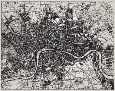
Historical map of London, England.
The island of Great Britain in the flag
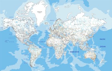
Highly detailed World road map with labeling. Vector illustration.

Cartoon map of Ireland. Travel illustration with irish landmarks, buildings, food and plants. Funny tourist infographics. National symbols. Famous attractions. Vector illustration

Vector city map of London, UK

Map of United Kingdom, Great Britain, England template vector illustration. Icons with British travel destinations. Explore UK concept image

Union Jack in the outline of United Kingdom. Flag in red, blue and white colors. Royal Union Flag with the shape of the country with British Isles. Isolated. Illustration on white background. Vector.
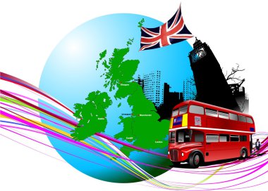
England images. Vector illustration

Flag of Great Britain card template, vector illustration on bright background and copy space, banner, placard,poster for design

Green map of the United Kingdom

Set of vector icons with United Kingdom flag

Flag of Great Britain card template, vector illustration on bright background and copy space, banner, placard,poster for design

Illustration map of Britain and Ireland's with landscape. Vector illustration

Grey map of the world with indication of United Kingdom

Set of vector flat design Great Britain and Germany travel banners, headers with icons and infographics elements with landmarks and famous French and American symbols

London, United Kingdom flat icons on blue background

Highly detailed World map with labeling. Vector illustration.

The Great Britain map in gray on a transparent background

London and its environs, during the 1890s, vintage engraving. Old engraved illustration of London map with its environs.

The detailed map of the United Kingdom with regions or states. Actual current relevant UK, Great Britain administrative devision.

Vector city map of London with well organized separated layers.

Map of the United Kingdom of Great Britain and Northern Ireland

England map icon vector illustration symbol design
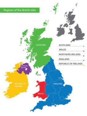
Color detailed map of the regions and countries of the British Isles for your design

United Kingdom Blank Physical Map isolated on white. Vector illustration.

United Kingdom Blank Map with water objects. Vector illustration.
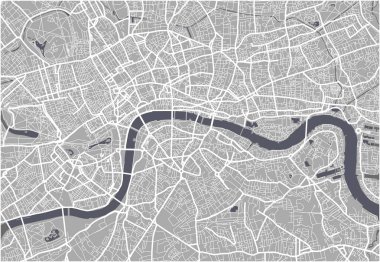
Vector map of the city of London, Great Britain

Map United Kingdom. Poster map of contries of the United Kingdom. Black and white print map of United Kingdom for t-shirt, poster, print. Hand-drawn graphic map with countries. Vector Illustration

Dotted stylized silhouette map of Ireland island together with Northern Ireland. Vector illustration

Liverpool map location - city marked in United Kingdom (UK map). Vector illustration.

Hex-tile Great Britain map. Vector halftone territorial scheme on a white background. Abstract Great Britain map collage is designed of hexagon cells.
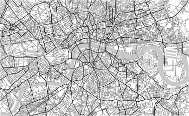
Vector map of the city of London, Great Britain

United Kingdom Political Map with roads and water objects. Vector illustration.

High detailed United Kingdom physical map with labeling.
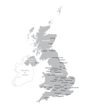
UNITED KINGDOM MAP with big cities, UK MAP with borders on grey background.

Political map of United Kingdom with capital London, national borders, most important cities, rivers and lakes. Vector illustration with English labeling and scaling.

Simple outline map of United Kingdom with capital location. Stylized minimal line design

United Kingdom of Great Britain and Northern Ireland, UK - solid black outline border map of country area. Simple flat vector illustration.

Colorful United Kingdom political map with clearly labeled, separated layers. Vector illustration.
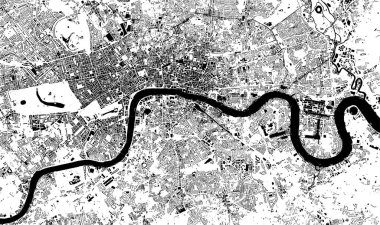
Vector map of the city of London, Great Britain

High quality map of United Kingdom with borders of the regions on white background
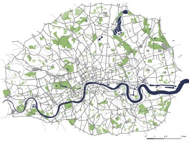
Vector map of the city of London, Great Britain

Black and white printable London city map, poster design, vector illistration.

Map United Kingdom. Poster map of areas of the United Kingdom. Black and white print map of United Kingdom for t-shirt, poster, print. Hand-drawn graphic map with areas. Vector Illustration

Administrative and political map of inner London, Statutory definition

3d United Kingdom white map with regions isolated on white background
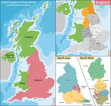
Map of the subdivisions of England with the North East and the North West

Vector detailed United Kingdom map

This image is a vector illustration and can be scaled to any size without loss of resolution.
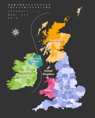
British Isles map colored by countries. Vector

This is a smple map of Britain.
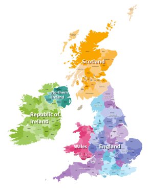
British Isles map colored by countries and regions

United Kingdom blueprint map template with capital city. London marked on blueprint British map. Vector illustration.

Blue-gray detailed map of United Kingdom and administrative divisions and location on the globe. Vector illustration

London vector map ultra detailed editable

Black and white map of the UK and Ireland

Travel poster, urban street plan city map London and Birmingham, vector illustration
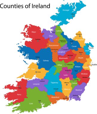
Colorful Republic of Ireland map with regions and main cities

Administrative divisions of the United Kingdom

Folded paper map of United Kingdom with flag pin of UK. Vector Illustration