
Energy industry and ecology of Bulgaria vector map with power stations infographic.
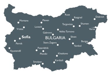
Monochrome vector Bulgaria map
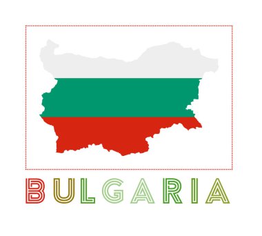
Bulgaria Logo. Map of Bulgaria with country name and flag. Powerful vector illustration.

Bulgaria map with borders, cities, capital and administrative divisions. Infographic vector map. Editable layers clearly labeled.

Turkey detailed administrative map with separated layers.
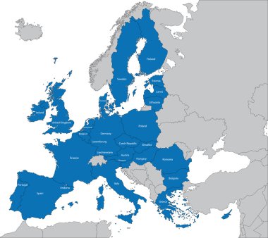
The 27 Member State of the European Union
Abstract europe vector map on white

Europa-highly detailed map. Vector illustration
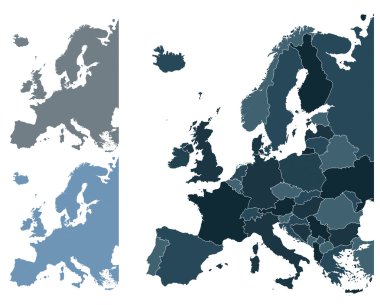
Set of Europe vector highly detailed maps

Political map of Bulgaria with the capital Sofia, national borders, most important cities, rivers and lakes. Vector illustration with english labeling and scale.

Bulgaria map with flag

Europe map cover vector

Vector set of Bulgaria country. Isometric 3d map, Bulgaria map, Europe map - with region, state names and city names.

28 NATO member countries highlighted by blue in blank world political map

Abstract mash line and point scales on dark background with Map of bulgaria. Wire frame 3D mesh polygonal network line, design sphere, dot and structure. communications map of bulgaria. Vector illustration.

Bulgaria vector map with infographic elements, pointer marks. Editable template with regions, cities and capital Sofia.

Central and East Europe vector map

Political map of Europe in four shades of blue on white background. Vector illustration.

Political map of Europe in four shades of orange on white background. Vector illustration.

Creative Abstract Decor Design of Vector Map Design

Bulgaria vector map. Editable template with regions, cities, red pins and blue surface on white background.

Map of Bulgaria - vector illustration

Mosaic Bulgaria flag set

Vector map of european countries with a red hot thermometer

Shiny icon in form of Bulgaria - vector illustration

Vector map of Bulgaria | Outline detailed map with city names

Detailed vector map of European Union and European countries

Bulgaria 3d map with flag vector illustration.

3D Map of Bulgaria. Vector - Bulgaria Flag Glossy Button

Abstract stamp with text Original Product of Bulgaria, vector illustration

Bulgaria map with shadow effect

Vector map of Bulgaria . High detailed country map with division, cities and capital Sofia. Political map, world map, infographic elements.

European Union. Vector Europe map with European union flag. Blue background and yellow stars

The of a Flag of Indonesia

Detailed map of Europe

Illustrated map of Bulgaria. Famous landmarks temple, cathedral, rose , rakia and monument Shipka.

Map of Bulgaria as an overview map in pastel orange

Travel Bulgaria Symbol - vector illustration
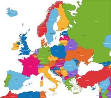
Colorful Europe map with countries and capital cities

Map of Bulgaria, black map on a transparent background. alpha channel transparency simulation in png. vector illustration

Highly detailed physical map of the Bulgaria, in vector format,with all the relief forms,regions and big cities.

Network map of Bulgaria. Country digital connections map. Technology, internet, network, telecommunication concept. Vector illustration.

Illustrated doodle map of Bulgaria. Famous landmarks temple, cathedral, rose, rakia and monument Shipka. Hand drawn black lines. Vector colored educational illustration
Bulgaria flag on button
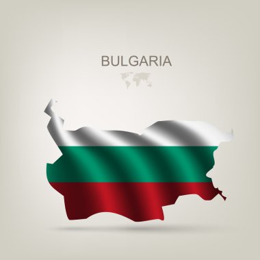
Flag of Bulgaria as a country with a shadow

Map and Flag of Bulgaria Vector Design Template with Editable Stroke

Bulgaria communication network map. Vector low poly image of a global map with lights in the form of cities in or population density consisting of points and shapes in the form of stars and space.

Printable map of Stara Zagora, Bulgaria with main and secondary roads and larger railways. This map is carefully designed for routing and placing individual data.

Map of Bulgaria for your design, concept Illustration

Pen hand drawn Europe map vector on paper illustration

Typography map silhouette of Bulgaria in black and flag colors. Vector Illustration.

World map illustration, vector, Bulgaria
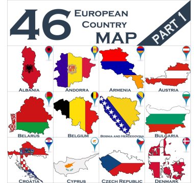
European country set with map pointers

Wave line flag of Bulgaria

Map of Bulgaria as an overview map in green

Old retro color map of Turkey with separated layers.

Political map of Balkans - States of Balkan Peninsula. Simple flat black outline with black country name labels.

Ukraine map with individual regions and capital city, with individual neighboring states with names, classic color map vector

Turkey vintage color map with separated layers.

Turkey detailed administrative map and flat icon set with separated layers.

Political map of Balkans - States of Balkan Peninsula. Colorful vector illustration.

Black Sea map with surrounding countries and names
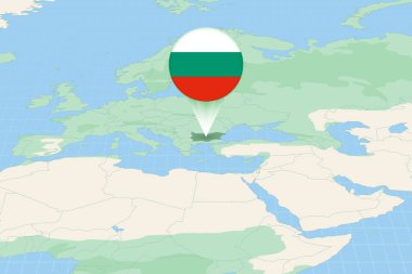
Map illustration of Bulgaria with the flag. Cartographic illustration of Bulgaria and neighboring countries.
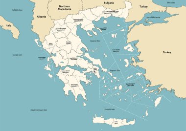
Greece provinces and regions vector map with neighbouring countries and territories

Map of the Ukraine in the colors of the flag with individual regions and capital city, with neighboring states with names vector
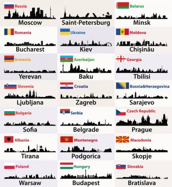
Vector silhouettes of East European cities skylines with countries flags
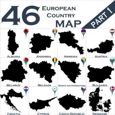
European country set with map pointers
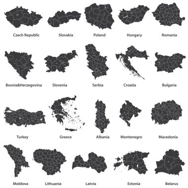
Vector maps of european countries

Abstract vector color map of Greece country coloured by national flag

Blue-gray detailed map of Turkey and administrative divisions and location on the globe. Vector illustration

Vector map of the Southeast European country of Bulgaria

Blue-gray detailed map of Macedonia administrative divisions and location on the globe. Vector illustration

Greece detailed administrative blue map with country flag and location on the world map. Vector illustration

Map of European Countries in blue and grey tones
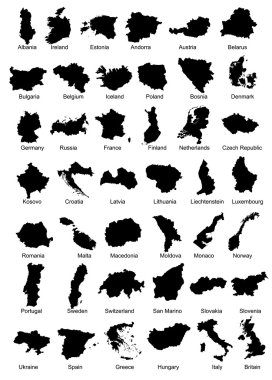
Layered vector illustration of 42 Europe Country Maps.

Greece administrative blue-green map with country flag and location on a globe. Vector illustration

High detailed vector political Europe map with capitals, cities, towns, rivers and lakes.
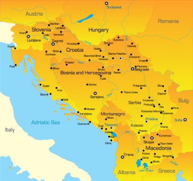
Vector color map of Balkan region

Boundary of Schengen Area, Europe with countries silhouettes. Eps file contains separate layers

Large and detailed maps of all bulgarian administrative divisons, regions and oblasts.
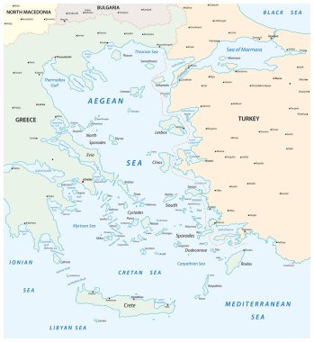
Map of the Aegean Sea, part of the Mediterranean between Greece and Turkey

Black Sea region, gray political map. Marginal mediterranean sea of the Atlantic Ocean, between Europe and Asia. With Crimea, Sea of Azov, Sea of Marmara, Bosporus, Dardanelles and the Kerch Strait.
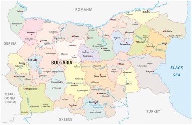
Bulgaria vector map with major cities and rivers
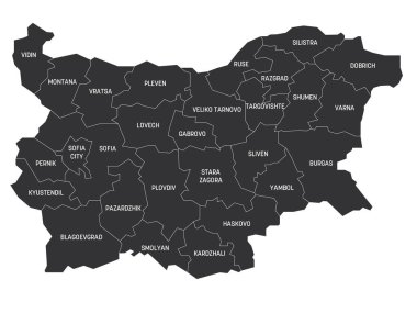
Grey political map of Bulgaria. Administrative divisions - provinces. Simple flat vector map with labels.

Political map of Balkans - States of Balkan Peninsula. Four shades of grey vector illustration.

European political map set with map pointers

Vector detailed color Bulgaria map
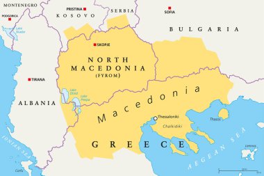
Macedonia region, political map. Region of the Balkan Peninsula in Southeast Europe. Part of Greece, North Macedonia, Bulgaria, Albania, Kosovo and Serbia. English labeling. Illustration. Vector.

Monochrome contour map with city names

Vector illustration of a map of Europe with highlighted Bulgaria and Bulgarian flag isolated on a white background

Map of Bulgaria as an infographic in green
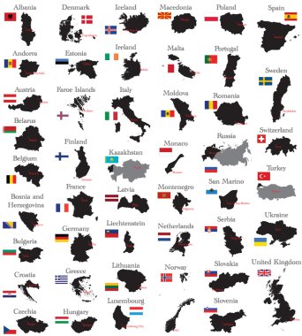
Countries of Europe
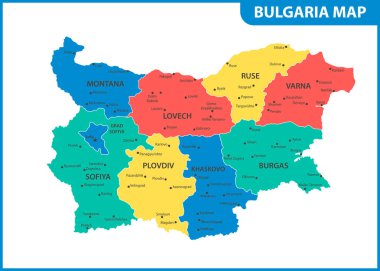
The detailed map of Bulgaria with regions or states and cities, capital. Administrative division
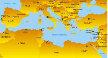
Vector color map of Mediterranean region countries

Simple black maps all european union countries stickers collection eps10

Map of administrative divisions of Bulgaria

Geographical region of Macedonia, political map. Region of the Balkan Peninsula in Southeast Europe, part of Greece, North Macedonia, Bulgaria, Albania, Kosovo and Serbia. Illustration. Vector.

Outline Europe map with countries
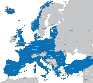
Members of NATO in Europe

Trkiye, Turkey political map with capital Ankara. Republic of Trkiye. The UN agreed to the request, that they use the name Trkiye instead of Turkey, for a better representing of the Turkish nation.