
Calabria map with map pointer

Silhouettes of european country Italia and the regions
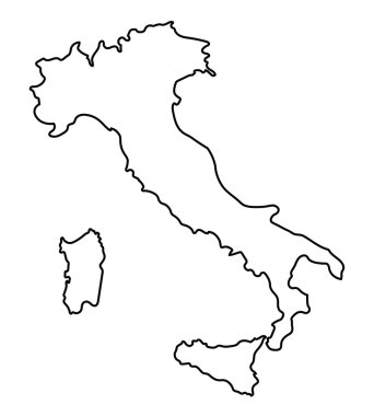
Black abstract outline of Italy map
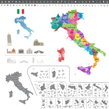
Vector Italy map colored by regions

Map of Italy with borders in blue

Calabria blank outline map set

Calabria blank detailed outline map set

Calabria, Campania, Emilia-Romagna, Friuli-Venezia Giulia outline maps

Calabria region blank outline map set
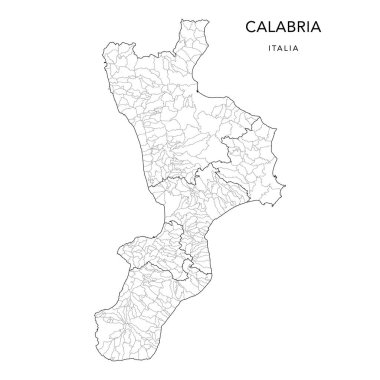
Vector Map of the Geopolitical Subdivisions of the Region of Calabria with Provinces and Municipalities (Comuni) as of 2022 - Italy

Accurate map of Calabria

The Calabria region dark silhouette map isolated on white background, Italy

Calabria (Autonomous region of Italy, Bruttium) map vector illustration, scribble sketch Calabria map
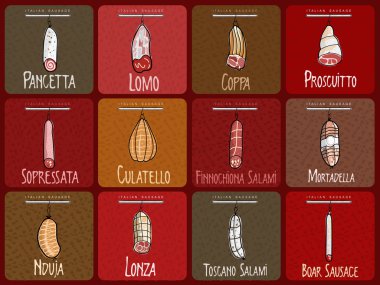
Vector illustration of the famous sausages from different regions of Italy
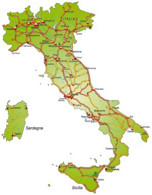
Map of Italy with highways

Italy map, administrative division with names, blue white card paper 3D vector

Vector illustrated map of Italy with regions and administrative divisions, and neighbouring countries and territories. Editable and clearly labeled layers.

Vector blank map of Italy with regions and administrative divisions. Editable and clearly labeled layers.
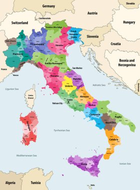
Italy provinces colored by regions vector map with neighbouring countries and territories

Italy map in flag colors with neighboring states, administrative division and names with cities, blue background vector

Italy outline map vector

Map of Italy with highways in pastel orange

Map of Italy
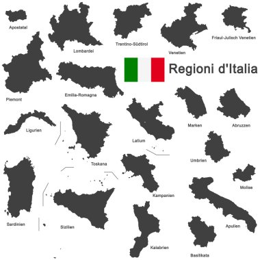
Silhouettes of european country Italia and the regions

Southern Italy, known as Meridione or Mezzogiorno, political map. Macroregion of Italy consisting of its southern regions Abruzzo, Apulia, Basilicata, Calabria, Campania, Molise, Sardinia, and Sicily.

Silhouettes of european country Italy and the regions
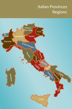
Map of Italy with provinces and regions name in italian

Map of Italy with highways in pastel green

The Italian Republic is a unitary parliamentary republic in south-central Europe

Silhouettes of european country Italy and the regions

The detailed map of the Italy with regions or states and cities, capital

Italy map of regions and provinces names in sketch lettering. Vector Italian flag of Sicily peninsula, Sardinia island or Venice Piemonte, Lombardia or Genoa and Alto Adige, Trentino and Toscana

High quality colorful labeled map of Italy with borders of the regions
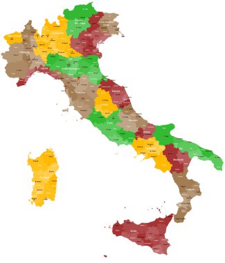
A detailed, colorful map of Italy with all provinces and big cities.

Map of Italy

Map of Italy

Vector map of Italy with regions and administrative divisions. Editable and clearly labeled layers.

Vector blank map of Italy with regions and administrative divisions. Editable and clearly labeled layers.

Blank map of Italy divided into 20 administrative regions.

Illustration of Calabria is a region in Southern Italy

Italy map, administrative division with names, colors map isolated on white background vector
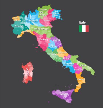
Vector Italy provinces map colored by regions. All layers detachable and labeled.

Vector map of the southern Italian region of Calabria in Italian language
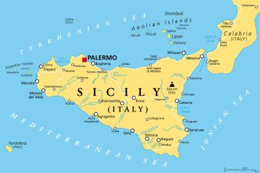
Sicily, autonomous region of Italy, political map, with capital Palermo, Aeolian and Aegadian Islands, volcano Etna, and important cities. Largest island in the Mediterranean Sea. Illustration. Vector

The detailed map of the Italy with regions

Colorful map of Italy vector silhouette illustration isolated on white background. Autonomous communities of Italy. Detailed Italian regions administrative divisions, separated provinces. outline map.

Set Flags of the states of Italy, All Italian regions flag collection

The Calabria region map divided in provinces with labels, Italy

Highly detailed physical map of Italy,in vector format,with all the relief forms,regions and big cities.

Vintage italy map with regions inscription sardinia, sicily, lazio, tuscany, liguria, marche, abruzzo, calabria, puglia, veneto trentino lombardy marche drawing on dirty paper

Detailed illustration of a 3D Map of Italy, eps10 vector
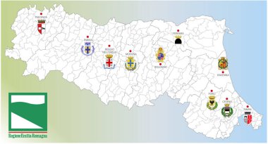
Emilia Romagna region, Italy, map of the region with borders, cities and coats of arms of the provincial capitals, vector illustration

Vintage italy map with regions inscription sardinia, sicily, lazio, tuscany, liguria, marche, abruzzo, calabria, puglia, veneto, trentino lombardy marche drawing with chalk on blue background

A large administrative map of Italy with all provinces and communes.

Coat of arms of the state of Italy, All Italian regions emblem collection

Map of Italy

Vintage italy map with regions inscription sardinia, sicily, lazio, tuscany, liguria, marche, abruzzo, calabria, puglia, veneto trentino lombardy marche drawing on craft background

Satellite map of Province of Crotone towns and roads, buildings and connecting roads of surrounding areas. Calabria region, Italy. Map roads, ring roads

Accurate map of Calabria

Abstract Calabria region map isolated on a white background. Triangular mesh model in black color of Calabria region map. Polygonal geographic scheme designed for political illustrations.

Map of Italy where Reggio Calabria province is pulled out, isolated on white backgroun

Vintage italy map with regions inscription sardinia, sicily, lazio, tuscany, liguria, marche, abruzzo, calabria, puglia, veneto, trentino lombardy marche drawing with chalk on chalkboard background

Satellite map of Province of Catanzaro towns and roads, buildings and connecting roads of surrounding areas. Calabria region, Italy. Map roads, ring roads

Map of Italy

Map of Italy

Map of Italy

Map of Italia. hand drawn illustration. 20 regions.

Italy map administrative division separates regions and names individual region, card paper 3D natural vector

Map of Italy with regions and their capitals

Silhouettes of european country Italy and the regions

Vintage italy map with regions inscription sardinia, sicily, lazio, tuscany, liguria, marche, abruzzo, calabria, puglia, veneto trentino lombardy marche drawing on yellow paper

3d map of Kamchatka Krai is a region of Russia

Satellite map of Province of Reggio Calabria towns and roads, buildings and connecting roads of surrounding areas. Calabria region, Italy. Map roads, ring roads

Map of Italy

Silhouettes of european country Italy and the regions

Map of Italy

Map of Italy

Map of Italy

Grey map of Italy

White map of Italy on black background
Map of Italy

Map of Italy

3d map of Astrakhan Oblast is a region of Russia

3d map of Kalmykia is a region of Russia

3d map of Krasnodar Krai is a region of Russia

Vector map of Italy province gray color
Map of Italy

Low Poly Italy Map with National Colors - Infographic - Vector Illustration

Map of Italy with highways in pastel orange

3d map of Krasnodar Krai and Adygea is a regions of Russia

3d map of Kemerovo Oblast is a region of Russia

Map of Italy

Map of Italy with borders in gray

3d map of Moscow is a region of Russia

3d isometric map of Aisne is a department in France, vector illustration

3d map of Tatarstan is a region of Russia
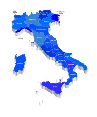
Vector map of Italy

Map of Italy with highways in pastel green

Map of Italy

Black map of Italy