
New In France rubber stamp. Grunge design with dust scratches. Effects can be easily removed for a clean, crisp look. Color is easily changed.

Illustration of Channel Tunnel Le tunnel sous la Manche

Vector illustration of Calais town hall, France with pedestrians.
New In France rubber stamp. Grunge design with dust scratches. Effects can be easily removed for a clean, crisp look. Color is easily changed.

Calais city in France. City square, city hall and lighthouse vintage engraving. Old engraved illustration of a city scen in Calais, 1890.

Nord - Pas de Calais, France, french regional license plate template, detail of the side label of the department, vector illustration, example of numbering
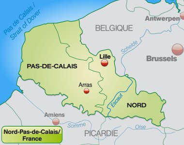
Map of North-pas-de-calais with borders in pastel green

Highly detailed vector map of France with main regions,cities,roads and neighbour countries.

High detailed France physical map.

Flag of Saint-Omer is a commune in France. Vector illustration

Calais landmarks and monuments isolated on blue background in editable vector file

High detailed France physical map.

Norf Pas de Calais regional flag, France, vector illustration

English Channel, gray political map. British Channel, arm of Atlantic Ocean, separates Southern England from northern France, link to North Sea by Strait of Dover. Busiest shipping area in the world.
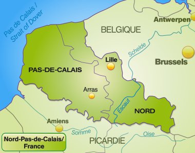
Map of North-pas-de-calais with borders in green
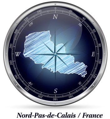
Map of North-pas-de-calais with borders in chrome
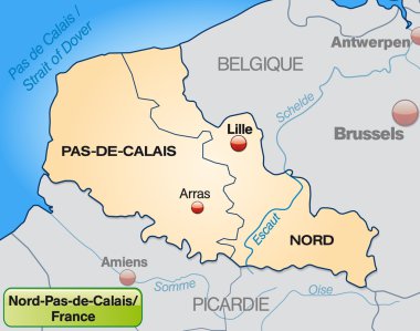
Map of North-pas-de-calais with borders in pastel orange

Map of France with regions and counties. Vector illustration.
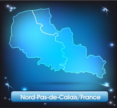
Map of North-pas-de-calais with borders with bright colors
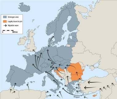
Migration crisis in Europe. Migration waves going through Schengen Area. Data source EUROPOL, 2016. Background for your infographics.

France famous travel landmark buildings and Marseilles architecture sightseeing facades icons. Vector set or Notre Dame de Treille in Lille and Calais lighthouse, Porte de Paris and Nancy town hall
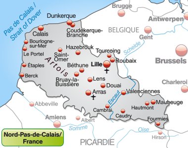
Map of North-pas-de-calais as an overview map in gray

Vector illustration of Le Touquet Paris-Plage city entrance road sign on metallic pole

High detailed France physical map with labeling.

High detailed France road map with labeling.
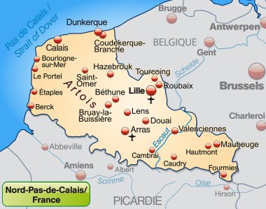
Map of North-pas-de-calais as an overview map in pastel orange

Calais skyline poster in editable vector file

Calais skyline pop in editable vector file

Detailed France physical map.
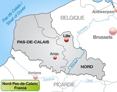
Map of North-pas-de-calais with borders in gray

High detailed France physical map with labeling.

English Channel political map. Also British Channel. Arm of Atlantic Ocean separates Southern England from northern France and link to North Sea by Strait of Dover. Busiest shipping area in the world.