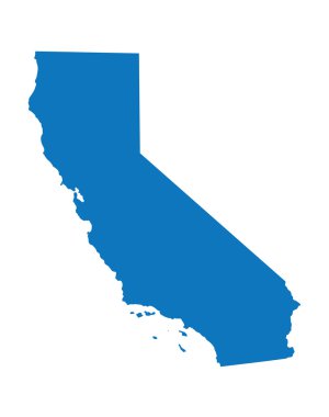
Blue map of California

California blank outline map set

California and Colorado travel stickers with scenic attractions and retro text on vintage suitcase background
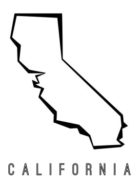
California map outline - US state shape sharp polygonal geometric style vector.

Orange map of California

Outline Political US Map with titles of the states. All USA regions are separated and named in a layer panel

Map of The United States of America (USA) Divided States Maps Outline Illustration on White Background
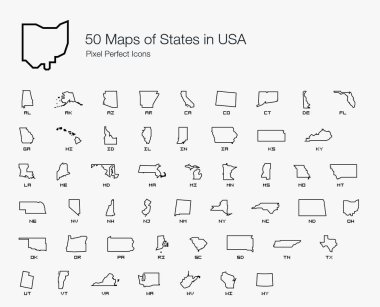
All 50 USA States Map Pixel Perfect Icons (Line Style). Vector icons of the complete United States of America states map.

Map of United States of America, USA, with state postal abbreviations. Simple black outline map.
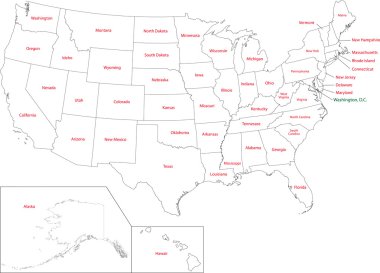
Outline USA map with states

California state icon map set

Map of the State of California in gray on a white background
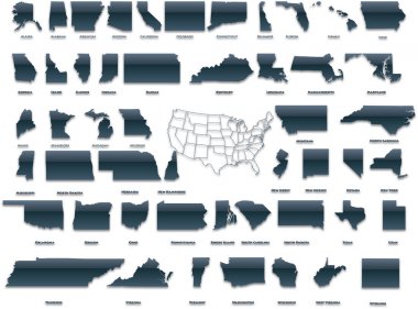
United States of America set in a nice plastic version.

Black outline of USA map
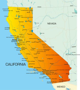
Vector color map of California state of usa

Sacramento California USA City Map in Retro Style. Outline Map. Vector Illustration.

Transparent - High Detailed Grey Map of United States of America. Vector Eps 10.

United States of America set in a nice glossy version.

USA blind map navigation set and travel icons.

Usa vector map isolated on whire back

California line art map- red, blue and white on black background
Baja California Sur blank outline map set

Map of the U.S. state of California, vector illustration

Riverside County, California blank outline map set
Orange County, California blank outline map set

Baja California Sur blank outline map set

San Diego County, California blank outline map set
Sonoma County, California blank outline map set
Baja California blank outline map set

Baja California state blank vector outline map set

Placer County, California blank outline map set

Red California. Vector illustration

Napa County, California blank outline map set

Baja California state blank contour map

California State Map Retro Typography Vintage Vector t-shirt Design

Baja California Sur state blank outline map set

Baja California Sur state blank contour map

Set of 3D images of the State of California with location icons.
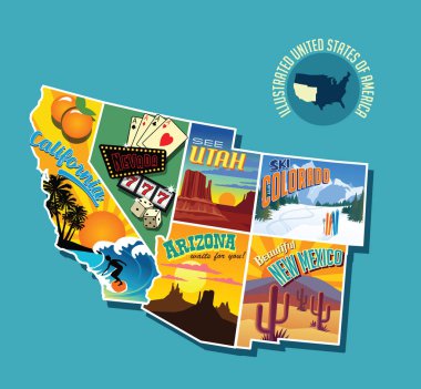
Illustrated pictorial map of southwest United States. Includes California, Nevada, Utah, Arizona, New Mexico and Colorado. Vector Illustration.

California state counties map with boundaries and names. Eps file contains separate layers
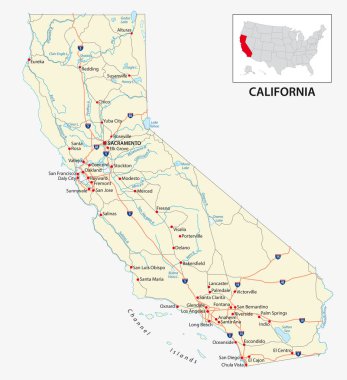
Road map of the US American State of California.

Empty vector map of Shreveport, Louisiana, USA, printable road map created in classic web colors for infographic backgrounds.

Black and white map of California

Detailed illustration of a map of California with flag, eps10 vector

Baja California Sur (United Mexican States, Mexico, federal republic) map vector illustration, scribble sketch Estado Libre y Soberano de Baja California Sur (El Territorio Sur de Baja California) map

Map of california. map concept

Green polygonal vector map of California
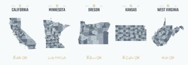
Vector set 7 of 10 Highly detailed silhouettes of US state maps, divided into counties with names and territory nicknames

Empty vector map of Shreveport, Louisiana, USA, printable road map created in classic web colors for infographic backgrounds.
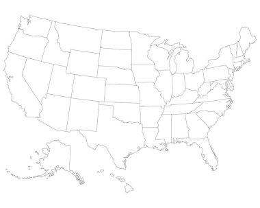
USA map. Very high accurate drawing. Alaska, Hawaii, USA Vector eps10

San Francisco colored vector map
USA Map Silhouette on white background
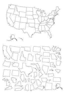
Detailed map of Usa

Los Angeles colored vector map

Los Angeles Vector Map, Artprint. Black Landmass, White Water and Roads.
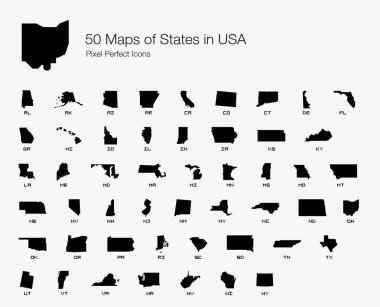
All 50 USA States Map Pixel Perfect Icons (Filled Style). Vector icons of the complete United States of America states map.

USA vector linear map. Thin line United States map.

USA map. Very high accurate drawing. USA vector eps10.

United States and Mexico political map of administrative divisions. Blank black outline vector map

United States of America map. USA Map With Divided States. Outline US map.

Map of The United States of America USA with territories and Islands. Different map variations for your design. Stock Vector illustration isolatedon white background

San Francisco city plan, detailed vector map

Empty vector map of Shreveport, Louisiana, USA, printable road map created in classic web colors for infographic backgrounds.

California map flag and Map pointer with American flag vector illustration.

USA map. American map. United States of America map in flat and lines design eps 10
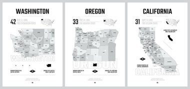
Highly detailed vector silhouettes of US state maps, Division United States into counties, political and geographic subdivisions of a states, Pacific - Washington, Oregon, California - set 16 of 17
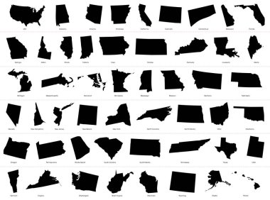
The United States of America (USA), commonly known as the United States (U.S.) or America, is a federal republic composed of 50 states, a federal district, five major self-governing territories, and various possessions. At 3.8 million square miles (9

A gray map of California counties isolated on white background

Vector map USA. Isolated vector Illustration. Black on White background. EPS 10 Illustration.

High detailed map of USA with states borders

Los Angeles city silhouette skyline. USA - Los Angeles city vector city, american linear architecture, buildings. Los Angeles city line travel illustration, landmarks. USA flat icon, american outline

Los Angeles, California (USA) vector map

United States of America map. USA map. Flat black and white vector illustration. American map for poster, banner, t-shirt. Design USA cartography map.

Outline maps of USA states collection, black lined vector map.

California state of United States of America, USA. Simplified thick black outline map. Simple flat vector illustration

Texas map icon in two styles isolated on white background. Vector illustration

Political map of United States od America, USA. Simple flat black outline vector map with black state name labels on white background.
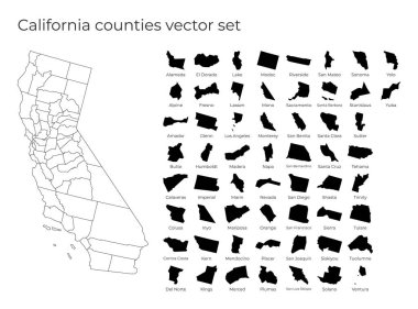
California map with shapes of regions. Blank vector map of the Us State with counties. Borders of the us state for your infographic. Vector illustration.

USA map vector isolated on white background. Cartography symbol modern, simple, vector, icon for website design, mobile app, ui. Vector Illustration

A black and white map of the United States

United states map. High detailed USA map. Linear icon. Transparent background. Vector isolated elements. Usa map icon line symbol. EPS 10
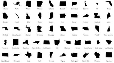
Vector illustrations of all fifty states of the united states of america with the names of each state written below

Gray vector map of the Federal State of California, USA with white borders of its counties

Isolated vector Illustration. Black on White background. EPS 10 Illustration

Political map of United States od America, USA. Simple flat black outline vector map with black state name labels on white background.
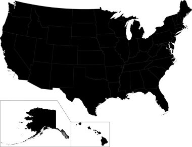
Black map of the United States of America with state borders

USA map. Very high accurate drawing. USA vector eps10.

High detailed California physical map.

Outline map of California white background. Vector map with contour.

Baja California Sur (United Mexican States, Mexico, federal republic) map vector illustration, scribble sketch Estado Libre y Soberano de Baja California Sur (El Territorio Sur de Baja California) map

Fresno County (California) blank outline map set

High Quality map of Baja California Sur is a state of Mexico, with borders of the municipalities

High detailed California physical map with labeling.
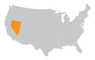
USA map with the indication of State of Nevada

Blank similar high detailed USA map isolated on gray background. United States of America country with state borders. Vector template info graphics. Graphics closeup illustration.

USA map. Flat style - stock vector.
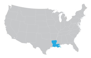
USA map with the indication of the State of Louisiana

State map. USA silhouette in flat style. Vector isolated outline illusrtation

Vector map of United States of America with Alaska and Hawaii
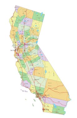
California - Highly detailed editable political map with labeling.