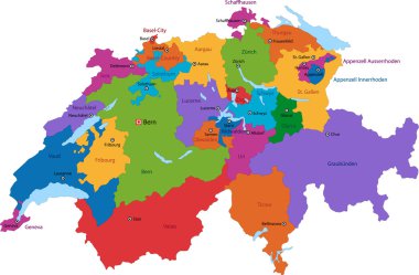
Colorful Switzerland map with states and main cities
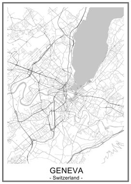
Vector map of the city of Geneva, Switzerland
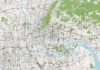
Vector map of the city of Guangzhou, Canton, Kwangchow, Peoples Republic of China
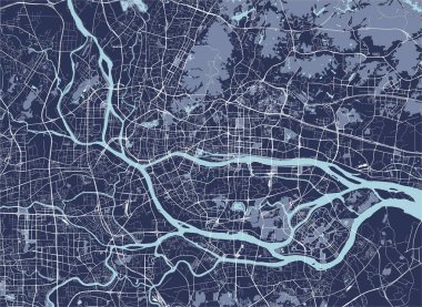
Vector map of the city of Guangzhou, Canton, Kwangchow, People's Republic of China
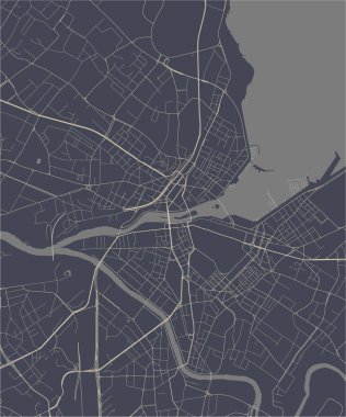
Vector map of the city of Geneva, Switzerland

Cleveland (Wisconsin) blank outline map

Eaton (Ohio) blank outline map

Wentworth (North Carolina) blank outline map

Amherst (Virginia) blank outline map

Wright (Wyoming) blank outline map

Canton (Texas) blank outline map

Solothurn canton blank outline map set

West Canton (North Carolina) blank outline map

Vaud canton blank outline map set

Cleveland (Texas) blank outline map

Aargau canton blank outline map set

Valais canton blank outline map set

Glarus canton blank outline map set

Dundee (Scotland) blank outline map set

Newport (New Hampshire) blank outline map

Bristol (Wisconsin) blank outline map

Cleveland (Oklahoma) blank outline map

Bern canton blank outline map set

Ticino canton blank outline map set

Canton (North Carolina) blank outline map

Thurgau canton blank outline map set

Lucerne canton blank outline map set
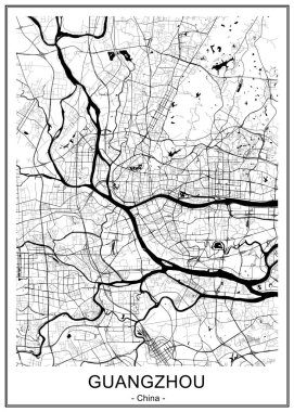
Vector map of the city of Guangzhou, Canton, Kwangchow, People's Republic of China
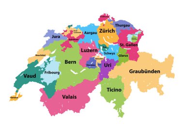
Vector map of Switzerland colored by cantons

Vector map of the Swiss canton of Ticino with the most important cities

Map of Switzerland with flag of Schwyz

Essex map, ceremonial county of England. Vector illustration.

Map of Grisons in Switzerland

Pardubice region administrative unit of the Czech Republic. Vector illustration.
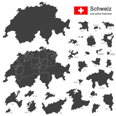
Silhouettes of country Switzerland and all cantons

Map of Greece with administrative regions. Vector illustration.

South Bohemian region administrative unit of the Czech Republic. Vector illustration.

Switzerland - Highly detailed, editable political map with labeling.

Map of Switzerland

Printable map of Zenica, Bosnia and Herzegovina with main and secondary roads and larger railways. This map is carefully designed for routing and placing individual data.
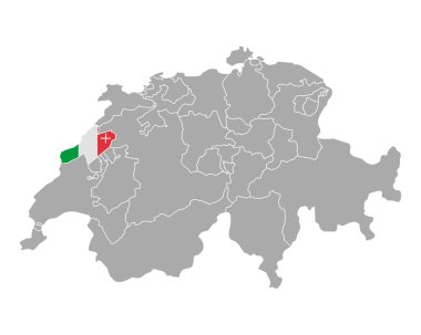
Map of Switzerland with flag of Neuchatel
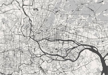
Vector map of the city of Guangzhou, Canton, Kwangchow, People's Republic of China
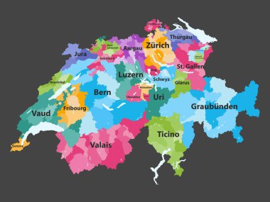
Switzerland vector map colored by cantons with districts boundaries

West Midlands map, ceremonial county of England. Vector illustration.
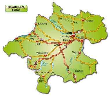
Map of upper Austria with highways

Silhouette contour border map of the Switzerland isolated on white background

Grey map of Greece with administrative regions. Vector illustration.
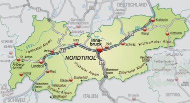
Map of tyrol with highways in pastel green

Detailed map of Switzerland with administrative divisions into regions and Cantons, major cities of the country, vector illustration onwhite background

Gray Switzerland map with states and main cities

White Region (Oblast) Map of European Country of Ukraine

Gray Map of Districts of Northern Ireland, United Kingdom

Colorful Switzerland map with states

Wales map with districts. Vector illustration.
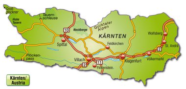
Map of kaernten with highways

Administrative and political vector map of switzerland

South Moravian region administrative unit of the Czech Republic. Vector illustration.
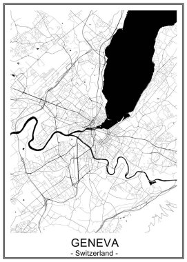
Vector map of the city of Geneva, Switzerland

Map of Switzerland icon vector illustration symbol design

Administrative and political vector map Grand Duchy of Luxembourg

Gray Ceremonial Counties Map of European Country of England

A large and detailed map of the State of Ohio with all counties and county seats.

Map of Switzerland icon vector illustration symbol design

White Labeled Ceremonial Counties Map of European Country of England

Blank colorful political map of Switzerland. Administrative divisions - cantons. Simple flat vector map.
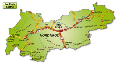
Map of tyrol with highways

Ticino blank detailed outline map set - vector version

Silhouettes of country Switzerland and all cantons

France region Brittany map flag vector silhouette illustration isolated on white background. French Brittany map. France territory.

Switzerland map icon in outline style isolated on white background
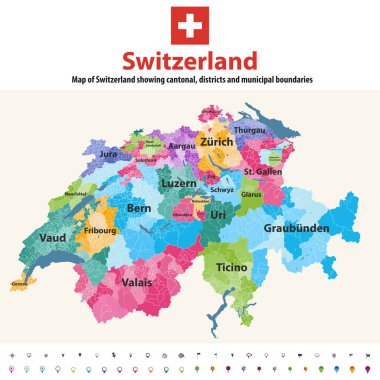
Switzerland vector map showing cantonal, districts and municipal boundaries. Map colored by cantons and inside each canton by distrcts. Flag of Switzerland. Navigation and location icons

Vysocina region administrative unit of the Czech Republic. Vector illustration.

3d isometric Map of Lucerne is a region of Switzerland with national flag

Printable map of Bihac, Bosnia and Herzegovina with main and secondary roads and larger railways. This map is carefully designed for routing and placing individual data.

Grunge Sicily map with flag inside - Illustration, The head of the Gorgon Medusa

Highly detailed physical map of Switzerland,in vector format,with all the relief forms,regions and big cities.

Set of the political Switzerland maps, markers and symbols for infographic

Map of Switzerland

A large and detailed map of Costa Rica with all provincesa and cantones.

Colorful political map of Switzerland. Administrative divisions - cantons. Simple flat vector map with labels.

Green political map of Switzerland. Administrative divisions - cantons. Simple flat vector map with labels.

Colorful political map of Switzerland. Administrative divisions - cantons. Simple flat vector map with labels.

Political map of Switzerland with all cantons where Schaffhausen is pulled out

Political map of Switzerland with all cantons where Ticino is pulled out

Political map of Switzerland with all cantons where Obwalden is pulled out

Political map of Switzerland with all cantons where Zug is pulled out

Silhouette green contour map of Switzerland isolated on white background
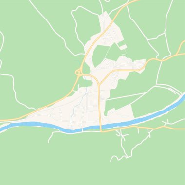
Printable map of Zepce, Bosnia and Herzegovina with main and secondary roads and larger railways. This map is carefully designed for routing and placing individual data.

Political map of Switzerland with all cantons where Jura is pulled out

A large and detailed map of Costa Rica with all provinces, cantones and main cities.

Map of Switzerland with flag of Zug
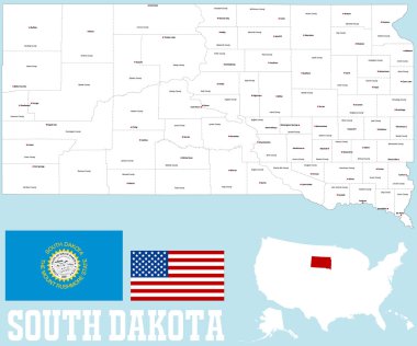
A large and detailed map of the State of South Dakota with all counties and county seats.

Highly detailed, editable political map with separated layers. Switzerland.

Highly detailed, editable political map with separated layers. Switzerland.

Political map of Switzerland with all cantons where Basel - Stadt is pulled out

Outline Switzerland map with provinces

Political map of Switzerland with all cantons where Neuchatel is pulled out

Political map of Switzerland with all cantons where Vaud is pulled out

Political map of Switzerland with all cantons where Geneva is pulled out

Labeled Color Ceremonial Counties Map of European Country of England