
Ticino blank detailed outline map set - vector version

Aargau blank detailed outline map set
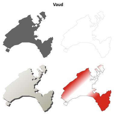
Vaud blank detailed outline map set - vector version

Basel-Landschaft blank detailed outline map set - vector version

Newport (Tennessee) blank outline map

Dundee (Oregon) blank outline map

Obwalden canton blank outline map set

Zurich Canton outline map isolated on white background, Switzerland

Dundee (New York) blank outline map

Valais canton blank outline map set

Stratford (Wisconsin) blank outline map

Bristol (Pennsylvania) blank outline map

Schaffhausen canton blank outline map set

Dundee (Scotland) blank outline map set

Bern Canton outline map isolated on white background, Switzerland

East Canton (Ohio) blank outline map

Fribourg canton blank outline map set

Ticino canton blank outline map set

Canton (North Carolina) blank outline map

Bedford (Virginia) blank outline map

South Bohemian region administrative unit of the Czech Republic. Vector illustration.

Essex map, ceremonial county of England. Vector illustration.

South Moravian region administrative unit of the Czech Republic. Vector illustration.

Vysocina region administrative unit of the Czech Republic. Vector illustration.
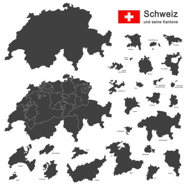
Silhouettes of country Switzerland and all cantons

Grey map of Greece with administrative regions. Vector illustration.

Silhouette contour border map of the Switzerland isolated on white background

Pardubice region administrative unit of the Czech Republic. Vector illustration.

White Region (Oblast) Map of European Country of Ukraine

A large and detailed map of the State of Ohio with all counties and county seats.

West Midlands map, ceremonial county of England. Vector illustration.

Wales map with districts. Vector illustration.

Map of Greece with administrative regions. Vector illustration.

Gray Map of Districts of Northern Ireland, United Kingdom

Printable map of Zenica, Bosnia and Herzegovina with main and secondary roads and larger railways. This map is carefully designed for routing and placing individual data.

Map of Switzerland icon vector illustration symbol design

Vector map of the Swiss canton of Ticino with the most important cities

Switzerland - Highly detailed, editable political map with labeling.

Gray Switzerland map with states and main cities

Colorful Switzerland map with states

Administrative and political vector map of switzerland

Administrative and political vector map Grand Duchy of Luxembourg

Map of Switzerland icon vector illustration symbol design

Gray Ceremonial Counties Map of European Country of England

White Labeled Ceremonial Counties Map of European Country of England

Blank colorful political map of Switzerland. Administrative divisions - cantons. Simple flat vector map.
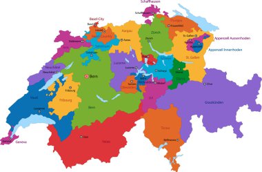
Colorful Switzerland map with states and main cities

Silhouettes of country Switzerland and all cantons

France region Brittany map flag vector silhouette illustration isolated on white background. French Brittany map. France territory.

Switzerland map icon in outline style isolated on white background

3d isometric Map of Lucerne is a region of Switzerland with national flag

Printable map of Bihac, Bosnia and Herzegovina with main and secondary roads and larger railways. This map is carefully designed for routing and placing individual data.

Highly detailed physical map of Switzerland,in vector format,with all the relief forms,regions and big cities.

Colorful political map of Switzerland. Administrative divisions - cantons. Simple flat vector map with labels.

Green political map of Switzerland. Administrative divisions - cantons. Simple flat vector map with labels.

Political map of Switzerland with all cantons where Schaffhausen is pulled out

Political map of Switzerland with all cantons where Ticino is pulled out

Colorful political map of Switzerland. Administrative divisions - cantons. Simple flat vector map with labels.

Political map of Switzerland with all cantons where Zug is pulled out

Political map of Switzerland with all cantons where Obwalden is pulled out

Silhouette green contour map of Switzerland isolated on white background
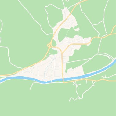
Printable map of Zepce, Bosnia and Herzegovina with main and secondary roads and larger railways. This map is carefully designed for routing and placing individual data.

Political map of Switzerland with all cantons where Jura is pulled out
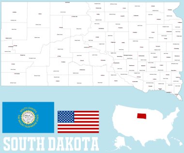
A large and detailed map of the State of South Dakota with all counties and county seats.

Highly detailed, editable political map with separated layers. Switzerland.

Highly detailed, editable political map with separated layers. Switzerland.

Political map of Switzerland with all cantons where Basel - Stadt is pulled out

Outline Switzerland map with provinces

Political map of Switzerland with all cantons where Neuchatel is pulled out

Political map of Switzerland with all cantons where Vaud is pulled out

Political map of Switzerland with all cantons where Geneva is pulled out

Labeled Color Ceremonial Counties Map of European Country of England

Labeled Color Flat Map of Council Areas of Scotland
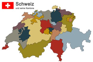
Silhouettes of country Switzerland and all cantons

Silhouettes of european country Switzerland and all cantons

Black Switzerland map with states and main cities

Blank political map of Switzerland. Administrative divisions - cantons. Simple solid gray map.

Blank map of Lithuania. Departments and Districts of Lithuania map. High detailed gray vector map of Republic of Lithuania on transparent background for your design. EPS10.

White Labeled Flat Map of Council Areas of Scotland

Blank map of Croatia. Departments and regions of Croatia map. High detailed gray vector map of Croatia on transparent background for your design. EPS10.
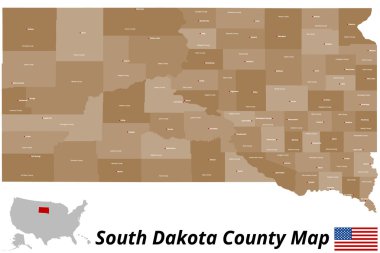
A large and detailed map of the State of South Dakota with all counties and county seats.
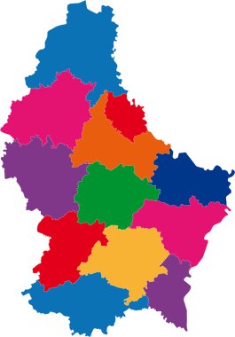
Cantons of Grand Duchy of Luxembourg
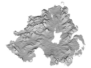
Gray 3D Topography Map of European Country of Northern Ireland, United Kingdom

High Quality map of Lausanne is a city The Switzerland, with borders of the regions. Map Lausanne of canton of Vaud your web site design, app, UI. EPS10.

A large and detailed map of the State of Ohio with all counties and county seats.

Map Namibia in gray on a white background

Coat of Arms of Ukrainian Region (Oblast) of Cherkasy

Labeled Color Map of Principal Areas of Wales

Political map of Switzerland with all cantons where Bern is pulled out

Coat of Arms of Ukrainian Region (Oblast) of Mykolaiv

Coat of Arms of Ukrainian Region (Oblast) of Dnipropetrovsk
Flag Canton of Fribourg brush strokes. Flag of Fribourg on transparent background for your web site design, app, UI. Switzerland. EPS10.

White Ceremonial Counties Map of European Country of England

Detailed illustration of a ballot box in front of a map of switzerland, eps10 vector

Coat of Arms of Ukrainian Region (Oblast) of Lviv

Flag of Bern brush strokes. Flag of Bern on transparent background for your web site design, app, UI. Switzerland. EPS10.
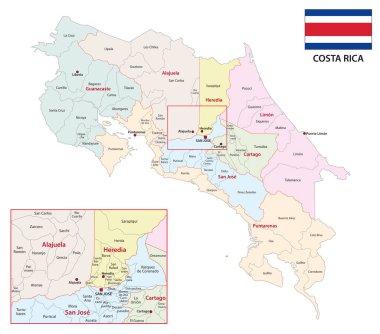
Administrative vector map of the central american state of costa rica

Flag Canton of Valais brush strokes. Flag of Valais on transparent background for your web site design, app, UI. Switzerland. EPS10.

Gray Region (Oblast) Map of European Country of Ukraine

Coat of Arms of Ukrainian Region (Oblast) of Luhansk