Republic of Hungary isolated map and official flag icons. vector Hungaian political map outline. Central Europe country geographic banner template

Historical and modern Hungary after Trianon Treaty 1920

Republic of Hungary isolated map and official flag icons. vector Hungaian political map 3d illustration. Central Europe country geographic banner template

Historical and modern Hungary after Trianon Treaty 1920

Colorful Hungary political map with clearly labeled, separated layers. Vector illustration.

Flag of Hungary is a country in Central Europe. Vector illustration

Hungary - Highly detailed editable political map with labeling.

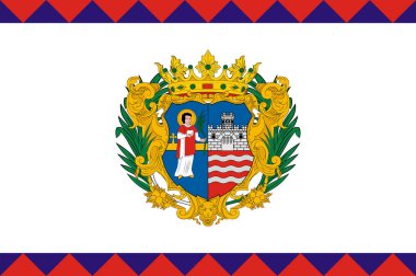
Flag of Gyor is the most important city of northwest Hungary, the capital of Gyor-Moson-Sopron County. Vector illustration

Coat of arms of Veszprem is one of the oldest urban areas in Hungary. Vector illustration

The historical Hungarian Empire before the Trianon Treaty 1920

Highly detailed editable political map with separated layers. Hungary.

Coat of arms of Bekescsaba is a city in Southeast Hungary, the capital of the county Bekes. Vector illustration

Hungary - Highly detailed editable political map with labeling.

Flag of Csongrad is the name of an administrative county in southern Hungary. Vector illustration

Coat of arms of Szabolcs-Szatmar-Bereg is an administrative county in north-eastern Hungary. Vector illustration

Coat of arms of Hungary is a country in Central Europe. Vector illustration

High detailed Hungary physical map with labeling.

Highly detailed editable political map with separated layers. Hungary.

Coat of arms of Hungary is a country in Central Europe. Vector illustration

Republic of Hungary isolated maps and official flag icon. vector Hungaian political map icons with general information. European country geographic banner template

Topographic map of Ukraine. Geographic map of Ukraine with borders of the regions. High detailed Ukraine physical map with labeling. Atlas of Ukraine with rivers, lakes, seas, mountains and plains.Vector illustration

High detailed Hungary road map with labeling.