
Donegal, Dublin, Galway, Kerry outline maps

Map of Ireland, Vector Icon in blue modern style
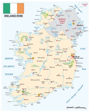
Vector map of Republic of Ireland with flag
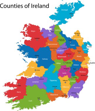
Colorful Republic of Ireland map with regions and main cities

Coat of arms of Leinster is one of the provinces of Ireland, situated in the east of Ireland. Vector illustration

Flag of County Wexford is a county in Ireland. Vector illustration

Flag of Leinster is one of the provinces of Ireland, situated in the east of Ireland. Vector illustration
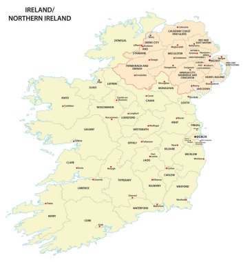
Administrative map of Ireland and Northern Ireland
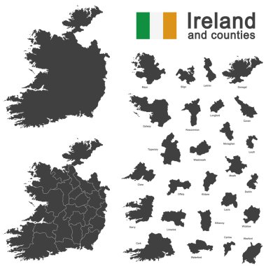
European country Ireland and counties in details
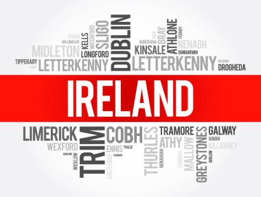
List of cities in Ireland word cloud collage, business and travel concept background

List of cities and towns in Ireland, map word cloud collage, business and travel concept background
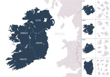
Vector color detailed map of Ireland with administrative divisions of the country, each provinces is presented separately in-highly detailed and divided into counties
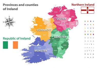
Provinces and counties of Ireland vector map
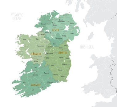
Detailed map of Ireland with administrative divisions into provinces and counties, major cities of the country, vector illustration onwhite background

Monochrome detailed plan city of Dublin

United kingdom and ireland map in black and white

United Kingdom road and highway map. Vector illustration.

Map of administrative divisions of Ireland
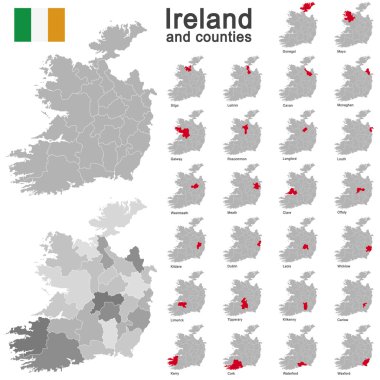
European country Ireland and counties in details

Outline Republic of Ireland map with regions
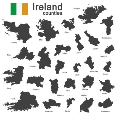
European country Ireland and counties in details

Gray Republic of Ireland map with regions and main cities

Location of the Republic of Ireland on the Europa continent
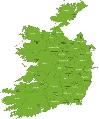
Green Republic of Ireland map with regions and main cities

Colorful map silhouette with shadow - Ireland

Republic of Ireland map with regions and main cities
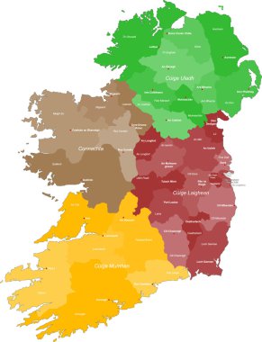
A large and detailed map of Ireland with all counties and main cities.

Colorful Republic of Ireland map with regions and main cities

A large and detailed map of the State of Ohio with all counties and county seats.
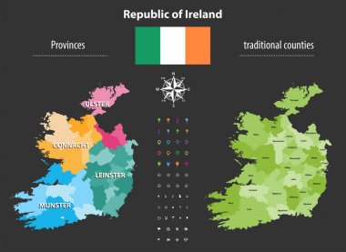
Republic of Ireland provinces and traditional counties vector map

Flag of County Dublin is one of the thirty-two traditional counties of Ireland. Vector illustration

Flag of County Mayo is a county in Ireland. In the West of Ireland. Vector illustration
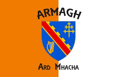
Flag of County Armagh is one of the traditional counties of Ireland and one of six counties that form Northern Ireland. Vector illustration

Dotted polka dot map of Ireland, Vector Icon in gray modern style.

Map of Italy, Vector Icon in blue modern style
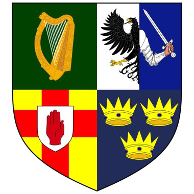
Coat of arms of the Four Provinces of Ireland - Munster, Ulster, Connacht and Leinster. Vector illustration
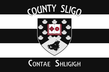
Flag of County Sligo is a county in Ireland. Vector illustration
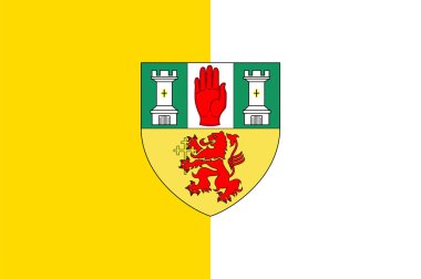
Flag of County Antrim is one of six counties that form Northern Ireland. Vector illustration

Flag of County Louth is a county in the Republic of Ireland. Vector illustration

List of cities in Ireland word cloud collage, business and travel concept background

Flag of Dublin is the capital and largest city of Ireland. Vector illustration

Coat of arms of Meath was a kingdom in Ireland. Vector illustration

Flag of Dublin is the capital and largest city of Ireland. Vector illustration

Coat of arms of County Louth is a county in the Republic of Ireland. Vector illustration
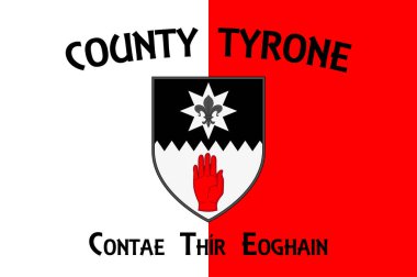
Flag of County Tyrone is one of the nine counties of Ulster, one of the six counties of Northern Ireland. Vector illustration
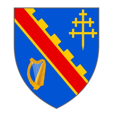
Coat of arms of County Armagh is one of the traditional counties of Ireland and one of six counties that form Northern Ireland. Vector illustration

Coat of arms of County Sligo is a county in Ireland. Vector illustration
List of cities in Ireland word cloud collage, business and travel concept background

Coat of arms of County Laois is a county in Ireland. Vector illustration

Flag of County Mayo is a county in Ireland. In the West of Ireland. Vector illustration

Coat of arms of County Carlow is a county located in the South-East Region of Ireland, within the province of Leinster. Vector illustration
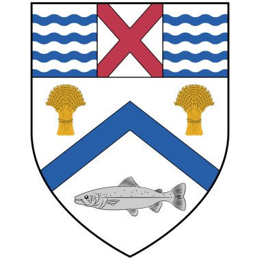
Coat of arms of Coleraine is a town and civil parish near the mouth of the River Bann in County Londonderry, Northern Ireland. Vector illustration
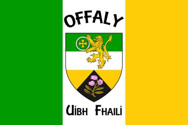
Flag of County Offaly is a county in Ireland. Vector illustration

Flag of County Cork is a county in Ireland. Vector illustration

Flag of County Clare is a county in Ireland, in the Mid-West Region and the province of Munster. Vector illustration
Irish vintage flag - grunge style

Flag of Leinster is one of the provinces of Ireland, situated in the east of Ireland. Vector illustration

A large and detailed map of the State of Ohio with all counties and county seats.
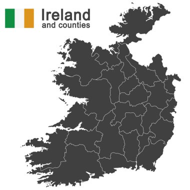
European country Ireland and counties in details

Dublin county blank outline map set

Ireland political map of administrative divisions - counties and cities. Shaded vector map with 3D-like blue gradient and name labels

Ireland political map of administrative divisions - counties and cities. 3D turquoise vector map with name labels.