Davis (Oklahoma) blank outline map

State of Utah, subdivided into 29 counties, outline map with county names and boundaries. State in the Mountain West of the United States, nicknamed Beehive State, The Mormon State, and Deseret.

Utah, U.S. state subdivided into 29 counties, gray political map with borders and county names. State in the Mountain West region of Western USA. Nicknamed Beehive State, Mormon State, and Deseret.

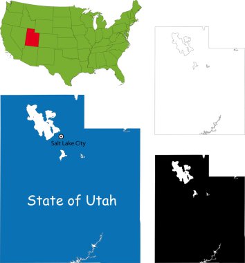
Illustration of State of Utah, USA

Large and detailed map and infos about Macon County in Alabama

Pine Belt, also known as Piney Woods, a region in Southeast Mississippi, political map. The region get its name from longleaf pine trees, abundant in nine counties, in the map highlighted in green.

Pine Belt, or Piney Woods, a region in Southeast Mississippi, political map. The region includes nine counties, highlighted in dark green, and get its name from longleaf pine trees, that are abundant.