
Map of the U.S. District of Columbia

Ganja Washington DC map collage of marijuana leaves. Narcotic dependence template. Vector Washington DC map is composed of green ganja leaves. Abstract territory scheme in green color tones.

Vector population Washington DC map. Demography mosaic of Washington DC map made of humans with different positions. Demographic map in blue tones.

Map of the U.S. District of Columbia vector on a white background

Grunge rubber stamp with name of Washington, District of Columbia vector illustration

Stamp or label with name of Washington, District of Columbia, vector illustratio

Washington DC skyline pop in editable vector file

Vector Map of District Columbia with name. Map of District Columbia is isolated on a white background. Simple flat geographic map.

High detailed South Carolina road map with labeling.

Vector map of the city of Portland, Oregon, USA

South Carolina map vector illustration. Global economy. State in America. North America. United States. America. U.S.A
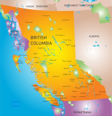
Vector british columbia province map

British Columbia province vector editable map of the Canada with capital, national borders, cities and towns, rivers and lakes. Vector EPS-10 file
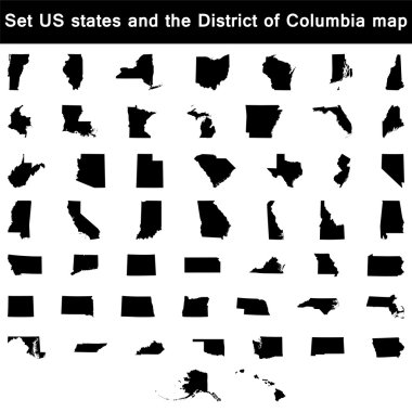
Vector illustration vector illustration set of US states maps
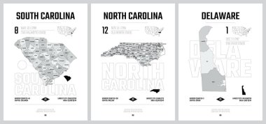
Highly detailed vector silhouettes of US state maps, Division United States into counties, political and geographic subdivisions of a states, South Atlantic - South Carolina, North Carolina, Delaware - set 9 of 17

District of Columbia blank outline map set

Vector map of the city of Portland, Oregon, USA

District of Columbia on USA Map. District of Columbia flag and map. US States.

Washington DC city skyline silhouette. Vector illustration

Southeast region of United States, colored map. Also Southeastern United States, American Southeast, or simply Southeast, a geographic region, consisting of 12 contiguous states, and Washington, D.C.

Washington, District of Columbia skyline. Detailed vector silhouette

Vector illustration of Vancouver, monochrome horizontal poster with linear design vancouver city scape, urban line art concept with decorative lettering for black word vancouver on white background.
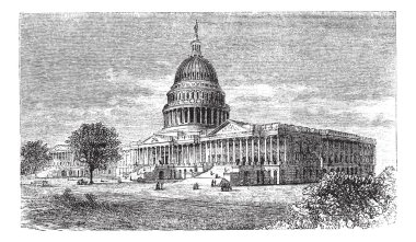
United States Capitol, in Washington, D.C., USA, vintage engraved illustration. Trousset encyclopedia (1886 - 1891).
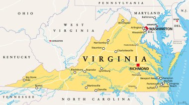
Virginia, VA, political map. Commonwealth of Virginia. State in Southeastern and Mid-Atlantic region of the United States. Capital Richmond. Old Dominion. Mother of Presidents. Illustration. Vector.

Canada, Vancouver City line travel skyline set. Canada, Vancouver City outline city vector panorama, illustration, travel sights, landmarks, streets.

Vector city map of Washington, D.C. with well organized separated layers.
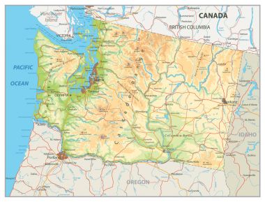
Physical map of Washington state with a main relief, rivers, lakes and highways.

Official current vector flag of the Canadian province of BRITISH COLUMBIA, CANADA

Washington DC black and white map

Washington DC map

British Columbia Map. Canada state with cities and towns
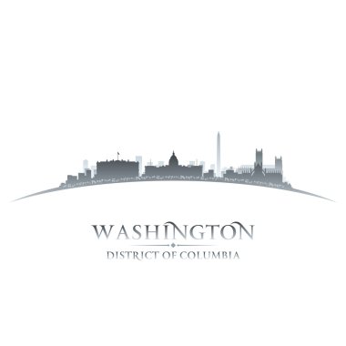
Washington DC city skyline silhouette. Vector illustration

Blue and White vector city map of Washington, D.C. with well organized separated layers.
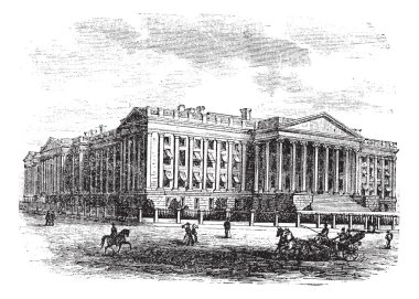
United States Department of the Treasury Building, in Washington, D.C., USA, vintage engraved illustration. Trousset encyclopedia (1886 - 1891).

33 of 50 states of the United States with a name, nickname, and date admitted to the Union, Detailed Vector Oregon Map for printing posters, postcards and t-shirts

Flag of the US capital Washington D.C.

Map of Washington DC Metropolitan Area is the metropolitan area based in Washington DC

Minimalistic Washington, D.C. city map icon.

Set of US states maps vector illustration

Set of US states maps vector illustration

Washington DC White House Building with Garland Candy Cane Holly Berries on Snowflakes Background Illustration
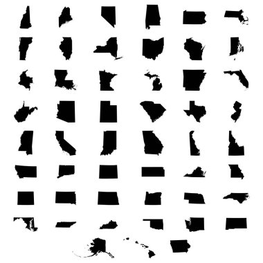
Set of US states maps on a white background

High Quality map of South Atlantic division of United States of America with borders of the states

Fireworks over Washington DC Monuments Landmarks Capitol and Memorials Collage Isolated on White background Illustration

Set of US state maps vector illustration

Washington DC Capitol Building with Garland Candy Cane Holly Berries on Snowflakes Background Illustration
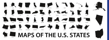
Collection of outline shape of US states map in black. Vector flat design.
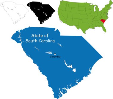
Illustration of State of South Carolina, USA

Set of US states maps vector illustration

The seal of the state of Washington DC over a white background

Coat of arms of Washington, D.C., formally the District of Columbia and commonly referred to as Washington or D.C., is the capital of the United States. Vector illustration

Set of US states maps vector illustration

Washington Dc skyline. Vector illustration

Washington, D.C. on a brick wall - Illustration,Font with the Washington, D.C. flag, Washington, D.C. map on a brick wall

Washington city skyline silhouette background, vector illustratio

Washington DC city skyline silhouette - multicolor line art

Washington DC Monuments Landmarks White House Capitol and Memorials Collage with Paint Splatter Abstract Isolated on White background Vector Illustration

Design of banners, flyers, brochures with District of Columbia Flag. Leaflet Template for website or printing. Vector Illustration.

Washington state road map with rivers, lakes and highways.

Set of US states maps vector illustration

Washington state map with roads, rivers, lakes and highways.

Vector city map of Washington DC, District of Columbia, US on a vintage grunge paper with well organized separated layers
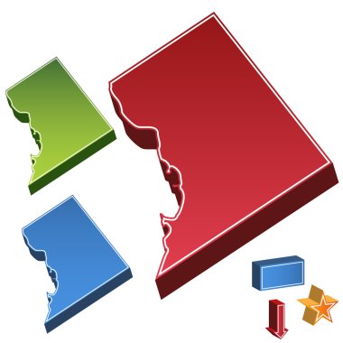
Set of 3D images of Washington D.C. with icons.

Outline Washington Monument in blue color Washington DC Vector illustration

Grunge Brush Stroke With National Flag Of Columbia Isolated On A White Background. Vector Illustration. Flag In Grungy Style. Use For Brochures, Printed Materials, Logos, Independence Day

Washington state map navigation set in colors of blue with roads, rivers, lakes and highways.
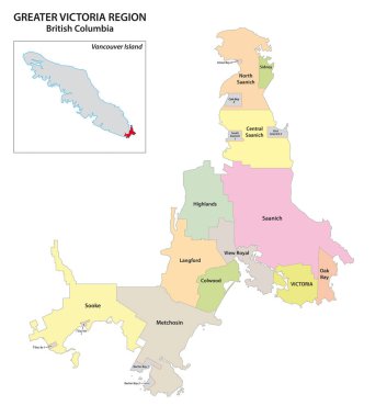
Administrative map of the greater Victoria region, Vancouver Island, British Columbia, Canada

District of Columbia line art map from colorful curved lines

Vector map of the city of Portland, Oregon, USA

Flag and map of Washington D.C. as vector illustration

Vector hand drawn sketch.

Washington Monument and cloud in blue sky Washington DC Vector illustration

Washington Dc skyline. Vector illustration

Vector file, illustration, quebec regional flag

Washington DC Flag Icon on Internet Button Original Vector Illustration AI8 Compatible

Washington DC US Capitol Building Government Shutdown Red Text Outline Illustration

Outline Political US Map with titles of the states. All USA regions are separated and named in a layer panel

Virginia state outline administrative and political vector map in black and white

Washington DC on USA map vector

Map of the Eight Districts of Washington DC with flag

Lincoln Memorial. Washington. USA. Flat vector illustration
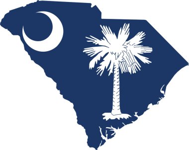
Simple flat flag administrative map of the Federal State of South Carolina USA

Map of the U.S. District of Columbia

Washington state map navigation set with roads, rivers, lakes and highways.

Washington DC Capitol Dome with Heart Memorial Tribute Isolated Vector Illustration

Silhouette of a Washington cityscape. Vector illustration design

Set of US states in the map of America on a white background. Contours of American states metered line on the US map

District of Columbia Flag Collection, USA State, 12 versions

USA State Flags in Rugby Style. Big Rugby icon set with preview flag of Alaska, Colorado, New Mexico.

Washington DC city skyline. Vector illustration with cloud and blue sky

US states set, hearts and flags, 2 version, part 1

Postage stamp with the image of Wyoming, District of Columbia, Confederate, United States of America Flag. Vector Illustration.

Map of the U.S. District of Columbia

Square flags of US States. Part I from Alabama to Iowa. Vector Illustration.

Vector map of the city of Portland, Oregon, USA

Washington skyline icon on white background

2016 US Presidential Election Race Washington DC Flag Outline Illustration

Black protest with the message "Black Lives Matter". Vector illustration.

Washington, DC, logo design. Two in one vector arts. Big logo with vintage letters with nice colored background and one-color-version with map for every possible print production.
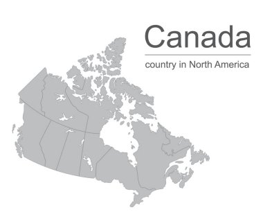
Canada map vector outline illustration with provinces or states borders on a white background.