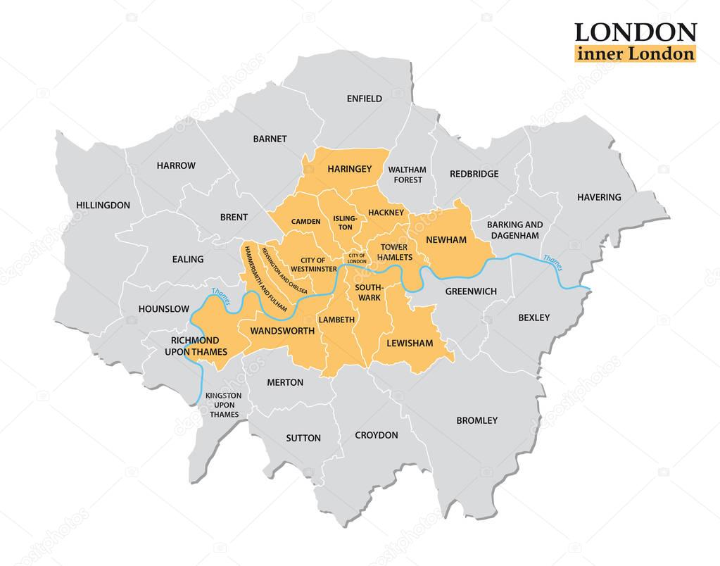
Administrative and political map of inner London, Statistical definition premium vector by Lesniewski

Please buy a commercial licence for commercial use without attribution.
graphic border europe outline map cartography geography political administrative london definition statistical greater mapping hackney lambeth Greenwich southwark camden Great Britain United Kingdom city of London city of Westminster Kensington and Chelsea tower hamlets newham wandsworth islington haringey lewisham Hammersmith and Fulham
Categories:Array ( ) 1
tags:
graphic
border
europe
outline
map
cartography
geography
political
administrative
london
definition
statistical
greater
mapping
hackney
lambeth
Greenwich
southwark
camden
Great Britain
United Kingdom
city of London
city of Westminster
Kensington and Chelsea
tower hamlets
newham
wandsworth
islington
haringey
lewisham
Hammersmith and Fulham