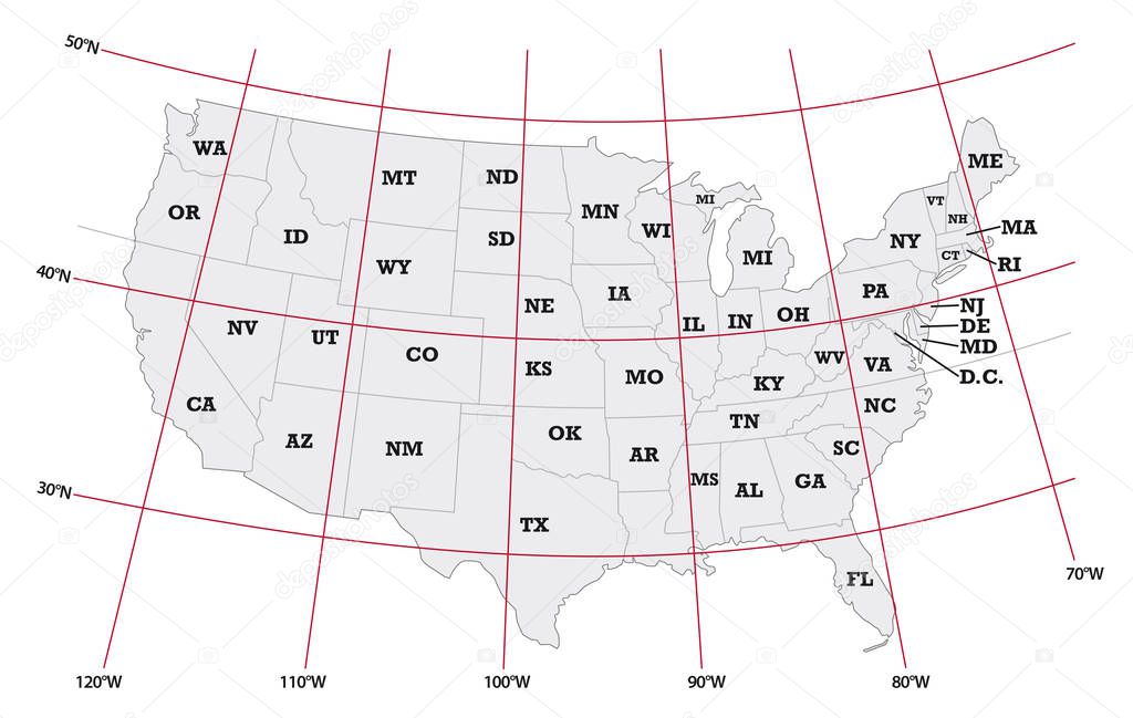
Administrative map United States with latitude and longitude premium vector by Lesniewski

Please buy a commercial licence for commercial use without attribution.
red white vector background graphic illustration design isolated travel black border gray contour simple drawing american us usa north northern outline country map cartography geography latitude longitude national continent land state topography america boundary government administrative united states washington region california province nation county coordinates geographical infographics
Categories:Array ( ) 1
tags:
red
white
vector
background
graphic
illustration
design
isolated
travel
black
border
gray
contour
simple
drawing
american
us
usa
north
northern
outline
country
map
cartography
geography
latitude
longitude
national
continent
land
state
topography
america
boundary
government
administrative
united
states
washington
region
california
province
nation
county
coordinates
geographical
infographics