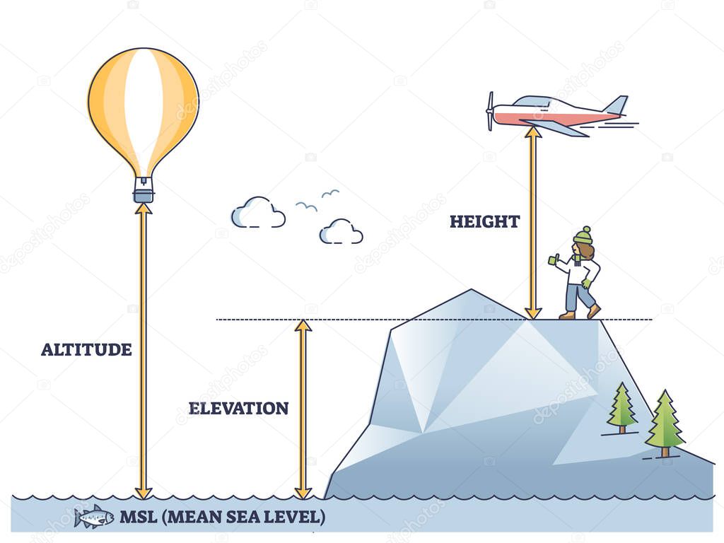
Altitude, elevation and height differences from mean sea level outline diagram. Labeled educational geographic terminology explanation and measurement scheme vector illustration. Unit description. premium vector by VectorMine

Please buy a commercial licence for commercial use without attribution.
vector graphic illustration nature air up change mountain sea concept balloon pressure measurement gradient relief elevation outline length geography ground level geology height unit distance above physics airplane difference scheme aviation educational depth diagram comparison climb description example altitude mean relation explanation versus density vs labeled meterage terminology MSL
Categories:Array ( ) 1
tags:
vector
graphic
illustration
nature
air
up
change
mountain
sea
concept
balloon
pressure
measurement
gradient
relief
elevation
outline
length
geography
ground
level
geology
height
unit
distance
above
physics
airplane
difference
scheme
aviation
educational
depth
diagram
comparison
climb
description
example
altitude
mean
relation
explanation
versus
density
vs
labeled
meterage
terminology
MSL