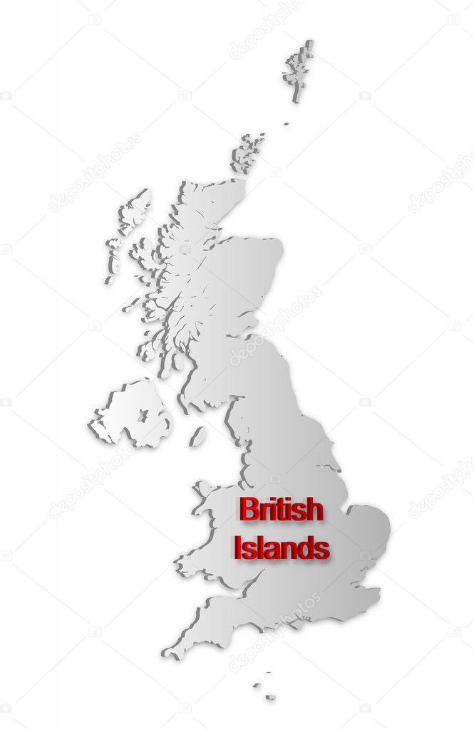
British Islands Map 2951388

File Details
| File ID: | 2951388 |
|---|---|
| Artist: | grum_l |
| Formats: | AI, AI, SVG |
| Published: | April 19, 2010 |
Tags:
red
perspective
dimensional
abstract
man
silhouette
border
picture
gray
digital
simple
drawing
northern
europe
sketch
country
map
cartography
geography
plan
ireland
jersey
state
Channel
great
crown
united
kingdom
britain
islands
region
the
english
british
territory
frontier
policy
mapping
isle
guernsey
dependencies