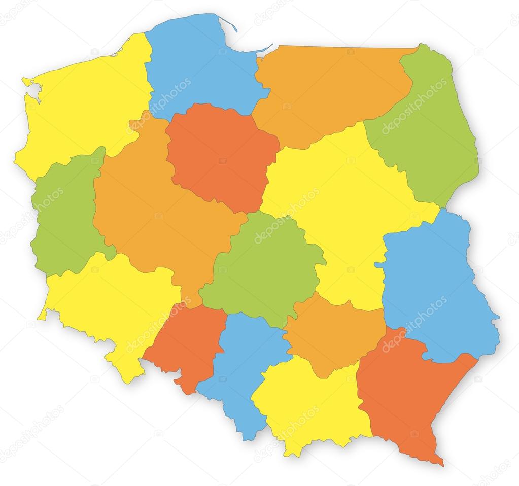
Colorful vector map of Poland with voivodeships on white projected in UTM coordinate system. All elements are separated in editable layers clearly labeled. premium vector by geo-grafika

Please buy a commercial licence for commercial use without attribution.
color white vector background colorful on graphic illustration isolated shape european border elements with shadow simple in polish outline country west map layers administrative of all region separated editable poland pomeranian province lower subdivision clearly greater åre lesser silesian Mazowieckie coordinate lublin voivodeship masovian mapa opolskie Malopolskie lodz lubelskie podkarpackie
Categories:Array ( ) 1
tags:
color
white
vector
background
colorful
on
graphic
illustration
isolated
shape
european
border
elements
with
shadow
simple
in
polish
outline
country
west
map
layers
administrative
of
all
region
separated
editable
poland
pomeranian
province
lower
subdivision
clearly
greater
åre
lesser
silesian
Mazowieckie
coordinate
lublin
voivodeship
masovian
mapa
opolskie
Malopolskie
lodz
lubelskie
podkarpackie