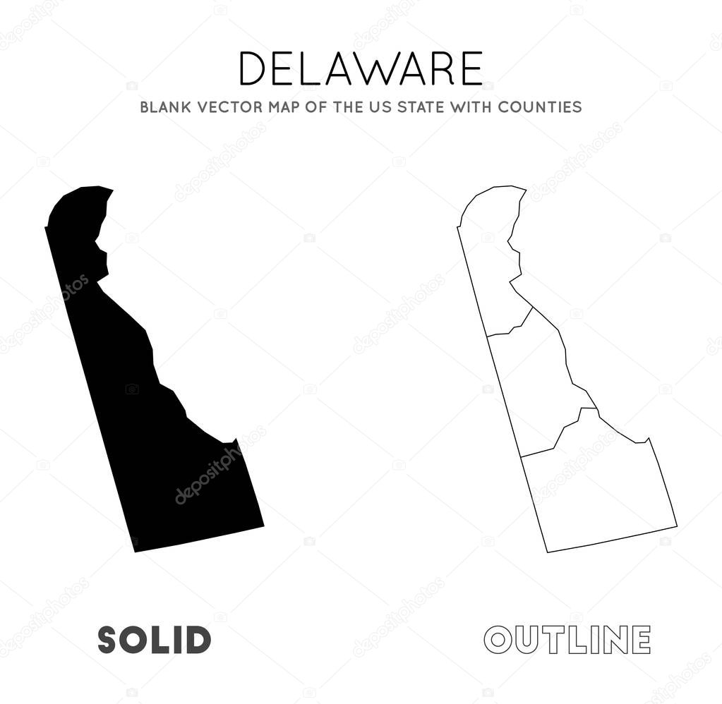
Delaware map. Blank vector map of the Us State with counties. Borders of Delaware for your infographic. Vector illustration. premium vector by Eugene Ga

Please buy a commercial licence for commercial use without attribution.
vector graphic illustration design high isolated travel transportation black silhouette border symbol information world american usa detailed north northern globe vacation navigation outline country map geography national land trip tourist discover chart topography tour america government destination united democracy states expedition patriotic Delaware geo nationalist nationality Wanderlust infographics Delaware map map delaware
Categories:Array ( ) 1
tags:
vector
graphic
illustration
design
high
isolated
travel
transportation
black
silhouette
border
symbol
information
world
american
usa
detailed
north
northern
globe
vacation
navigation
outline
country
map
geography
national
land
trip
tourist
discover
chart
topography
tour
america
government
destination
united
democracy
states
expedition
patriotic
Delaware
geo
nationalist
nationality
Wanderlust
infographics
Delaware map
map delaware