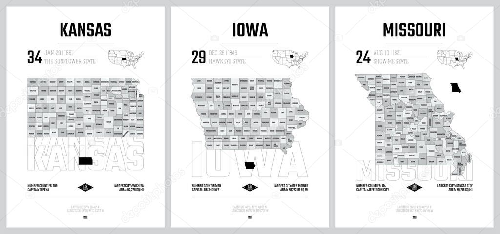
Highly detailed vector silhouettes of US state maps, Division United States into counties, political and geographic subdivisions of a states, West North Central - Kansas, Iowa, Missouri - set 6 of 17 premium vector by Max_776

Please buy a commercial licence for commercial use without attribution.
vector view design high art travel cut line border card gray city st contour education us usa detailed print outline district map cartography geography plan land state poster america administrative politics stamp united region division central Federal local county borough iowa Kansas Missouri louis counties topeka United States Des Moines kansas city west north
Categories:Array ( ) 1
tags:
vector
view
design
high
art
travel
cut
line
border
card
gray
city
st
contour
education
us
usa
detailed
print
outline
district
map
cartography
geography
plan
land
state
poster
america
administrative
politics
stamp
united
region
division
central
Federal
local
county
borough
iowa
Kansas
Missouri
louis
counties
topeka
United States
Des Moines
kansas city
west north