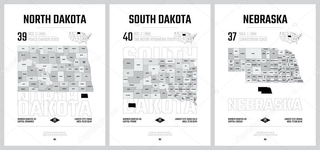
Highly detailed vector silhouettes of US state maps, Division United States into counties, political and geographic subdivisions of a states, West North Central - North Dakota, South Dakota, Nebraska - set 7 of 17 premium vector by Max_776

Please buy a commercial licence for commercial use without attribution.
vector design high art travel line silhouette border gray city contour world us usa detailed north print south outline district map cartography geography plan land state poster america administrative politics stamp aerial united region division separated Federal postage lincoln county borough Dakota nebraska counties bismarck omaha fargo United States sioux falls west north central
Categories:Array ( ) 1
tags:
vector
design
high
art
travel
line
silhouette
border
gray
city
contour
world
us
usa
detailed
north
print
south
outline
district
map
cartography
geography
plan
land
state
poster
america
administrative
politics
stamp
aerial
united
region
division
separated
Federal
postage
lincoln
county
borough
Dakota
nebraska
counties
bismarck
omaha
fargo
United States
sioux falls
west north central