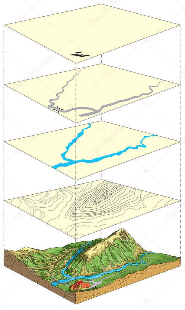
Illustration of terrain model and its representation on topographic map in layers. premium vector by Cloud-walker

Please buy a commercial licence for commercial use without attribution.
vector background illustration isolated nature water natural piece slice mountain cut river landscape cross mountains education ice science relief sand section soil realistic map geography crust land ground hills geology height topography rocks terrain layers altitude mantle preview heights schematic sediment lithosphere top view snow peaks contour lines topographic map piece of land 3d landscape elevation map piece of earth
Categories:Array ( ) 1
tags:
vector
background
illustration
isolated
nature
water
natural
piece
slice
mountain
cut
river
landscape
cross
mountains
education
ice
science
relief
sand
section
soil
realistic
map
geography
crust
land
ground
hills
geology
height
topography
rocks
terrain
layers
altitude
mantle
preview
heights
schematic
sediment
lithosphere
top view
snow peaks
contour lines
topographic map
piece of land
3d landscape
elevation map
piece of earth