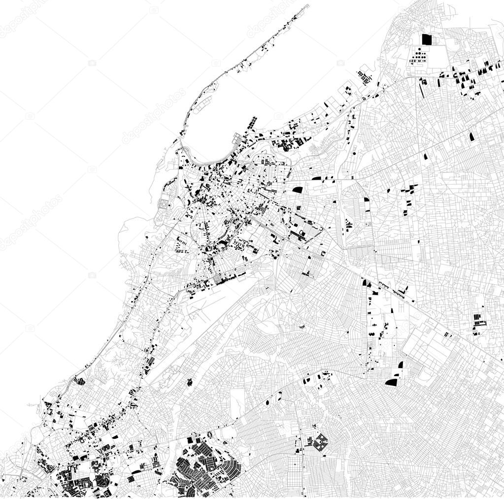
Map of Luanda, satellite view, black and white map. Street directory and city map. Africa premium vector by vampy1

Please buy a commercial licence for commercial use without attribution.
background design shape business travel silhouette old city street earth world tourism detailed cityscape capital skyline outline country map cartography geography national history Africa state tour location place political administrative region Roads central streets maps atlas nation county divisions routes Districts angola Munster Luanda
Categories:Array ( ) 1
tags:
background
design
shape
business
travel
silhouette
old
city
street
earth
world
tourism
detailed
cityscape
capital
skyline
outline
country
map
cartography
geography
national
history
Africa
state
tour
location
place
political
administrative
region
Roads
central
streets
maps
atlas
nation
county
divisions
routes
Districts
angola
Munster
Luanda