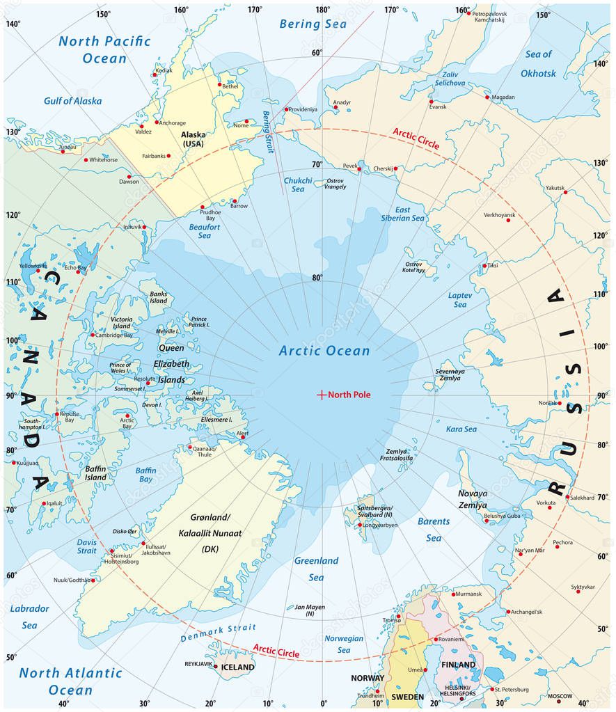
Map of the Arctic with the least and largest extent of the ice cap 2018 premium vector by Lesniewski

Please buy a commercial licence for commercial use without attribution.
circle travel sea pole earth ice coastline ocean sweden north northern europe Russia outline country map cartography geography latitude longitude pacific asia america island political projection arctic polar canada atlantic destination geographic Denmark states finland strait atlas norway minimum mapping Greenland iceland maximum hemisphere alaska 2018 bering barents ice cap
Categories:Array ( ) 1
tags:
circle
travel
sea
pole
earth
ice
coastline
ocean
sweden
north
northern
europe
Russia
outline
country
map
cartography
geography
latitude
longitude
pacific
asia
america
island
political
projection
arctic
polar
canada
atlantic
destination
geographic
Denmark
states
finland
strait
atlas
norway
minimum
mapping
Greenland
iceland
maximum
hemisphere
alaska
2018
bering
barents
ice cap