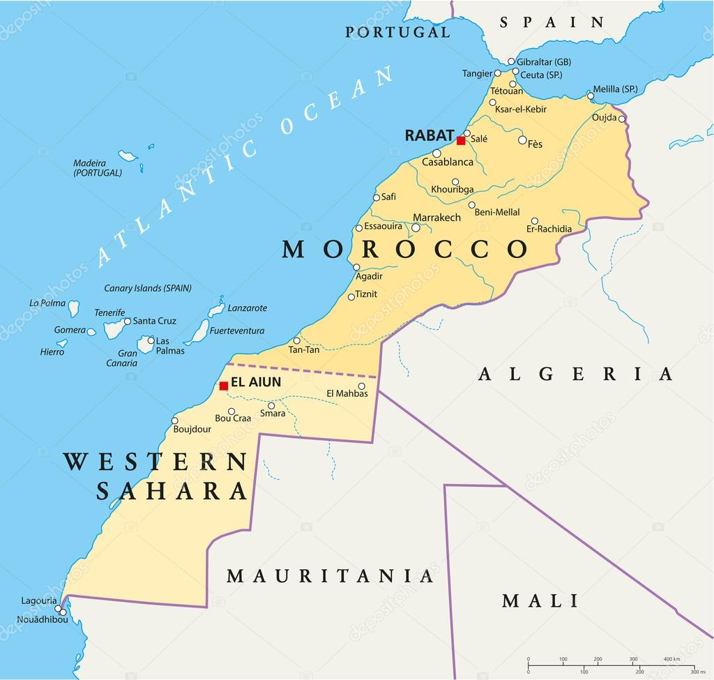
Hand drawn political map of Morocco and Western Sahara with the capitals Rabat and El Aiun, with national borders, most important cities, rivers and lakes. Vector illustration with english labeling and scale. premium vector by Furian

Please buy a commercial licence for commercial use without attribution.
in country western map cartography geography Africa algeria land portugal spain state muslim of atlantic arabic republic sahara atlas fuerteventura morocco canary travels tenerife enclave Lanzarote gomera madeira Mali mauritania maroc marrakech rabat gibraltar algerie casablanca tangier carte ribat melilla ceutan Fes agadir Canary Islands map of the world Atlantic Ocean north africa la palma western sahara west africa
Categories:Array ( ) 1
tags:
in
country
western
map
cartography
geography
Africa
algeria
land
portugal
spain
state
muslim
of
atlantic
arabic
republic
sahara
atlas
fuerteventura
morocco
canary
travels
tenerife
enclave
Lanzarote
gomera
madeira
Mali
mauritania
maroc
marrakech
rabat
gibraltar
algerie
casablanca
tangier
carte
ribat
melilla
ceutan
Fes
agadir
Canary Islands
map of the world
Atlantic Ocean
north africa
la palma
western sahara
west africa