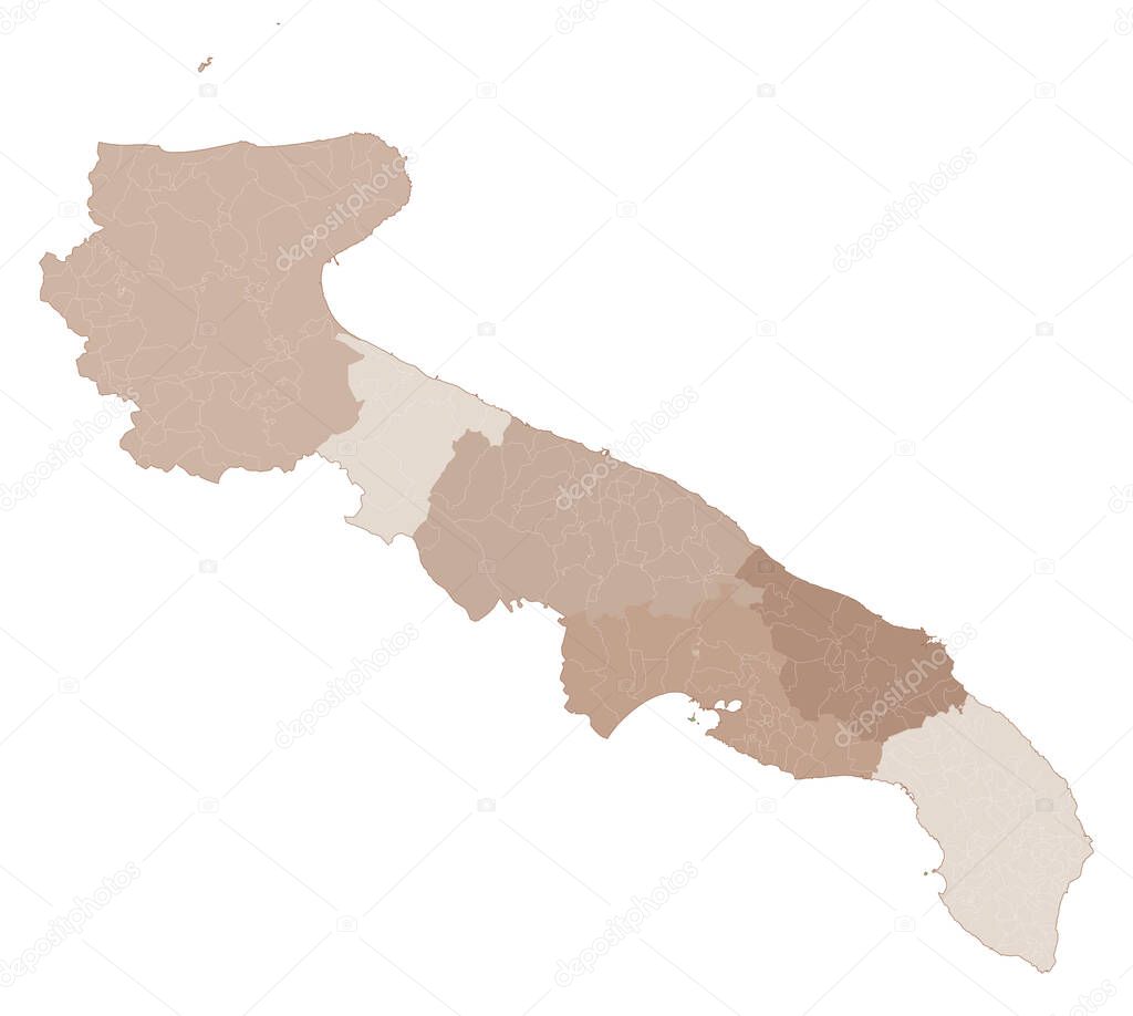
Puglia map, division by provinces and municipalities. Closed and perfectly editable polygons, polygon fill and color paths editable at will. Levels. Political geographic map. Italy premium vector by vampy1

Please buy a commercial licence for commercial use without attribution.
white vector background graphic illustration design isolated shape art travel abstract black silhouette border gray symbol concept italy italian detailed capital europe outline country map cartography geography area national land topography political administrative geographic region territory province bari puglia lecce taranto brindisi foggia Barletta Andrai Trani
Categories:Array ( ) 1
tags:
white
vector
background
graphic
illustration
design
isolated
shape
art
travel
abstract
black
silhouette
border
gray
symbol
concept
italy
italian
detailed
capital
europe
outline
country
map
cartography
geography
area
national
land
topography
political
administrative
geographic
region
territory
province
bari
puglia
lecce
taranto
brindisi
foggia
Barletta Andrai Trani