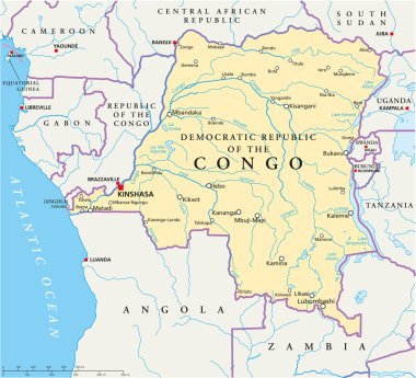
Congo Democratic Republic Political Map with capital Kinshasa, national borders, most important cities, rivers and lakes. Illustration with English labeling and scaling.
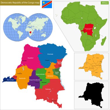
Map of Democratic Republic of the Congo with high detail and accuracy and it is divided into provinces which are colored with different bright colors

Democratic Republic Of The Congo. Capital Of Kinshasa. Flag of the DR Congo. Map of the continent of Africa with country borders. Vector graphics.

DR Congo map - 3D digital high-altitude topographic map. 3D vector illustration. Colored relief, rugged terrain. Cartography and topology.

3d map of DR Congo with borders of regions

Africa contoured map with highlighted Democratic Republic of the Congo. DR Congo map and flag on Africa map. Vector Illustration.
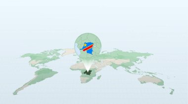
World map in perspective showing the location of the country DR Congo with detailed map with flag of DR Congo.
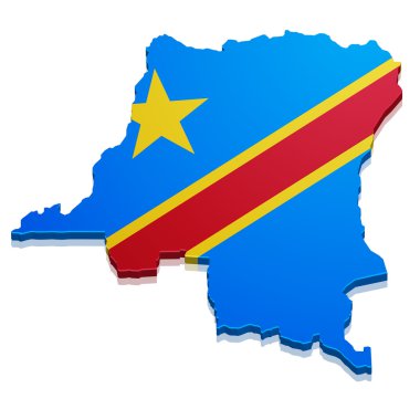
Detailed illustration of a map of the democratic republic of the congo with flag, eps10 vector
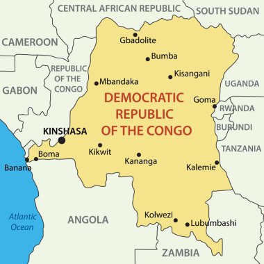
Democratic Republic of the Congo - vector map
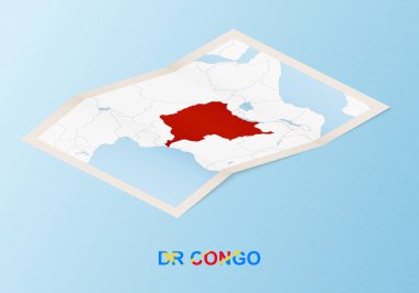
Folded paper map of DR Congo with neighboring countries in isometric style.

African Country Shapes with Flags on a Highlighted World Map

African countries set, maps and flags, part 2
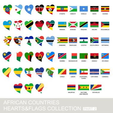
African countries set, hearts and flags, 2 version, part 2

Outline map of Democratic Republic of the Congo. Border is marked with ribbon in national colors. The package contains frames in national colors and stamp with flag.

Three versions of the World Map with the enlarged map of DR Congo with flag.

Africa countries flags in pointer icons

Africa contoured map with highlighted Equatorial Guinea. Equatorial Guinea map and flag on Africa map. Vector Illustration.

Blue coloured map design on country DR Congo isolated on white background - vector illustration
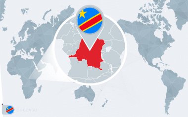
Pacific Centered World map with magnified DR Congo. Flag and map of DR Congo.

Africa contoured map with highlighted Gabon. Gabon map and flag on Africa map. Vector Illustration.
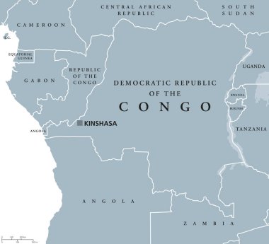
Democratic Republic of the Congo political map with capital Kinshasa. Also DR Congo, DRC, DROC or East Congo. Country in Central Africa. Gray illustration on white background. English labeling. Vector

DR Congo map flag and text illustration, on world map

Map of Democratic Republic of the Congo with hand drawn sketch pen map inside. Vector illustration

Map of DR Congo colored with Congolese flag and marked with golden line in grunge vintage style.
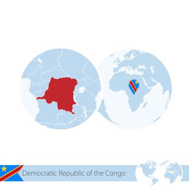
Democratic Republic of the Congo on world globe with flag and regional map of DR Congo. Vector Illustration.

World map with magnified DR Congo. DR Congo flag and map.

Vector stamp of welcome to DR Congo with map outline of the nation in center. Grunge Rubber Texture Stamp of welcome to DR Congo.

Alphabetically Ordered African Flags in Modern Design. National flags collection

DR Congo Map Pin with National Flag on Open World Map.

Haut-Uele, Ituri, Kasai, Kasai-Central outline maps

Sud-Kivu, Sud-Ubangi, Tanganyika, Tshopo, Tshuapa outline maps

DR Congo Location Highlighted on African Map with Flag Icon.

Kasai-Oriental, Kinshasa, Kongo-Central, Kwango outline maps

Map of the Republic of Zambia

Bas-Uele, Equateur, Haut-Katanga, Haut-Lomami outline maps

Kwilu, Lomami, Lualaba, Mai-Ndombe outline maps

Isolated colored map of DR Congo with borders of the regions

Maniema, Mongala, Nord-Kivu, Nord-Ubangi, Sankuru outline maps

Vector maps set. High detailed 46 maps of African countries with administrative division and cities. Political map, map of Africa continent, world map, globe, infographic elements. Part 2.
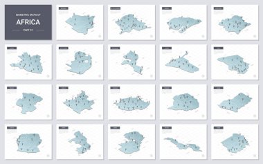
Vector isometric maps set - Africa continent. Maps of African countries with administrative division and cities. Part 1.

DR Congo map. Blank vector map of the Country with regions. Borders of DR Congo for your infographic. Vector illustration.

Vector color map of Congo country

DR Congo Flag Collection, 12 versions

Map of Democratic Republic of the Congo

Democratic Republic of the Congo outline inset into a map of Africa over a white background