Colorful Hungary political map with clearly labeled, separated layers. Vector illustration.

Hungary - Highly detailed editable political map with labeling.

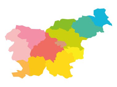
Colorful blank political map of Slovenia. Administrative divisions - statistical regions. Simple flat vector map

Highly detailed editable political map with separated layers. Hungary.

Croatia Political Map with capital Zagreb, national borders, important cities, rivers and lakes. English labeling and scaling. Illustration.

Hungary - Highly detailed editable political map with labeling.

Vector map Croatia. Isolated vector Illustration. Black on White background. EPS 10 Illustration.

High detailed Hungary physical map with labeling.

Highly detailed editable political map with separated layers. Hungary.

High detailed Hungary road map with labeling.