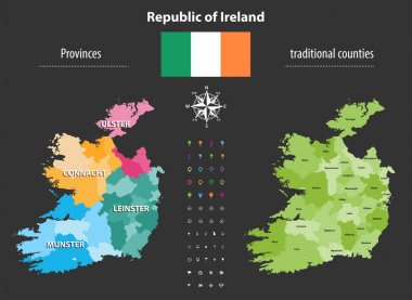
Republic of Ireland provinces and traditional counties vector map
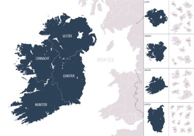
Vector color detailed map of Ireland with administrative divisions of the country, each provinces is presented separately in-highly detailed and divided into counties
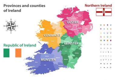
Provinces and counties of Ireland vector map
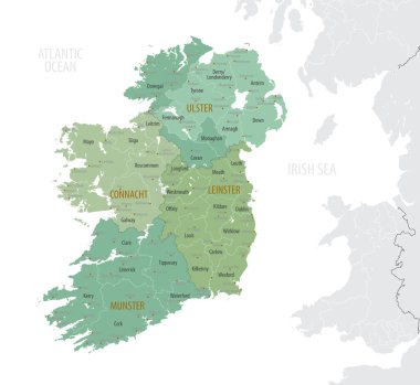
Detailed map of Ireland with administrative divisions into provinces and counties, major cities of the country, vector illustration onwhite background

Map of Ireland as an overview map in green

Map of Ireland as an infographic in green

Map of Ireland as an overview map in green

Map of Ireland with abstract background in green
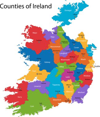
Colorful Republic of Ireland map with regions and main cities

Map of Ireland with borders in gray

Map of Ireland with borders in network design

Map of Ireland with borders in green

Map of Ireland with borders in bright gray