
Vector poster detailed city map Edinburgh

Edinburgh Downtown Vector Map Monochrome Artprint, Outline Version for Infographic Background, Black Streets and Waterways

Edinburgh Scotland City Map in Retro Style. Outline Map. Vector Illustration.
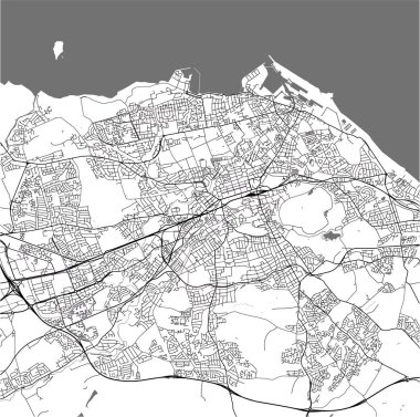
Vector map of the city of Edinburgh, Scotland, United Kingdom
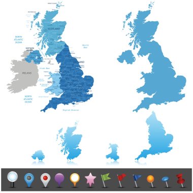
United Kingdom - highly detailed map. Vector illustration

Edinburgh map. Detailed map of Edinburgh city administrative area. Cityscape panorama. Royalty free vector illustration. Outline map with highways, streets, rivers. Tourist decorative street map.

Edinburgh (Scotland) blank outline map set

Vector map of the Scottish highlands, United Kingdom

Scotland subdivisions (unitary authorities) map and Scottish largest cities skylines. All elements separated in editable and detachable layers. Vector illustration

Edinburgh Scotland City Map in Retro Style. Outline Map. Vector Illustration.

Colorful map of countries of United Kingdom

Travel poster, urban street plan city map Belfast and Edinburgh, vector illustration

Contour of Scotland in grey and in flag colors
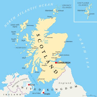
Independent Scotland political map with capital Edinburgh, national borders and important cities. Fictive map of Scotland as independent sovereign state after leaving United Kingdom. English labeling.

Scotland political map with capital Edinburgh, national borders and cities. Scotland is part of the United Kingdom and covers the northern third of the island of Great Britain. English labeling.

High detail map of Great Britain and Ireland

Stylized vector Scotland map showing big cities, capital Edinburgh, administrative divisions.

Scotland blank detailed outline map set

Illustration of a Political Map of United Kingdom

UK map vector - important cities marked on map of the United Kingdom.

UK map vector - major cities marked on map of the United Kingdom.

A detailed colored vector map of Scotland

Scotland map

High detailed Scotland road and nationalpark map with labeling

Color map of Great Britain and Ireland

Hand drawn map of the United Kingdom including England, Wales, Scotland and Northern Ireland and their capital cities. Colorful hand drawn vector illustration.

British Isles Map with capitals, national borders, rivers and lakes. Illustration with English labeling and scaling.

Black and white map of the UK and Ireland

National Map with Regions, States, and Their Names

United Kingdom countries and Ireland political map. England, Scotland, Wales, Northern Ireland, Guernsey, Jersey, Isle of Man and their capitals in different colors. Illustration on white background.

Highly detailed physical map of United Kingdom and Ireland,in vector format,with all the relief forms,states and big cities.

Blue map of Scotland with indication of Edinburgh

Vector detailed United Kingdom map
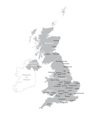
UNITED KINGDOM MAP with big cities, UK MAP with borders on grey background.

3d map of cities and roads in Europe. Countries and their neighbors.

Large and detailed maps of all scottish areas.

Lovely United Kingdom travel map with attractions

Monochrome contour map with city names

Vector map of the world with set of the most famous landmarks.

Glasgow Downtown Vector Map Monochrome Artprint, Outline Version for Infographic Background, Black Streets and Waterways

Political map of United Kingdom with capital London, national borders, most important cities, rivers and lakes. Vector illustration with English labeling and scaling.

United kingdom and ireland map in black and white

Black outline vector map of The British Isles illustration including England, Scotland, Wales & Ireland plus major cities.

Grunge rubber stamp set with names of Scotland cities, vector illustration

Grunge rubber stamp with words Scotland, Edinburgh inside, vector illustration

United Kingdom, Edinburgh travel landmarks, vector city tourism illustration

Monochrome detailed plan city of Edinburgh
Set of vector graphic flat icons representing symbols and landmarks of Scotland.

Set of vector graphic flat icons representing symbols and landmarks of Scotland.

Polygonal United Kingdom of Great Britain maps. Map of country in low poly style. Country map in geometric style for your infographics

Lovely United Kingdom travel map with attractions
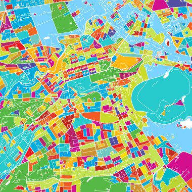
Edinburgh, Scotland, Colorful Vector Map, printable outline Version, ready for color change, Separated On White

Map of England flag Decorative idea design

Map pin with Edinburgh skyline - vector illustration

Map of Scotland with neighbor countries pinned on world map. Abstract triangles World Map.
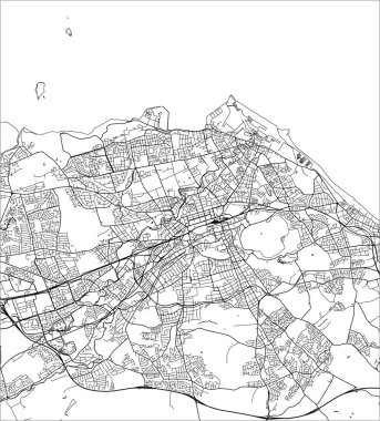
Vector map of the city of Edinburgh, Scotland, United Kingdom

Polygonal british islands maps. Map of United kingdom and ireland in low poly style. Country map in geometric style for your infographics

Cartoon vector map of United Kingdom. Travel illustration with british main cities.
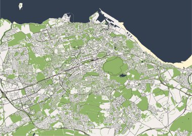
Vector map of the city of Edinburgh, Scotland, United Kingdom

United Kingdom -highly detailed map. Vector illustration

A large and detailed map of Scotland with all islands, areas and counties.

A large and detailed map of Scotland with all islands, regions, counties and main cities.
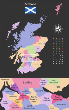
Vector map of Scotland unitary authorities with close up of region include city of Edinburgh and Glasgow city. Flag of Scotland. Navigation, location and travel icons

Original England map with a national flag

World map with magnified Scotland. Scotland flag and map.

Lovely United Kingdom travel map with attractions

Scotland country map polygonal with spot lights places
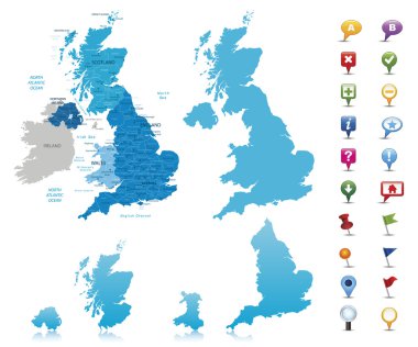
United Kingdom -highly detailed map. Vector illustration

Lovely United Kingdom travel map design with attractions

Map of England Decorative idea design

Grunge rubber stamp set with names of Scotland cities, vector illustration

Vector color map of United Kingdom

Map of the UK showing Scotland and England divide
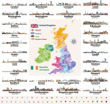
Vector set of British Isles countries cities skylines abstract icons. Map and flags of British Isles: United Kingdom (England, Wales, Scotland, Northern Ireland) and Republic of Ireland

Rectangular map of Scotland with pin icon of Scotland

Map pins with London, Paris, Rome, Barcelona, Edinburgh, Zurich, Budapest, Krakow and Pisa - vector illustration

Lovely United Kingdom travel map design with attractions
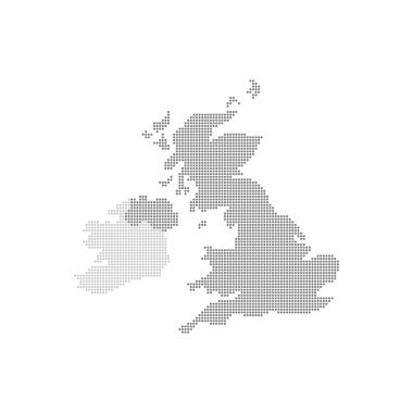
Grey Map United Kingdom In The Dot . Vector illustration.

Location map of United Kingdom in Europe with administrative divisions, detailed vector illustration
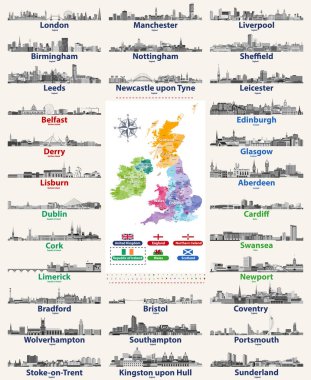
Vector set of British Isles countries cities skylines icons in black and white color palette. Flags and high detailed vector map of British countries.

Highly detailed vector map of United Kingdom with administrative regions, main cities and roads.

Cute hand drawn doodle map on England with sightseeing and objects
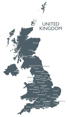
Monochrome vector United Kingdom map

Vector graphic travel images and icons representing the United Kingdom.

Scotland flag and map pointer isolated on white background. Republic of Venezuela national symbol. Flat design collection.

Lovely United Kingdom travel map with attractions

Cute hand drawn doodle map on England with sightseeing and objects
Set of vector graphic glossy buttons representing symbols and landmarks of Scotland.

United Kingdom cities skylines. Detailed map of United Kingdom with countries (England, Wales, Scotland, Northern Ireland) and regions borders

Hand drawn map of the United Kingdom including England, Wales, Scotland and Northern Ireland and their capital cities. Colorful hand drawn vector illustration.
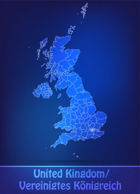
Map of England with borders as scrible

Great Britain + Ireland

Map of England flag Decorative idea design

Colored Hand drawn doodle Great Britain map. England city names lettering and cartoon landmarks, tourist attractions cliparts. US travel, trip comic infographic poster, banner concept design.

Scotland map with shadow effect
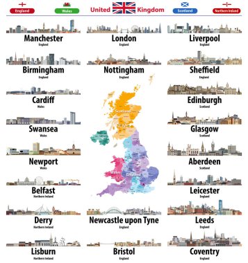
United Kingdom cities skylines icons. High detailed map of United Kingdom with countries and regions borders. All layers editable and labelled. Vector illustration

Map of Scotland with and without saltire

Set of vector graphic ribbons and banners representing Scotland.

Black map of Scotland

Hand drawn map of the United Kingdom including England, Wales, Scotland and Northern Ireland and their capital cities. Colorful hand drawn vector illustration.