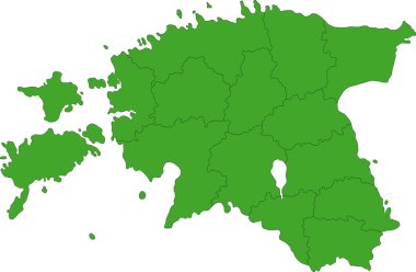
Map of administrative divisions of Republic of Estonia

Estonia blank detailed outline map set
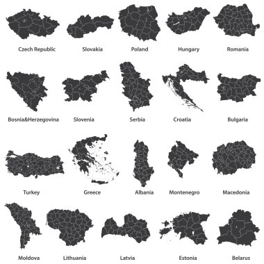
Vector maps of european countries

Estonia map vector illustration, scribble sketch Estonia

Estonia political map of administrative divisions - counties. Shaded vector map with 3D-like blue gradient and name labels

Detailed map of Europe

Outline map of Estonia with districts on white background. Vector map with contour.

Estonia map, black and white detailed outline regions of the country. Vector illustration

Estonia vector map with infographic elements, pointer marks. Editable template with regions, cities and capital Tallinn.

Vector Europe map

Pen hand drawn Europe map vector on paper illustration

Map of administrative divisions of Republic of Estonia

Highly detailed Estonia physical map with labeling.

Scandinavia map in white background, scandinavia map vector, map vector

Detailed map of Estonia administrative divisions with country flag and location on the globe. Vector illustration
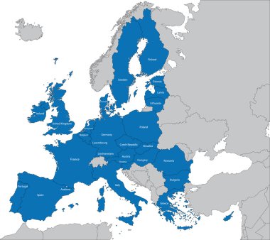
The 27 Member State of the European Union

Colorful Europe map

Map of Europe in gray on a white background

Europe map illustration

The European Union map and flags
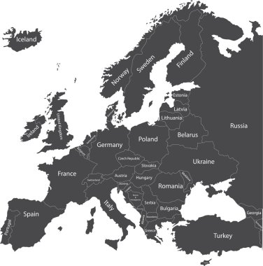
Europe political map with country names

Europa-highly detailed map. Vector illustration

The European Union highly detailed vector map

European Union map
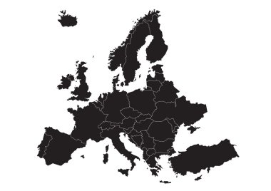
Vector map of Europe

Independence Day in Estonia. Heart in colors of Estonia flag.

Zoom on Estonia Map and Flag. World Map

Estonia map glass card paper 3D vector

Vector map and flag of Estonia

Illustration of estonia map with stars european

Baltic Sea Area Map - Detailed Vector Illustration

High detailed vector map of European Union with navigation pins.

Map of Estonia. Vector design isolated on white background. Shape of Estonia map filled up with Estonian flag colors.

Estonia map with shadow effect

Europe with highlighted Estonia map and flag

Dot vector abstract Estonia map and isolated clean black, grunge red, blue, green stamp seals. Estonia map title inside rough framed rectangles and with distress rubber texture.

Estonia Outline Map with Green Colour. Modern Simple Line Cartoon Design - EPS 10 Vector

Abstract Red Estonia Map with Cities

Estonia Map Pin with National Flag on Open World Map.

Europe and European Union map with indication of Estonia

Estonia Highlighted on Europe Map with Flag Icon.

3d isometric Map of Estonia with national flag. Vector Illustration.

Estonia country flag pin map marker

Isometric Map of Estonia. Simple 3D Map. Vector Illustration - EPS 10 Vector

North europe - vector maps of territories
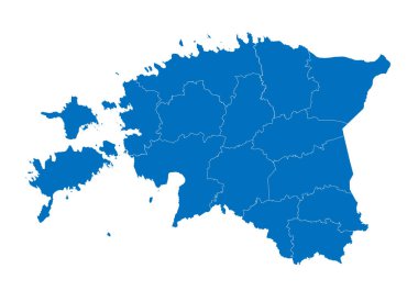
Map of estonia. High detailed vector map - estonia.

Vector detailed map of Europe

Map of Estonia as an overview map in green

High detailed vector political Europe map with capitals, cities, towns, rivers and lakes.

Estonia road and National Park map

Scandinavia colorful map, scandinavia map vector, map vector

Norway Map - Detailed Vector Illustration
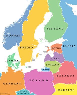
Baltic Sea area, colored countries, political map, with national borders and English names. Countries along the coast of the Baltic Sea, with surrounding countries in Europe. Isolated illustration.

Vector Scandinavian and Baltic countries map with flags and cities skylines: Copenhagen, Stockholm, Oslo, Reykjavik, Helsinki, Riga, Tallinn, Vilnius.

Norway map and flag - highly detailed vector illustration

Political and administrative vector map of northern europe with state borders
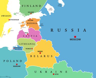
Baltic States, colored countries, political map. From Finland to Estonia, Latvia and Lithuania to Poland, and from the Russian exclave Kaliningrad Oblast, to Belarus and the European Part of Russia.

Gulf of Finland and Gulf of Riga region, gray political map. The Nordic countries Finland, Estonia and Latvia with their capitals, and the seaway from the Baltic Sea to Saint Petersburg, Russia.

Latvia road and National Park map

Abstract vector color map of Norway and Sweden country coloured by national flag

Baltic States and Kaliningrad Oblast, gray political map. From Finland to Estonia, Latvia and Lithuania to Poland, and from the Russian exclave Kaliningrad, to Belarus and the European Part of Russia.

Map of the railroad tracks in the three Baltic states

Nordic-Baltic Eight (NB8) member states political map. Regional co-operation format of Denmark, Estonia, Finland, Iceland, Latvia, Lithuania, Norway and Sweden. English labeling. Illustration. Vector.

Illustration of a Political Map of USSR with Names

Baltic Sea Area Map - Vintage Detailed Vector Illustration

Baltic Sea Area Map - Vintage Detailed Vector Illustration

Latvia map illustration vector detailed latvia map with all state names
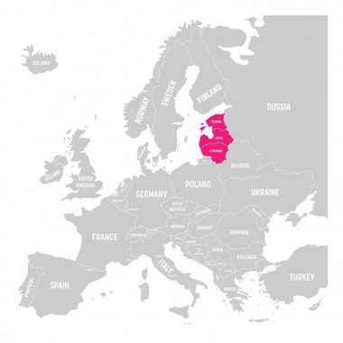
Baltic states Estonia, Latvia and Lithuania pink highlighted in the political map of Europe. Vector illustration.

Detailed map of Europe with cities

Hand holds the flags of Latvia, Lithuania and Estonia, which symbolizes unity for independence against the background of the map of the Baltic States
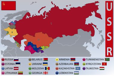
Illustration of the Map and Flags of the Republics of the Former USSR
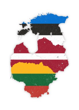
Map of Baltic states with rivers and lakes in colors of the national flags of Baltic states. Please look at my other images of cartographic series - they are all very detailed and carefully drawn by hand WITH RIVERS AND LAKES.
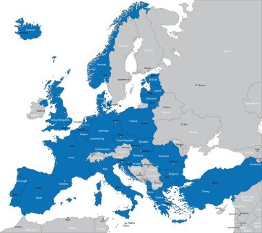
Members of NATO in Europe
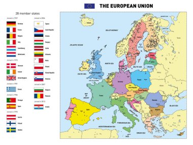
Vector highly detailed political map of The European Union with flags and capitals. All elements are separated in editable layers clearly labeled.

Illustration of europe chart, blue countries shape

Simple black maps all european union countries stickers collection eps10

Railway and political map of Europe and North Africa. European cities. Political map with the border of the states. Urban areas. Railway line.
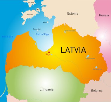
Vector detailed color map of Latvia country
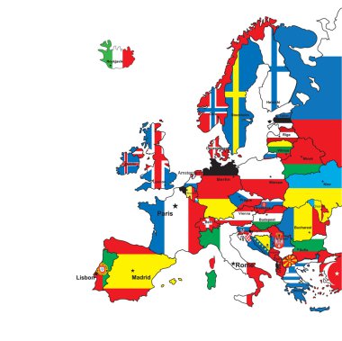
Card of Europe in the form of flags on a white background.Vector illustration

An illustration of the flag of Estonia on a Estonia map

Estonia round sign. Futuristic satelite view of the world centered to Estonia. Country badge with map, round text and binary background. Authentic vector illustration.

Simple black maps all european union countries collection eps10

Vector illustration of a Grey Europe map with Dark european countries
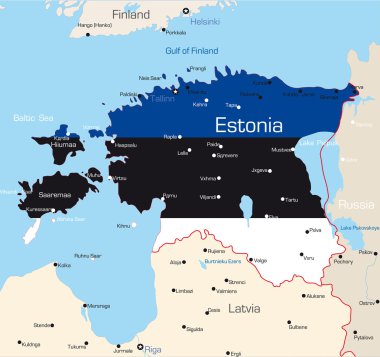
Abstract vector color map of Estonia country coloured by national flag

Illustration of europe chart boarder on chalkboard

Thin black outline map of European Union - EU. Vector illustration.

Illustration of euro zone map with flags, 2012 year

The set of national profile of the cartoon state of the world isolated on the background. Hand drawing decorative elements of the state and simple design of the country.

Illustration of europe chart, colorful countries shape

Europe - highly detailed map. Vector illustration

European political map set with map pointers

Maps of European Countries on white, vector illustration

Illustration of europe chart, colorful countries shape

Europa map card of every country vector clip art

Europa vector illustration design

Europe - Political Map of Europe

All flags of Europe. Vector Illustration. flag set

Illustration of europe chart, colorful countries shape

Member states of the european union map without united kingdom

Editable map of Europe with all countries. Vector illustration EPS8