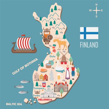
Stylized map of Finland. Travel illustration with danish landmarks, architecture, national flag, and other symbols in flat style. Vector illustration

Map of Finland with borders in gray

Finland map infographic vector template with regions and pointer marks

Color map of administrative divisions of Finland

Finland - detailed blue country map with cities and regions. Vector illustration.

Saint Petersburg area, gray political map. Second-largest city in Russia, formerly known as Petrograd and later Leningrad. Situated on the Neva River, at the head of Gulf of Finland in the Baltic Sea.

Blue map of Finland administrative divisions with travel infographic icons. Vector illustration
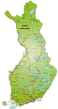
Map of Finland with highways

Finland vector color map

Vector color map of administrative divisions of Finland

Finland map and flag idea design

Map of Finland as an overview map in green

Finland map and flag idea design

Conceptual illustration of a trip to Finland with travel gear.

Vector set of Finland country. Isometric 3d map, Finland map, Europe map - with region, state names and city names.

Vector map of Finland. Country map with division, cities and capital Helsinki. Political map, world map, infographic elements.

Vector dotted map of Finland isolated on white background . Travel vector illustration

Infographic for Finland, detailed map of Finland with flag. Vector Info graphic green map.

Finland map card paper 3D natural vector
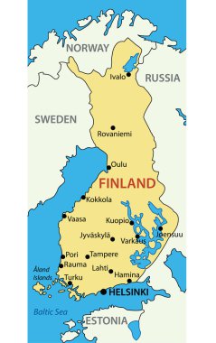
Republic of Finland - vector map
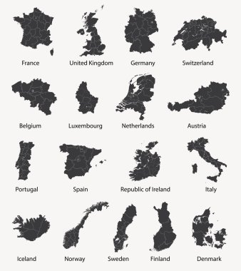
Vector set of european maps with region borders

Scandinavia maps

Finland vector map with infographic elements, pointer marks. Editable template with regions, cities and capital Helsinki.

Vector European map combined with flags

Finland map silhouette with flag.

Europe Political Map and the surrounding region. With countries, capitals, national borders, big rivers and lakes. English labeling and scaling. Illustration.
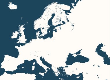
High detailed silhouette of Europe map
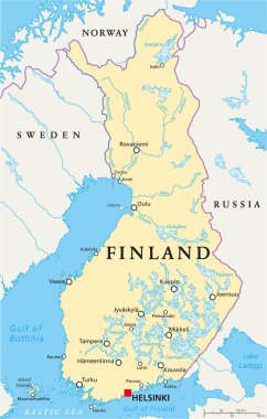
Finland Political Map with capital Helsinki, national borders, important cities, rivers and lakes. English labeling and scaling. Illustration.

Grunge rubber stamp with the name and map of Finland, vector illustration
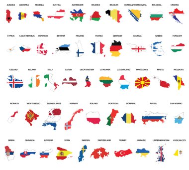
Europe country maps combinated vith flags

The set of national profile of the cartoon state of the world isolated on the background. Hand drawing decorative elements of the state and simple design of the country.

Europe map combined with country flags. All elements separated in detachable layers. Vector

Map of Finland with highways in pastel green

Map of finland. map concept

Finland vector set. Detailed country shape with region borders, flags and icons isolated on white background.

Helsinki Finland Map in Retro Style. Vector Illustration. Outline Map.

Europe and European Union map with indication of Finland
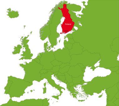
Location of Finland on the Europa continent
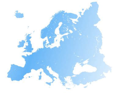
High detailed Europe map.

Map of the World with a magnifying glass aimed at Finland, searching Finland with loupe.

European Union map with stars of the European Union

Finland map and flag in vintage rubber stamp of state colours. Grungy travel stamp with map and flag of Finland. Country map and flag vector illustration.

Finland Map flag Vector 3D illustration Eps 10

Abstract of finland map network, internet and global connection concept, Wire Frame 3D mesh polygonal network line, design sphere, dot and structure. Vector illustration eps 10.

Finland map flag glass card paper 3D vector

All Europe countries maps mixed with flags

Vector illustration of Finland map dotted basic shape icons and flag

Finland map with shadow effect

Some old vintage map with flag of finland

Finland map and words cloud with larger cities

Vector illustration - background with finnisch map
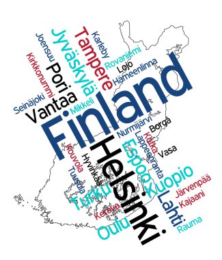
Map of Finland and text design with major cities

All European countries maps with flags

Simple set of panama map, uruguay map, norway map, turkey map icons, contains such as icons czech eepublic finland syria paraguay map and more. 64x64 pixel perfect. editable vector set

Finland map flag and text illustration, on world map

Vector dot abstracted Finland map and isolated clean black, grunge red, blue, green stamp seals. Finland map title inside draft framed rectangles and with grunge rubber texture.

Map of Finland
Pirkanmaa Region (Republic of Finland) map vector illustration, scribble sketch Pirkanmaa map

Map of Finland

Flag of finland. Flag icon. Standard colors. Standard size. Rectangular flag.

Set of isolated finland maps. finland flag overlaid with flag proportions. Maps and traveling around the world

Finland Highlighted on Europe Map with Flag Icon.

Finland Outline Map with Green Colour. Modern Simple Line Cartoon Design - EPS 10 Vector

Finland - detailed map with administrative divisions and country flag. Vector illustration

Isometric Map of Finland. Simple 3D Map. Vector Illustration - EPS 10 Vector

Finland Map Pin with National Flag on Open World Map.

Abstract Red Finland Map with Cities

Detailed map of Europe

Tourist infographics about Finland. Cartoon map of Scandinavian country. Travel illustration with landmarks, buildings, food and plants. National symbols. Famous attractions. Vector illustration

Blank map of Europe
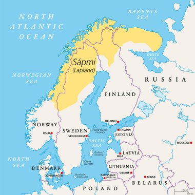
Sapmi, Lapland, political map. A cultural region in Northern and Eastern Europe, including the northern parts of Fennoscandia, stretching over the four countries Norway, Sweden, Finland and Russia.
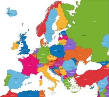
Colorful Europe map with countries and capital cities

Finland car license plate, letters, numbers and symbols, vector illustration, European Union

Vintage europe map with countries inscription uk, ireland, norway, sweden, finland, germany, france, spain, italy, poland, czech austria switzerland netherlands belgium drawing on dirty paper
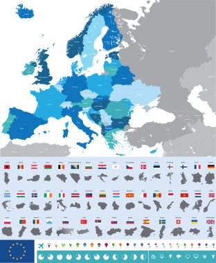
Vector high detailed map of Europe with flags

Contour map of Finland with a technological electronics circuit.

Finland map and flag - vector illustration

Pen hand drawn Europe map vector on paper illustration

Helsinki Travel Set with Architecture. Visit Finland. Vector illustration

Map of Finland and emblem print. Vector illustration.

Vector map of the city of Helsinki, Finland
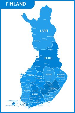
The detailed map of the Finland with regions or states and cities, capitals

Finland with orange placeholder pin on europe map, close up Finland, vacation and road trip concept, pinned destination, travel idea, top view, colorful map with location icon
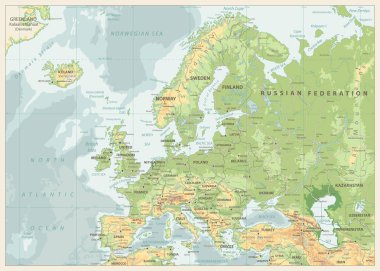
Europe Physical Map. Retro Colors. Detailed vector illustration of Europe Physical Map.

Baltic countries political map. Baltic states area with capitals, national borders, important cities, rivers and lakes. English labeling and scaling.
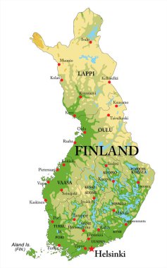
Highly detailed physical map of Finland,in vector format,with all the relief forms,regions and big cities.

Colorful Europe map. Countries and borders, political map of Europe continent with capitals vector illustration. Cartography concept, different colorful country boundaries for presentation

Estonia road and National Park map

Scandinavia colorful map, scandinavia map vector, map vector
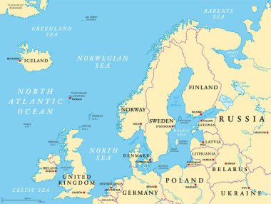
Northern Europe, political map. British Isles, Fennoscandia, Jutland peninsula, Baltic plain lying to the east, and the islands offshore from mainland Northern Europe and the main European continent.

Baltic Sea area countries political map with national borders. Nations and states of Scandinavia. English labeling and scaling. Gray illustration on white background.

Arctic Map - Vintage Detailed Vector Illustration
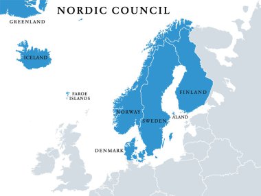
Nordic Council members, political map. Cooperation among the Nordic states Denmark, Finland, Iceland, Norway and Sweden, the autonomous territories Faroe Islands and Greenland, and the region Aland.

Hand-drawn map of Denmark. Colorful country shape. Sketchy Denmark maps collection. Vector illustration.

Highly detailed physical map of Europe,in vector format,with all the relief forms,countries and big cities.
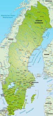
Map of Sweden / Sverige

Norway Map - Detailed Vector Illustration
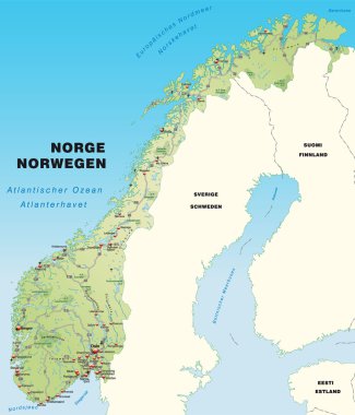
Map of Norway with highways capital cities and neighboring countries

Europe map without names of countries
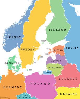
Baltic Sea area, colored countries, political map, with national borders and English names. Countries along the coast of the Baltic Sea, with surrounding countries in Europe. Isolated illustration.