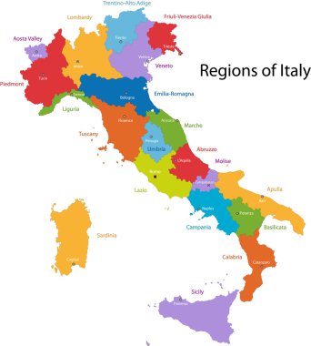
Colorful Italy map with regions and main cities

High detailed Italy physical map with labeling.
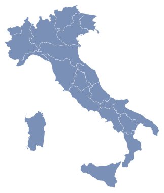
Vector map of Italy
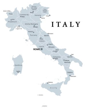
Italy, gray political map with administrative divisions. Italian Republic with capital Rome, 20 regions, their borders and capitals. English labeling. Isolated illustration on white background. Vector
Italy map with vector icons and elements

Tuscany (Autonomous region of Italy) map vector illustration, scribble sketch Toscana map

Italy love - heart shape with many icons

Florence (Texas) blank outline map

Florence (Oregon) blank outline map

Landmarks of Florence. Set of flat color icons in Metro style. Editable vector illustration.

Travel poster, urban street plan city map Florence and Milan, vector illustration

Vector map of the city of Florence, Italy

Italy map vector. Illustrated map of Italy for children/kid. Cartoon abstract atlas of Italy with landmark and traditional cultural symbols. Travel attraction icon

Vector map of the city of Florence, Italy

Florence city silhouette skyline. Italy - Florence city vector city, italian linear architecture, buildings. Florence city line travel illustration, landmarks. Italy flat icons, italian outline design

Colorful Italy political map with clearly labeled, separated layers. Vector illustration.
Italy silhouettes on the white background

Vector map of the city of Florence, Italy

Italy map, black and white detailed outline regions of the country. Vector illustration

Administrative map of the Metropolitan City of Florence, Tuscany, Italy

High detailed Italy physical map with labeling.
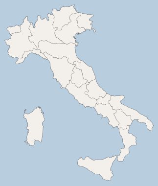
Vector map of Italy

Italy - Highly detailed editable political map with separated layers.

Tuscany administrative and political map with flag

High detailed Italy physical map.

High detailed Italy physical map with labeling.

Italy - Highly detailed editable political map with separated layers.

Illustration of italy province and region maps

Illustration set of italy province and region maps
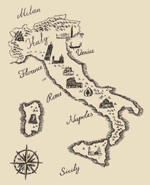
Italian map old school style, vintage retro design, engraved vector illustration, sketch

Italy - Highly detailed editable political map with separated layers.
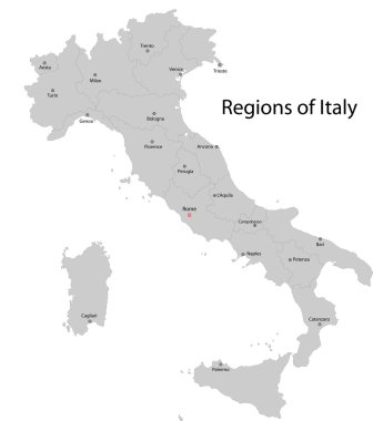
Gray Italy map with regions and main cities

The grayscale map of Tuscany region with labels on white background

Tuscany regions map with labels isolated on white background
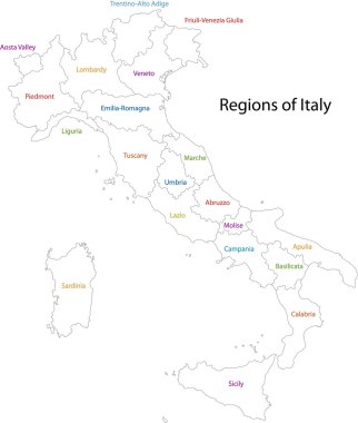
Outline Italy map with regions

Italy - Highly detailed editable political map with separated layers.

Vector detailed color Italy map

Silhouette and colored map of Italy regions

Vector map of the Italian national highway system

Map of Italy - highly detailed vector illustration

Illustration set of italy province and region maps

Editable colorful vector map of Italy. Vector map of Italy isolated on background. High detailed. Autonomous communities of Italy. Administrative divisions of Italy, separated provinces. outline map.
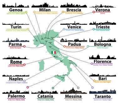
Italy map with largest italian cities skylines silhouettes vector set
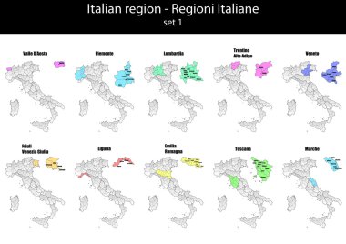
Illustration set of italy province and region maps

Blue-gray detailed map of Italy and administrative divisions and location on the globe. Vector illustration

Detailed map of Italy with flag, border of regions and country. Purple, yellow, green. Vector illustration

City map Florence, travel vector poster design art for interior decoration

Italian map with main cities skylines. Vector illustration

Road vector map of the Italian region Tuscany

Road vector map of the Italian region Tuscany

Italy Map - Detailed Vector Illustration
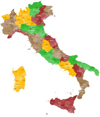
A detailed, colorful map of Italy with all provinces and big cities.

Italy administrative vector map

Detailed map of Italy with administrative divisions into regions and provinces of the country, vector illustration on white background
Black Italy map with regions

Color detailed road map, urban street plan city Rome and Florence with colorful neighborhoods and districts, Travel vector poster

Map of the Italian region of Tuscany

Illustration of italy city maps

High detailed Italy physical map.

Map of Italy divided by regions with most famous sights in each. Sights drawn in watercolor style. Vector illustration.

Italy administrative and political vector map
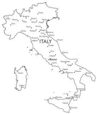
Monochrome contour map with city names

Map of Florence. Plan of Italian city with sights. Tourism and travel. Traditiopnal buildings and architecture, landmarks. Santa Maria del Fiore, Ponte Vecchio. Cartoon flat vector illustration

Colorful Tuscany map vector silhouette illustration isolated on white background. Toscana, Italy province vector map. Separated regions with borders. Italian territory, EU, Europe.

Italy vector cities skylines

Italy map and flag - highly detailed vector illustration

Colorful Italy political map with clearly labeled, separated layers. Vector illustration.

Word cloud in a shape of Italy contains large cities. White text on black background, vector illustration

Italy map and flag - highly detailed vector illustration

Italy map and flag - highly detailed vector illustration

Italy, political map, administrative divisions. Italian Republic with capital Rome, 20 regions and their capitals, international borders and neighbor countries. English labeling. Illustration. Vector.

Vector illustration of Italy map with main italian cities skylines

Colorful map of Italy vector silhouette illustration isolated on white background. Autonomous communities of Italy. Detailed Italian regions administrative divisions, separated provinces. outline map.
Vector map of Italy

Word cloud in a shape of Italy contains large italian cities. Black text on white background in positive slope, vector illustration
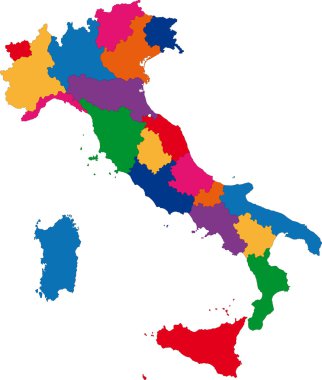
Colorful Italy map with regions

Italy map symbol shape, travel web flat concept icon web vector illustration .

Green Tuscany map silhouette vector, Toscana, Italy province vector map illustration isolated on background. Separated regions with borders.

Highly detailed physical map of Italy,in vector format,with all the relief forms,regions and big cities.

The black and white maps of Italy regions

Italy Map Print Design. Vector illustration

Italy map vector. Illustrated colored map of Italy. Cartoon abstract atlas of Italy with landmark: Coliseum, The Rome Cathedral, Milan Cathedral and Pisa Tower. Gondola on Canal Grande, venetian mask

Italy poster. Cartoon map of Italy for kid/children. Italian landmarks vector cute poster. Illustrated card. Italian mozzarella and pizza, travel attractions and landmarks

Italy in heart and words cloud with larger cities
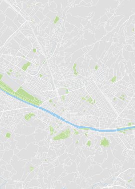
City map Florence, color detailed plan, vector illustration color navigation chart
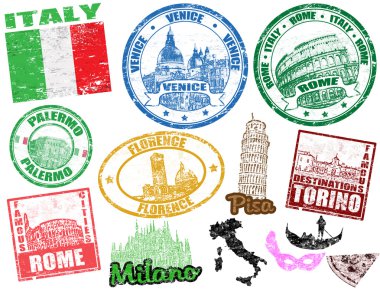
Set of grunge stamps with Italy, vector illustration

City map Florence, monochrome detailed plan, vector illustration black and white city plan

Set of Italy travel compositions with place for text. Venice, Italian Pizza, Italian Symbols, Italian Landmarks. Set of colorful flat icons for your design. Vector illustration.

Italy Flat Icon Set Travel and tourism concept. Vector illustration

Welcome to Italy flat banner vector template. Famous italian architectural landmarks cartoon illustration with text. Tourist attractions, coliseum, pisa tower.

Grunge rubber stamp set with names of Italy cities, vector illustration

Set of Italy isolated travel colorful flat icons, Italy symbols for your design. Vector illustration.

Italy famous landmarks and lettering set. Vintage hand drawn doodle sketch. Italian travel symbols. Coliseum,tower of Pisa, Basilica de San Lorenzo Florence.Vector background Isolated on white

Symbols of Italy. Vector illustration

Landmarks of Italy. Set of flat color icons in Metro style. Editable vector illustration.

Vector map of the city of Florence, Italy

Set of Rome Italy symbols. Italian vector illustrations. Collection icons Venice mask and gondola, Pisa Tower and Colosseum, pizza and cheese, olive oil, wine bottle and pasta, flag and map.

A large and detailed map of the State of South Carolina with all counties and county seats.

Set of icons of all counties and county seats of the State of Alabama.

Italy poster. Cartoon map of Italy for kid/children. Italian landmarks vector cute poster. Illustrated card. Italian mozzarella and pizza, travel attractions and landmarks