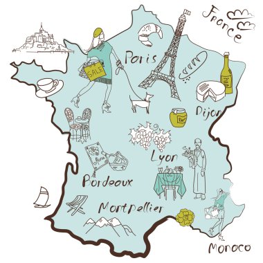
Stylized map of France. Things that different Regions in France are famous for.
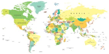
World map - highly detailed vector illustration.
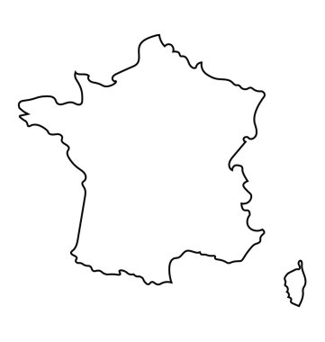
Black and white abstract map of France
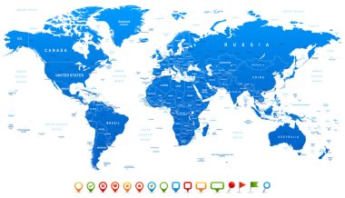
Highly detailed world map: countries, cities, water objects

France holiday background with symbol and flag

Vector France Map card paper on blue background, high detailed

France travel grunge seamless pattern with national french sights, map and flag, vector illustration

Energy industry and ecology of France vector map with power stations infographic.

France vector map with infographic elements, pointer marks. Editable template with regions, cities and capital Paris.

High detailed France physical map with labeling.
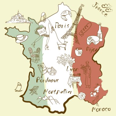
Stylized map of France. Things that different Regions in France are famous for.

The detailed map of the France with regions or states and cities, capital, national flag
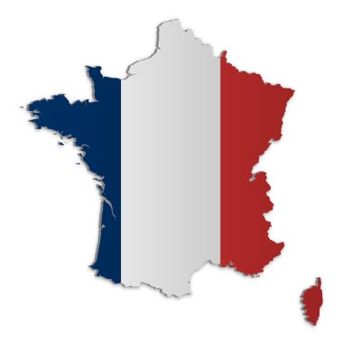
A simple 3D map of France.

Vector abstract seamless pattern on the theme of France and Paris with French symbols, architectural landmarks and a map in colors of French flag on the background of newspaper page in retro style
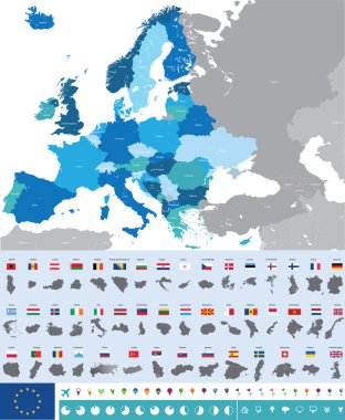
Vector high detailed map of Europe with flags

An high quality world map in tones of grey with a cool flat shaded Shadow.

French culture elements and landmarks, flag and map of France, food menu in round infographic banner. Eiffel Tower and beret of Frenchman, croissant and cheese, scooter cartoon vector illustration
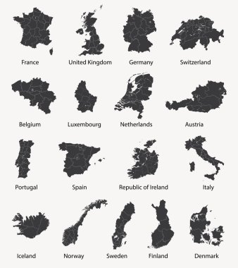
Vector set of european maps with region borders

World maps with different specification. 1 - highly detailed: countries, cities, water objects 2 - country contours 3 - world contours

Traditional symbols of the French architecture, culture, kitchen

Highly detailed world map: countries, cities, water objects.

Adorable France travel map with attractions and specialties

Vector poster map city Paris

Vector set of France country. Isometric 3d map, France map, Europe map - with region, state names and city names.

France vector map. Editable template with regions, cities, red pins and blue surface on white background.

France map Infographic map design, Vector illustration.

High detailed vector map of France with navigation pins.

Silhouette maps set of the France with regions and departments, vector illustration

Administrative map of the 13 regions of france since 2016

France historical and touristic places. 29 different layers. Vector images. french and english
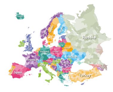
Colored political map of Europe with countries' regions. Vector illustration

High detailed colored political map of Europe with countries' regions. Vector
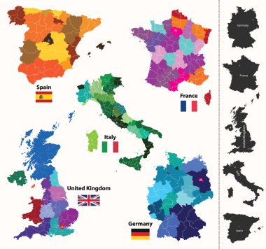
European regions map

France map

Administrative map of Spain with all regions and provinces
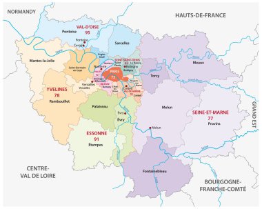
New ile de france administrative and political vector map, france

High detailed vector map - France
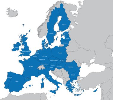
The 27 Member State of the European Union
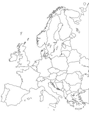
Europe vector map - Outline Contour Vector map

Europa-highly detailed map. Vector illustration
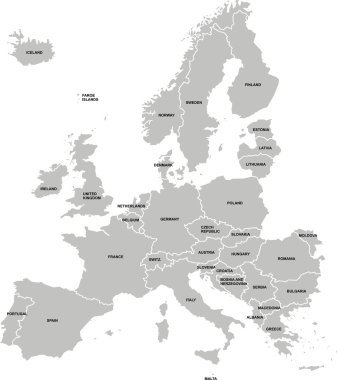
Nice europe map isolated on white background
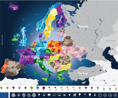
High detailed Europe map with coutries names and region borders

Italy administrative and political vector map
Abstract europe vector map on white
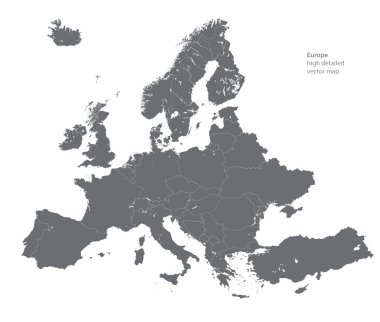
Vector high detailed map of Europe
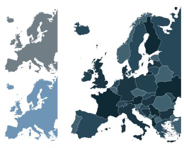
Set of Europe vector highly detailed maps

Hand drawn watercolor background with french motive. Vector illustration.
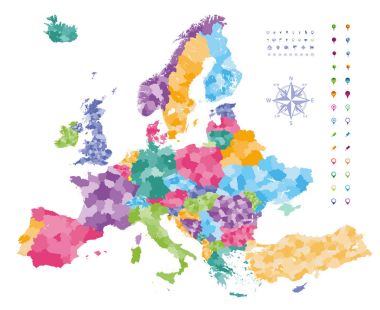
Europe map colored by countries with regions borders. Navigation, location and travel icons collection.

Europe with parts of Asia classic color detailed map, individual states and islands and sea with names vector
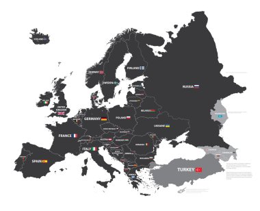
European map with country names and flags

Retro color political World Map and map pointers.All elements are separated in editable layers clearly labeled.

Vector Paris landscape illustration. French capital city scene with sights, buildings, Eiffel tower, bakery. Cute France background with river, field, park, castle, palace, hot air balloon, chair
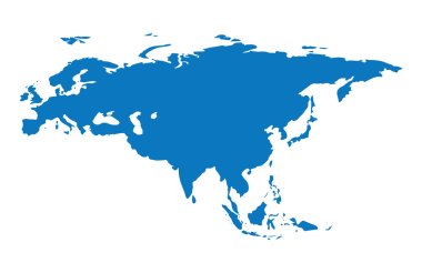
Blue similar Eurasia map. Eurasia map blank. Eurasia map vector. Eurasia map flat. Eurasia map template. Eurasia map object. Eurasia map eps. Eurasia map infographic. Eurasia map clean. Eurasia map.
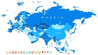
Eurasia map - highly detailed vector illustration. Image contains land contours, country and land names, city names, water object names, navigation icons.

Eurasia Europa Russia China India Indonesia Thailand Map - Detailed Vector Illustration

World Map old colors illustration: countries, cities, water objects. All elements are separated in editable layers clearly labeled.

Map of Rouen, France. Detailed city vector map, metropolitan area. Streetmap with roads.

Wave line flag of France
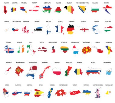
Europe country maps combinated vith flags

Great Britain vector color map

Highly detailed vector map of Germany with administrative regions,main cities and roads.
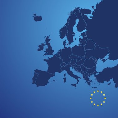
Europe map cover vector

Corse blank outline map

Illustration map of France with landscape. Vector illustration
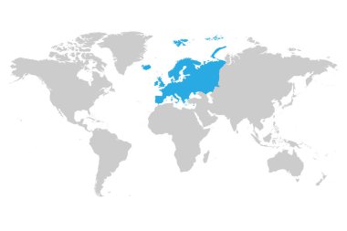
Europe continent blue marked in grey silhouette of World map. Simple flat vector illustration.

Symbols of France vector set. Travel concept

Worldmap and detailed maps of France, Portugal and Spain

Vector map of the city of Amiens, Somme, Hauts-de-France, France

Europe detailed political map. D.I.Y.infographic set.All elements are separated in editable layers clearly labeled. All layers are subscribed.

Europe detailed map.Vintage colors.All elements are separated in editable layers clearly labeled. All layers are subscribed.

G-20 or Group of major economies in the world. Highlighted by orange in blank world political map

G-20 or Group of major economies in the world. Highlighted by orange in blank world political map

G-20 or Group of major economies in the world. Highlighted by red in blank world political map

28 NATO member countries highlighted by blue in blank world political map

Vector map of Paris.

Vector map of the city of Paris, France

Vector map of the city of Paris, France

Vector map of the city of Paris, France

Vector map of the city of Marseille, France

Vector map of the city of Rennes, Ille-et-Vilaine, Brittany, France

Vector map of the city of Clermont-Ferrand, Puy-de-Dome, Auvergne-Rhone-Alpes , France

Vector map of the city of Bordeaux, France, Nouvelle-Aquitaine, Gironde

Vector map of the city of Lille, Nord, Hauts-de-France, France

Vector map of the city of Clermont-Ferrand, Puy-de-Dome, Auvergne-Rhone-Alpes , France
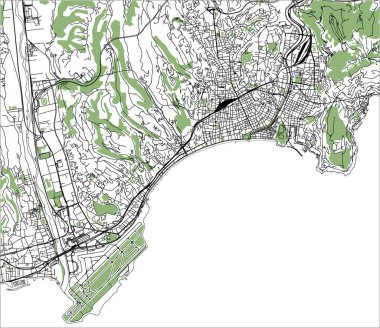
Vector map of the city of Nice, Provence-Alpes-Cote dAzur, Alpes-Maritimes, French Riviera, France

Vector map of the city of Toulouse, Occitanie, Haute-Garonne, France
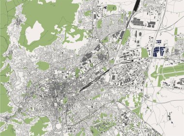
Vector map of the city of Clermont-Ferrand, Puy-de-Dome, Auvergne-Rhone-Alpes , France

Vector map of the city of Le Mans, Sarthe, Pays de la Loire, France

Map of Europe colored by countries with regions borders. Flags of all european countries. Navigation, location and travel icons. All elements separated in labeled and detached layers. Vector

Vector map of the city of Rennes, Ille-et-Vilaine, Brittany, France

Europe map colored by countries with regions borders. Navigation, location and travel icons collection. All elements separated in labeled and detachable layers. Vector

Vector map of the city of Brest, Finistere, Brittany ,France

Europe detailed political map. D.I.Y.infographic set.All elements are separated in editable layers clearly labeled. All layers are subscribed.
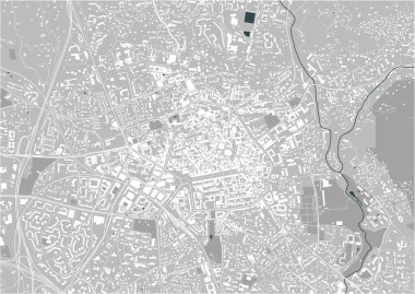
Vector map of the city of Aix-en-Provence, Bouches-du-Rhone, Provence-Alpes-Cote dAzur France
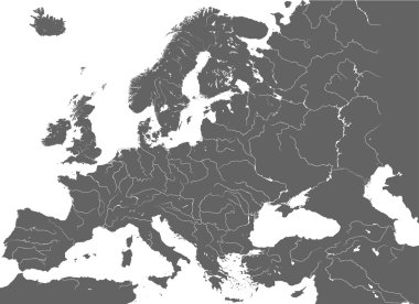
High detailed vector map of Europe main rivers

Vector map of the city of Paris, France

Vector map of the city of Toulon, Var, Provence-Alpes-Cote dAzur, France

Map of France vector illustration

Europe map political separate states blue white card paper 3D vector
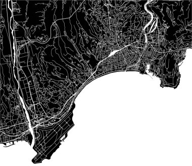
Vector map of the city of Nice, Provence-Alpes-Cote dAzur, Alpes-Maritimes, French Riviera, France