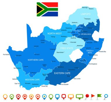
South Africa map and flag - highly detailed vector illustration

Flag of Maryland in the wind with a texture

Maryland USA Round State Flag. MD, US Circle Flag. State of Maryland, United States of America Circular Shape Button Banner. EPS Vector Illustration.
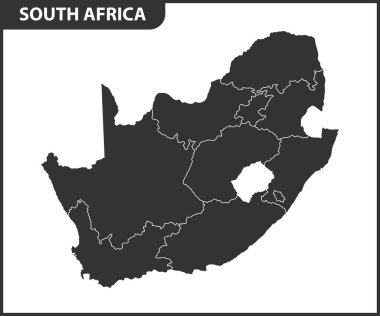
The detailed map of South Africa with regions or states. Administrative division

Vector map of South Africa with provinces and administrative divisions. Editable and clearly labeled layers.

South Africa Administrative map with the provinces and districts

Map of the administrative divisions of South Africa

The detailed map of South Africa with regions or states. Administrative division

South Africa map and flag - highly detailed vector illustration

The detailed map of South Africa with regions or states and cities, capital. Administrative division

South Africa, political map with provinces, largest cities, international and administrative borders. Republic and southernmost country in Africa, with capitals Pretoria, Cape Town and Bloemfontein.

Bavaria is a federal state of Germany

South Africa map and flag - highly detailed vector illustration
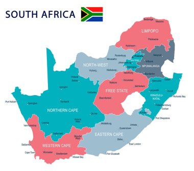
South Africa map and flag - highly detailed vector illustration

South Africa map and flag - highly detailed vector illustration
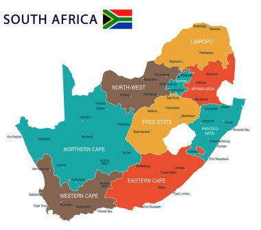
South Africa map and flag - highly detailed vector illustration

South Africa Map - Detailed Vector Illustration

South Africa map and flag - highly detailed vector illustration
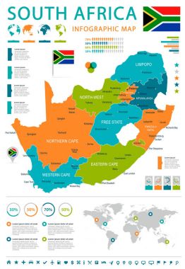
South Africa map and flag - highly detailed vector illustration
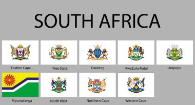
All Flags of regions of South Africa. Vector illustraion

South Africa map and flag - highly detailed vector illustration
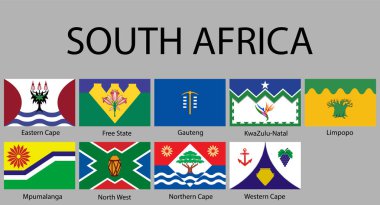
All Flags of regions of South Africa. Vector illustraion
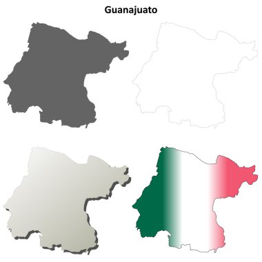
Guanajuato state blank vector outline map set

Background "Oktoberfest"
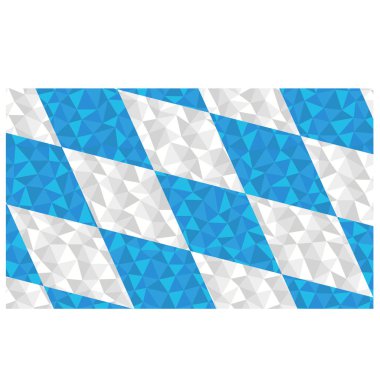
Polygonal flag of Free State of Bavaria, Germany region national symbol background low poly style vector illustration eps

Vector illustrations of Maryland's flag, waving and flat, and map with the flag inserted and inner shadow. All elements neatly on well described layers.

Background "Oktoberfest"

Background "Oktoberfest"

The Free State of Thuringia is a federal state in central Germany.

Background "Oktoberfest"

USA map with magnified Maryland State. Maryland flag and map.
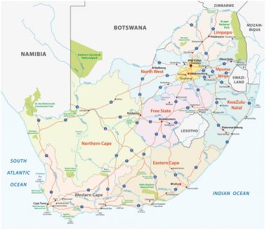
South africa road, administrative and political vector map

The Free State of Saxony is a landlocked federal state of Germany, bordering the federal states of Brandenburg, Saxony Anhalt, Thuringia, and Bavaria
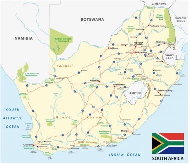
South africa road vector map with flag

Durango state blank vector outline map set
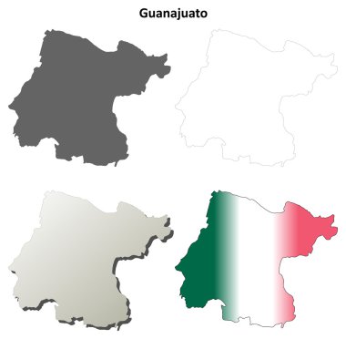
Guanajuato blank outline map set
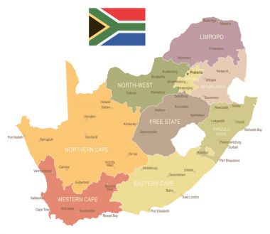
South Africa map and flag - highly detailed vector illustration
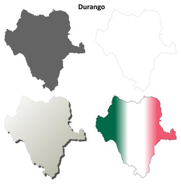
Durango blank outline map set

South Africa map and flag - highly detailed vector illustration

South Africa map and flag - highly detailed vector illustration

Nine Maps provinces of South Africa - alphabetical order with name. Every single map of Province are listed and isolated with wordings and titles. South Africa. EPS 10.

South Africa Map - Vintage Detailed Vector Illustration

Dresden, capital city of the Free State of Saxony in Germany

South Africa political map of administrative divisions - provinces. Grey blank vector editable map EPS.

Maryland, U.S. state, gray political map with borders and county names. State in the Mid-Atlantic region of the USA, subdivided into 23 counties and the independent City of Baltimore. Old Line State

State of Maryland, subdivided into 23 counties and the independent City of Baltimore, outline map. State in the Mid-Atlantic region of the United States, nicknamed Old Line State. Isolated. Vector

Neumarkt district (Federal Republic of Germany, rural district Upper Palatinate, Free State of Bavaria) map vector illustration, scribble sketch Neumarkt map

Bad Tolz-Wolfratshausen district (Federal Republic of Germany, rural district Upper Bavaria, Free State of Bavaria) map vector illustration, scribble sketch Bad Tolz Wolfratshausen map
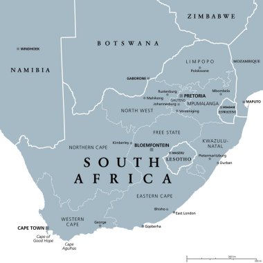
South Africa, gray political map with nine provinces, with largest cities, and borders. Republic and southernmost country in Africa, with the three capitals Pretoria, Cape Town and Bloemfontein.

Land of the free and home of the brave, USA flag waving in gun

Flag Puerto Rico vector illustration

USA American states Nevada, Nebraska and Maryland metal plates rusty vector signs. US American state rusty metal plates with city motto and taglines, USA landmarks flags and grunge signage
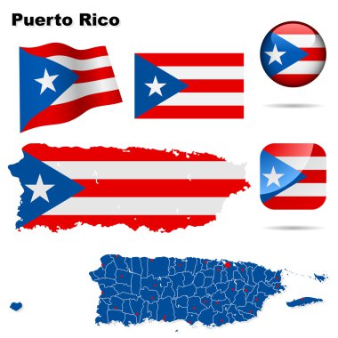
Puerto Rico vector set. Detailed country shape with region borders, flags and icons isolated on white background.
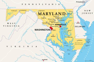
Maryland, MD, political map. State in the Mid-Atlantic region of the United States of America. Capital Annapolis. Old Line State. Free State. Little America. America in Miniature. Illustration. Vector

Flag of Alaska - vector illustration.

This vector map of the German Free State of Saxony includes 5 editable layers for each of the 4 administrative levels (municipalities, municipalities associations, districts, and state) and the background

Florida state counties map with boundaries and names

Love Puerto Rico vector illustration

Maryland - Highly detailed editable political map with labeling.
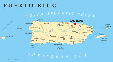
Puerto Rico Political Map with capital San Juan, a United States territory in the northeastern Caribbean, with important cities, rivers and lakes. English labeling and scaling. Illustration.

Map Free State of Bavaria on transparent background. Bavaria map with districts in gray for your web site design, logo, app, UI. Land of Germany. EPS10.

USA states map with names of cities

Patriotic Flying American Flag Eagle Vector Illustration

Made in the USA logo or label. Vector illustration

Texas map love heart logo vector illustration design

Flag of Arizona vector illustration

Flag of Mississippi - vector illustration.

USA Maryland, Nebraska and Nevada vintage vector signs. American states travel and tourism destination of old line, battle born and cornhusker states, old grunge greeting banners and postcard design

Flag of Tennessee vector ilustration

Chicago, Illinois skyline. Detailed vector silhouette

Flag of New Mexico - vector illustration.

Flag Afghanistan vector illustration symbol national country icon. Freedom nation flag Afghanistan independence patriotism celebration design government international official symbolic object culture

An American flag horizontal background
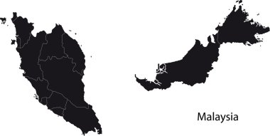
Malaysia map with states
DR Congo Flag icon, isolated on white background.
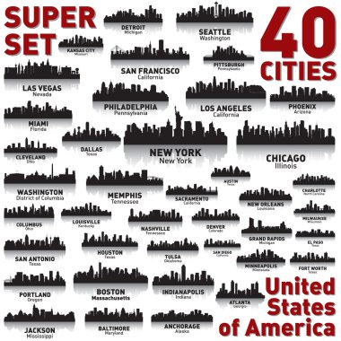
Incredible city skyline set. 40 city silhouettes of United States of America

USA eagle pride stars and stripes vector symbol design illustration
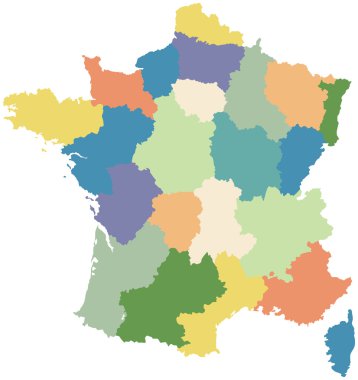
Map of France divided into regions

Austin, Texas skyline. Detailed vector silhouette

Flag and Emblem, Coat of arms of United States of America - USA
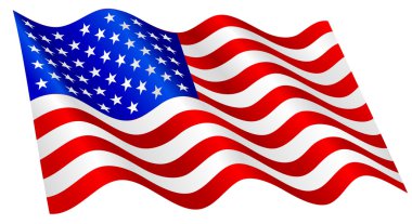
American flag waving.

Grunge round stamp of United States of America - USA

The national coat of arms of Angola
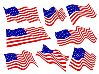
American flags waving set.

Wifi Icon Symbol USA Flag Concept Vector Illustration

USMCA - United States Mexico Canada Agreement. Heavy industry and business leaflet or brochure template . Industrial icons set

Grunge round stamp of United States of America - USA

USA label vector with stars
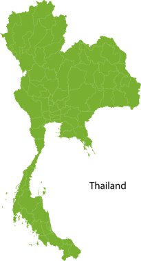
Map of Kingdom of Thailand with the provinces

Round USA flag . USA button flag vector isolated on white background

Statue of liberty illustartion design

Staten Island Ferry.Vector Illustration.

American Flag, Vector background for Independance Day and other events. Illustration in EPS 10.

4th of July Sunflower
Image of the Statue of Liberty on grungy background for American day and other events. Vector illustration.
Red White and Blue Stars on Swirl Background

Patriotic American Flag God Bless United States of America Design

Vintage American flag
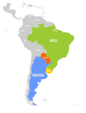
Map of MERCOSUR countires. South american trade association. Highlighted member states Brazil, Paraguay, Uruguay and Argetina. Since December 2016.

Independence day American Flag background