
World map in perspective showing the location of the country Vietnam with detailed map with flag of Vietnam.

Concept of planning and mapping a travel route using a general city map with streets and roads marked. Abstract

Concept of planning and mapping a travel route using a general city map with streets and roads marked. Abstract

World map in perspective showing the location of the country Thailand with detailed map with flag of Thailand.

World map in perspective showing the location of the country Pakistan with detailed map with flag of Pakistan.

Map of the North of Africa as an overview map in gray

Map of the North of Africa as an overview map

Two versions of the map of US State New Mexico, with the flag of New Mexico and highlighted in dark grey. Vector map.
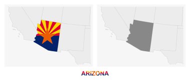
Two versions of the map of US State Arizona, with the flag of Arizona and highlighted in dark grey. Vector map.

Two versions of the map of Ukraine, with the flag of Ukraine and highlighted in dark grey. Vector map.

Geographic map of france with a reflection

Two versions of the map of Laos, with the flag of Laos and highlighted in dark grey. Vector map.

Map of the World with a magnifying glass aimed at Finland, searching Finland with loupe.

Two versions of the map of US State Indiana, with the flag of Indiana and highlighted in dark grey. Vector map.

Map of the North of Africa as an overview map

Map of the World with a magnifying glass aimed at Netherlands, searching Netherlands with loupe.

Map of Cambodia with borders in green

Map of Upper Normandy as an overview map in pastel green

Map of Lower Normandy as an overview map in pastel orange
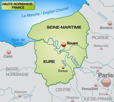
Map of Upper Normandy with borders in pastel green
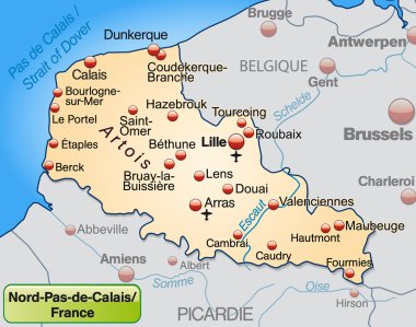
Map of North-pas-de-calais as an overview map in pastel orange

Map of Lower Normandy with borders in pastel green

Map of Lower Normandy as an overview map in pastel green

Map of North America with main cities in gray

Map of world with main cities in pastel orange

Map of Indonesia as an overview map in pastel green

Spain map with autonomous communities, vector illustration

The Peru map divided into regions with labels

Black simple detailed street roads map on vintage beige background of the quarter Malynovsky district of Odessa, Ukraine
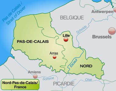
Map of North-pas-de-calais with borders in pastel green

Map of Africa as an overview map with hight layers
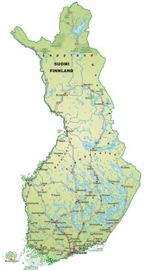
Map of Finland with highways in pastel green
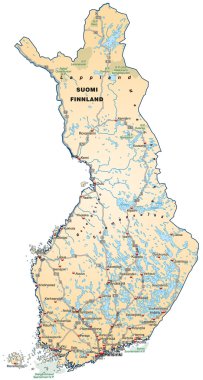
Map of Finland with highways in pastel orange

Map of Germany in blue

Map of Bremen with main cities in green

Map of Netherlands as an overview map in pastel green

Map of Germany with highways in pastel green

Map of Germany with highways in pastel orange

Map of Brazil with borders in gray

Mexico Country Map With Surrounding Border
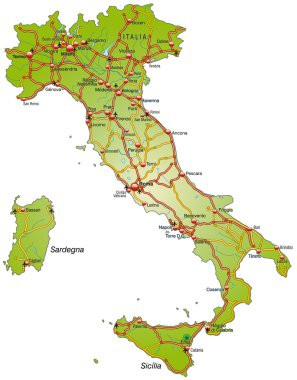
Map of Italy with highways

Map of Asia with main cities in gray

Map of Romania as an overview map in gray

United States of America isolated map and Florida state territory. vector USA political map. geographic banner design

Map of south africa as an overview map in pastel green

Map of Thailand with highways

Master plan of Barnaul city. Town streets on the plan. Map of the scheme of road. Urban environment, architectural general layout. Vector background

Map of Germany in gray

Map of Hamburg with main cities in green

Map of Spain with highways in pastel green

Map of Tanzania with main cities in pastel green

Map of Australia with main cities in gray
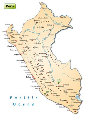
Map of Peru as an overview map in pastel orange
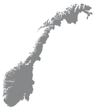
Map of Norway with borders in gray

The world, gray general reference map. Map of the surface of the Earth with landmasses of all continents, with largest lakes, oceans and seas, in Miller cylindrical projection. Illustration. Vector.

Map of world with borders in pastel orange

Map of world with main cities in gray

Map of Senegal with main cities in pastel orange
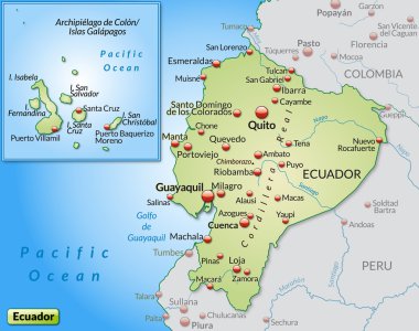
Map of ecuador as an overview map in pastel green

Map of Alsace as an overview map in pastel green
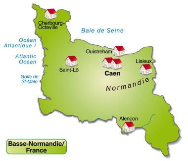
Map of Lower Normandy as an overview map in green

Outline map of Warsaw white background. The capital of Poland. Vector map with contour.

A detailed representation of the contiguous United States along with Alaska and Hawaii, highlighting the geographical division of each state with clear boundaries. Vector infographic template

United States of America isolated map and Florida state territory. vector USA political map. geographic banner design

Map of Indonesia as an overview map in pastel green

Map of Netherlands with highways in pastel orange

Team location multi color concept icon. Real-time tracking and monitoring. Field service management. Round shape line illustration. Abstract idea. Graphic design. Easy to use in article

Map of North Rhine-Westphalia with borders in violet

Map of Germany with highways

Bremen state map, Germany, vector map silhouette illustration isolated on Germany map. Editable blank vector map. Province in Germany.

Map of Portugal with highways in pastel orange
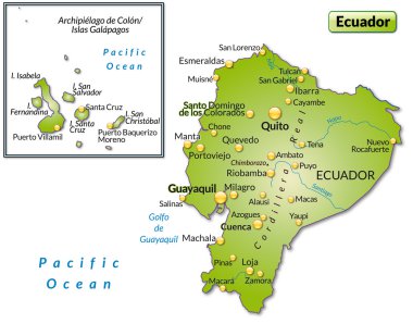
Map of ecuador as an overview map in green
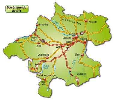
Map of upper Austria with highways
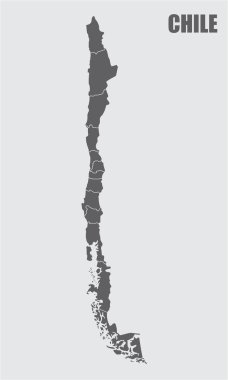
The dark gray map of Chile divided into regions

Map of Poland as an overview map in gray

Map of Midi-Pyrenees with borders in pastel green

Map of Germany in gray

Map of Bavaria with highways in pastel green

Map of world with main cities in green
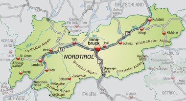
Map of tyrol with highways in pastel green

Map of Scandinavia with borders in gray
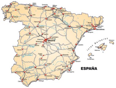
Map of Spain with highways in pastel orange

Map of Saxony with highways in pastel green

Map of Italy with highways in pastel orange

Map of Asia with main cities in pastel green

Map of Thailand with highways in pastel green

Map of Lower Normandy as an overview map in green

Map of Netherlands with borders in violet

Philippines Political Map with capital Manila, national borders, most important cities, rivers and lakes. English labeling and scaling. Illustration.
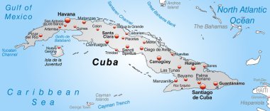
Map of Cuba as an overview map in gray

Map of Thailand as an overview map in gray

Vector Map of Spain with Administrative borders, City and Region Names and international bordering countries in soft colors palette

Sapporo city map (Japan) - town streets on the plan. Monochrome line map of the scheme of road. Urban environment, architectural background. Vector

Map of Belgium as an overview map in gray

Map of Scandinavia as an overview map in green

Map of Bolivia as an overview map in green

Map of Germany with highways in pastel orange
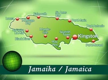
Map of Jamaica with abstract background in green
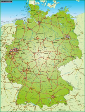
Map of Germany with highways

Map of Portugal as an overview map in green