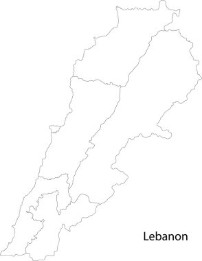
Map of administrative divisions of Lebanon
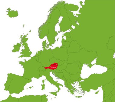
Location of Austria on the Europa continent
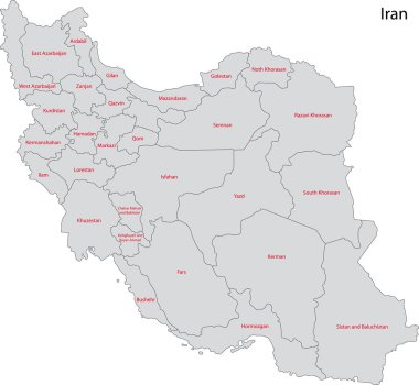
Map of administrative divisions of Iran
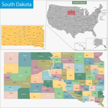
Map of South Dakota state designed in illustration with the counties and the county seats
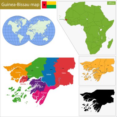
Administrative division of the Republic of Guinea-Bissau
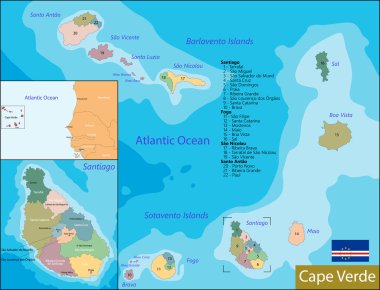
Administrative division of the Republic of Cabo Verde
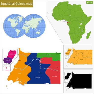
Equatorial Guinea map with high detail and accuracy and it is divided into provinces which are colored with different bright colors
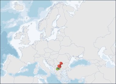
North Macedonia a country in the Balkan Peninsula in Southeast Europe
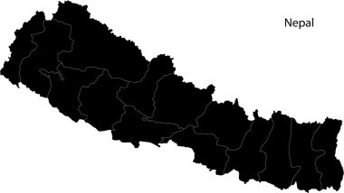
Administrative division of Nepal map
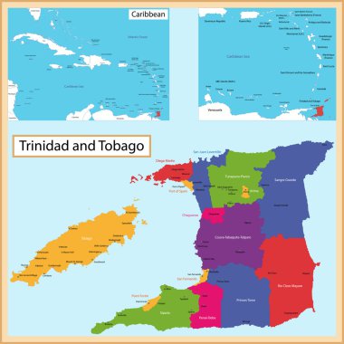
Map of the the Republic of Trinidad and Tobago drawn with high detail and accuracy. Trinidad and Tobago is divided into corporations which are colored with different bright colors
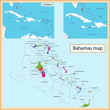
Map of the Commonwealth of the Bahamas drawn with high detail and accuracy. The Bahamas is divided into providence which are colored with different bright colors
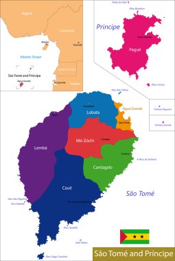
Administrative division of the Democratic Republic of Sao Tome and Principe
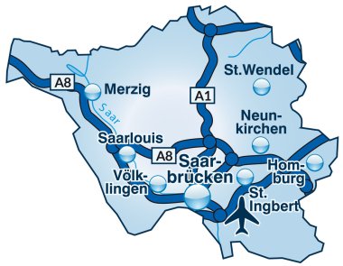
Map of Saarland with highways in blue
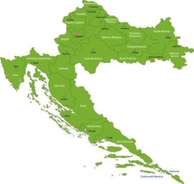
Map of administrative divisions of Republic of Croatia
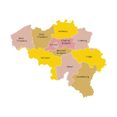
Vector illustration of administrative division map of Belgium. Vector map..
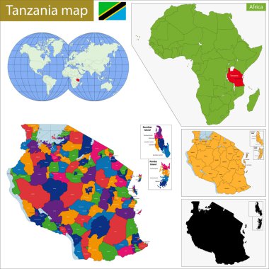
Administrative division of the United Republic of Tanzania
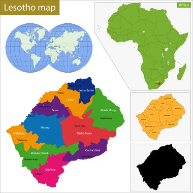
Administrative division of the Kingdom of Lesotho
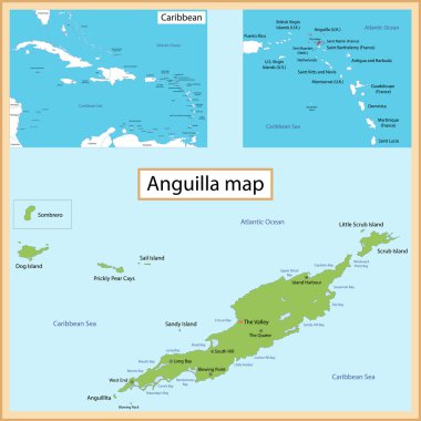
Map of Anguilla drawn with high detail and accuracy.
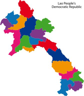
Map of administrative divisions of Laos

Austria is a land-locked East Alpine country in the south part of Central Europe.
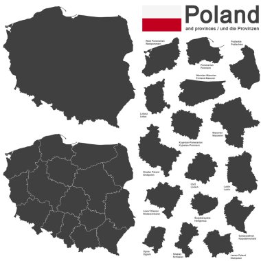
European country Poland and detailed voivodeships (provinces)

CDN - Content Delivery Network acronym, business concept. word lettering typography design illustration with line icons and ornaments. Internet web site promotion concept vector layout.

Italy is constituted by 20 regions, five of these regions having a special autonomous status
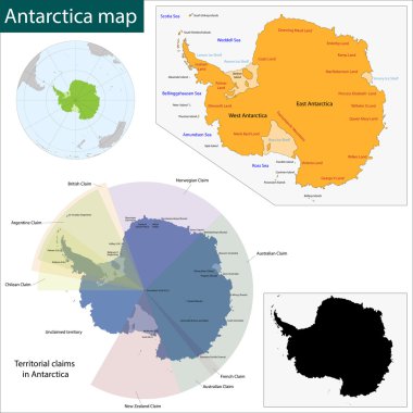
Map of the Antarctica drawn with high detail and accuracy
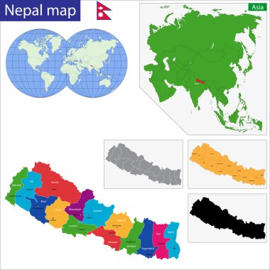
Map of the Federal Democratic Republic of Nepal with zones colored in bright colors
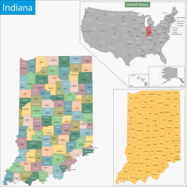
Map of Indiana state designed in illustration with the counties and the county seats

Map of Nevada state designed in illustration with the counties and the county seats

Map of West Virginia state designed in illustration with the counties and the county seats

Map of administrative divisions of Israel

The Republic of Poland is a country in Central Europe
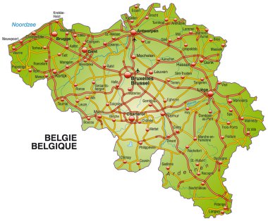
Map of Belgium with highways
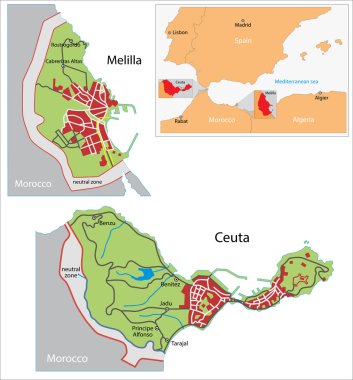
Illustration of a autonomous city of Ceuta and Melilla
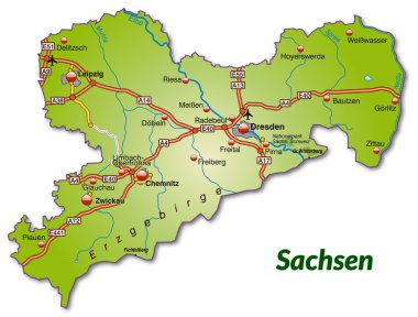
Map of Saxony with highways

Tuscany is a region of Italy, located in the central peninsular section of the country

Administrative division of the Republic of Moldova

Map of administrative divisions of Turkey
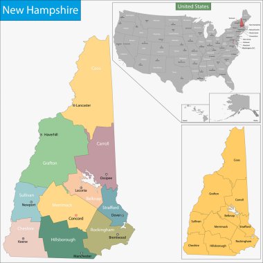
Map of New Hampshire state designed in illustration with the counties and the county seats
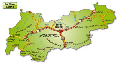
Map of tyrol with highways

Cayman Islands map vector illustration, scribble sketch Cayman Islands

Map of the United Kingdom of Great Britain and Northern Ireland

Map of Texas state designed in illustration with the counties and the county seats
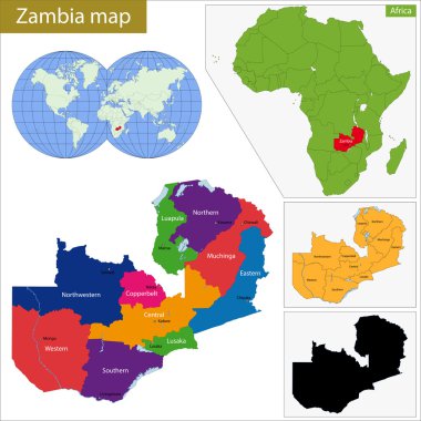
Administrative division of the Republic of Zambia

Local search marketing is the use of specialized Internet search engines that allow users to submit geographically constrained searches against a structured database of local business listings
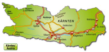
Map of kaernten with highways

Administrative division of the Republic of Mozambique

Slovenia is a country located in Europe at the crossroads of main European cultural and trade routes
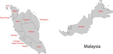
Map of administrative divisions of Malaysia

Umbria is a region of central Italy

Map of administrative divisions of Thailand

Italy is constituted by 20 regions, five of these regions having a special autonomous status

Map of Thailand with highways in pastel orange
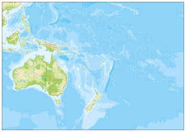
Blank Relief Map of Oceania. All elements are separated in editabe layers clearly labeled.

Administrative division of the Republic of Slovenia

Location of Uzbekistan on Western Asia

Map of administrative divisions of North Korea
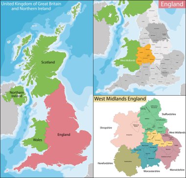
Map of the subdivisions of England with the West Midlands that is one of nine official regions

Motorway vector map of Germany and the Benelux states

Administrative division of Pakistan map

Administrative division of the Kingdom of Spain

Vector map of the Macao Special Administrative Region of the People's Republic of China drawn with high detail and accuracy. Macau is divided into regions which are colored with different bright colors.

Outline map of the Cayman Islands with flag, United Kingdom
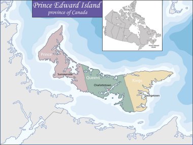
Prince Edward Island is a province of Canada consisting of the island of the same name, as well as several much smaller islands
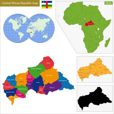
Map central African Republic with high detail and accuracy and it is divided into provinces which are colored with different bright colors

Administrative division of the Republic of Sierra Leone
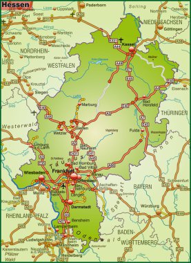
Map of Hesse with highways
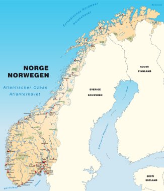
Map of Norway with highways in pastel orange
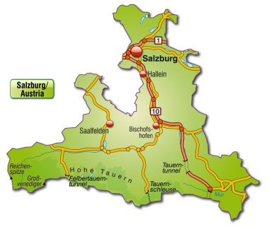
Map of salzburg with highways
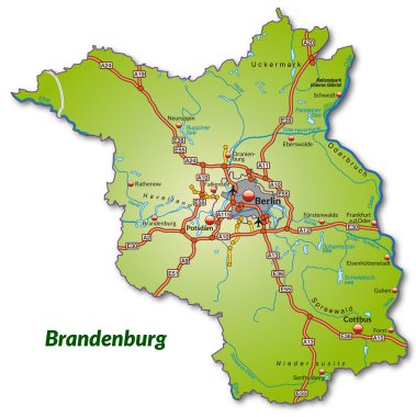
Map of Brandenburg with highways

Map of East Tyrol with highways

Map of Berlin with highways in green
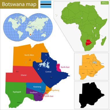
Administrative division of the Federal Republic of Botswana
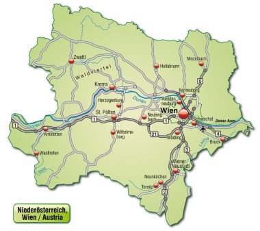
Map of Lower Austria with highways in pastel green

Map of New Jersey state designed in illustration with the counties and the county seats

Map of Iowa state designed in illustration with the counties and the county seats
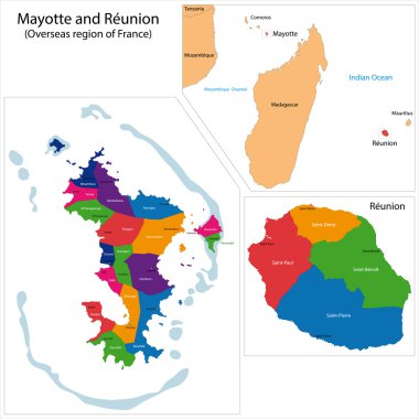
Map of a Reunion and Mayotte, Overseas region of France

Map of administrative divisions of Azerbaijan
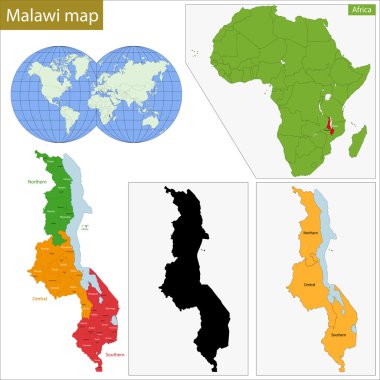
Administrative division of the Republic of Malawi
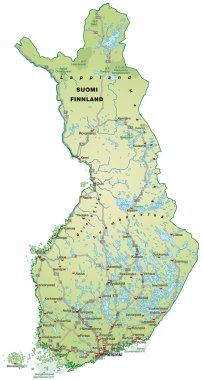
Map of Finland with highways in pastel green
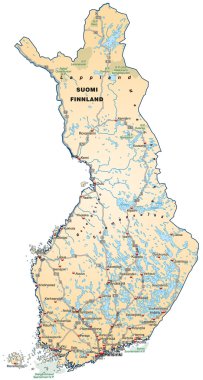
Map of Finland with highways in pastel orange
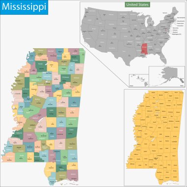
Map of Mississippi state designed in illustration with the counties and the county seats

Guadeloupe is an insular region of France located in the Leeward Islands, part of the Lesser Antilles in the Caribbean

Administrative division of the Togolese Republic, colorful map
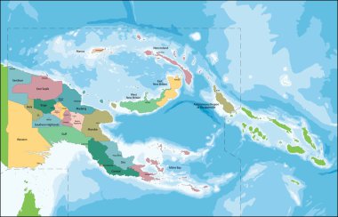
The Independent State of Papua New Guinea is an Oceanian country that occupies the eastern half of the island of New Guinea and its offshore islands in Melanesia.
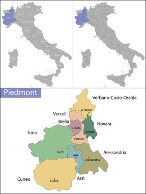
Piedmont is one of the twenty administrative regions of Italy, in the northwest of the country
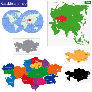
Map of administrative divisions of Kazakhstan

Auvergne Rhone Alpes is a region in southeast-central France
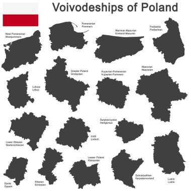
European country Poland and detailed voivodeships (provinces)

Bermuda is a British Overseas Territory in the North Atlantic Ocean
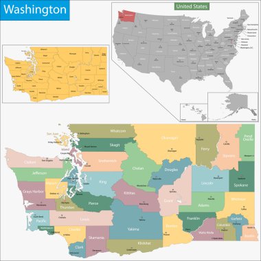
Map of Washington state designed in illustration with the counties and the county seats

Map of administrative divisions of North Korea

Map of Germany with highways in pastel green

Map of Germany with highways in pastel orange
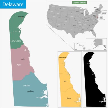
Map of Delaware state designed in illustration with the counties and the county seats

Map of administrative divisions of Uzbekistan

Map of Pennsylvania state designed in illustration with the counties and the county seats

Blank Relief Map of Oceania isolated on white. All elements are separated in editable layers clearly labeled.

Map of administrative divisions of South Korea
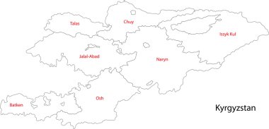
Map of administrative divisions of Kyrgyzstan

Hamburg is the second largest city in Germany and the eighth largest city in the European Union

Lower Saxony is a German state situated in northwestern Germany