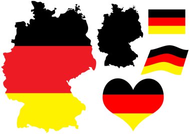
Vector illustration of Germany map with flag and heart in national colors
Germany map card paper 3D natural vector
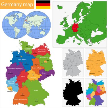
Germany map with regions and main cities
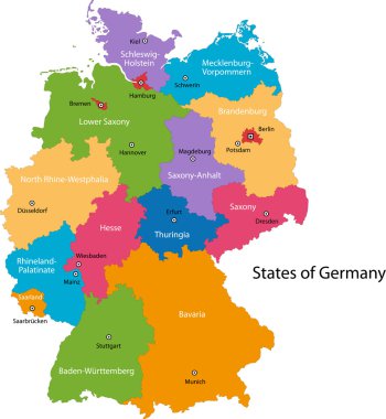
Colorful Germany map with regions and main cities

Germany map with shapes of regions. Blank vector map of the Country with regions. Borders of the country for your infographic. Vector illustration.
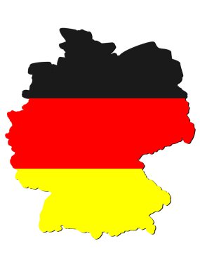
Map of germany

Germany regions card map vector silhouette on White background created in Adobe Illustrator.
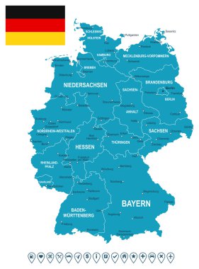
Map of Germany and flag - highly detailed vector illustration. Image contains land contours, country and land names, city names, flag, navigation icons.
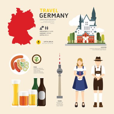
Travel Concept. Germany Landmarks Flat Icons Design .Vector Illustration
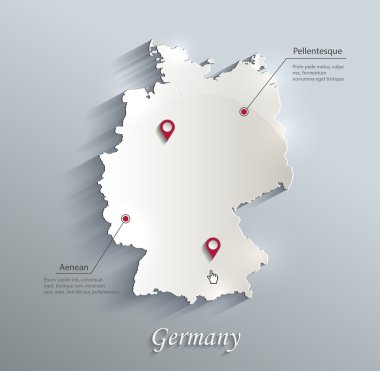
Germany map blue white card paper 3D vector
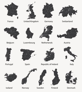
Vector set of european maps with region borders

Germany isometric cultural sightseeing map for tourists with traditional national cuisine and landmarks symbols abstract vector illustration

Germany map (colored by states and administrative districts) with subdivisions
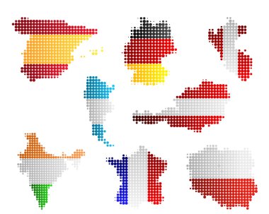
Maps and flags

Grey map of Germany
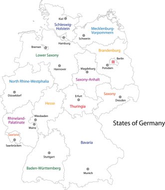
Outline Germany map with regions
Shield emblem stamp label flag vector Germany symbol barcode

Vector illustration of Germany map and navigation icons.

Germany Map. Stock Vector Illustration

Vector illustration - map of Germany.

Set of vector maps of Germany on white background

Germany map and flag of Germany. City names - land contours. Vector illustration.
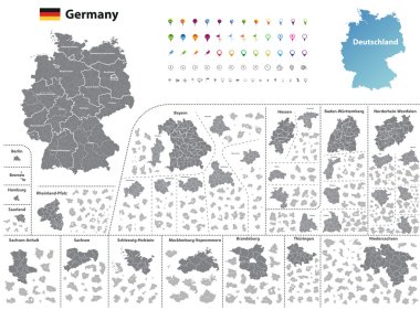
Federal states of Germany map with administrative districts and subdivisions
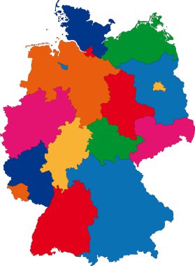
Map of administrative divisions of Germany

Map of Germany with zip codes in white

Illustration of a Germany ornage map icon with a

Map contains topographic contours, country and land names, cities, water objects, flag, roads, railways.
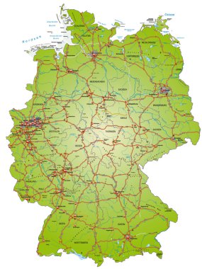
Map of Germany with highways and main cities

Vector Germany Map card paper on blue background, high detailed

3d vector map of Germany each division can be edited
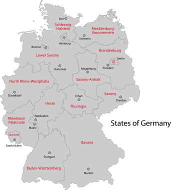
Gray Germany map with regions and main cities

Germany map glass card paper 3D vector

Germany vector contour map with waving Germany flag overlay on it. Vector illustration.
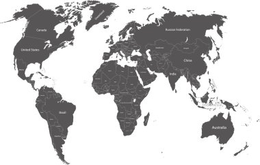
World political map with country names
Outline silhouette map of Germany over a white background

Detailed Map of Germany With States and Cities

Map of Germany. Black silhouette on white background. Vector illustration.
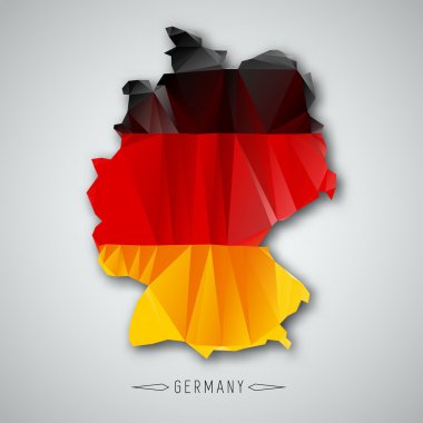
Germany map in a Triangular Style. Vector Illustration
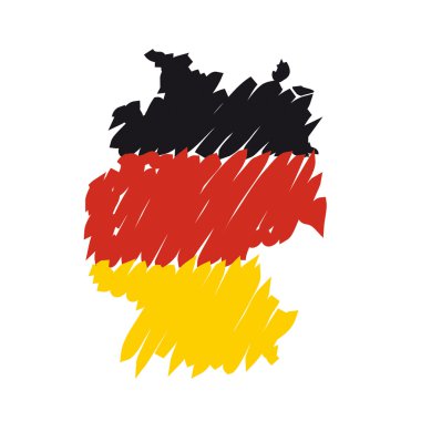
Flag map Germany

Highly detailed political map of Germany with its federal states contours, cities and 3D pin pointers collection

Vector detailed color Germany map

Map of Germany - high details vector illustration

Stylized neon digital isometric striped vector Germany map with 3d effect. Map of Germany is in violet and pink colors on the black background.

Detailed Political World map. Vector illustration.

Map of Germany and flag - highly detailed vector illustration. Image contains land contours, country and land names, city names, water object names, flag, navigation icons, roads, railways, rivers.

Vector map and flag of Germany

Germany political map of administrative divisions - federal states. Solid light gray map with white line borders and labels.

Germany line map isolated on white background - Simple hand made line vector drawing of the German borders

Map of Germany - 3D illustration.

Germany travel flat map infographic concept with national cuisine nature traditions sights and people vector illustration

3d map of Germany with borders of regions

Detailed map of Berlin - the capital of Germany - Urban borders map. Light stroke version on dark background of City poster with streets.

Germany map illustration vector

Flat Design Map of Germany With Details
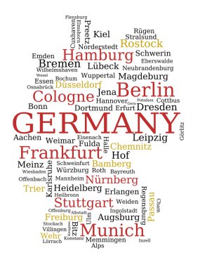
Germany - outline map made of city names. German concept.
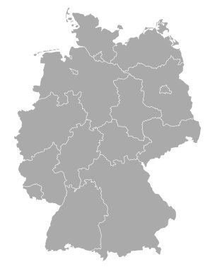
Map of Germany

Germany vector map with infographic elements, pointer marks. Editable template with regions, cities and capital Berlin.

Germany map. Geometric style country outline. Fine violet vector illustration.

Vector detailed color Germany map

Colored political World Map isolated on white.All elements are separated in editable layers clearly labeled.

Map of Germany with an official flag. Illustration on white background

Monochrome vector Germany map
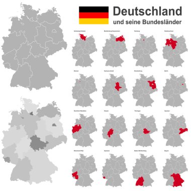
European country germany and the federal states

Germany map and flag - vector illustration

High detailed germany map collection, red marked federal states in seperated map silhouettes,

Map of Germany with lakes and rivers
Germany landmark map silhouette icon on retro background, vector illustration

The detailed map of the Germany with regions or states and cities, capitals.
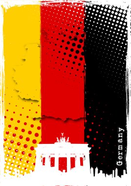
Brandenburg gate on the germany flag

High quality map of Germany with borders of the regions on white background

Stylized simple outline map of Germany

Map and flag of Germany

An high quality world map in tones of grey with a cool flat shaded Shadow.

Black Germany map with region borders

German outline with national colors

Germany map with Germany flag inside and ribbon

Germany coat of arms

Nuclear power plant map of Germany. Nuclear Power technology icons and radioactive contamination signs.
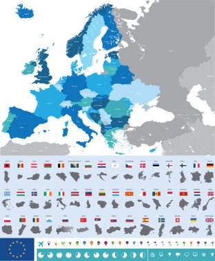
Vector high detailed map of Europe with flags

Map of Germany devided to 13 federal states and 3 city-states - Berlin, Bremen and Hamburg, Europe. Simple flat vector map in four colors with white labels.

Travel and tourism background. Vector flat illustration
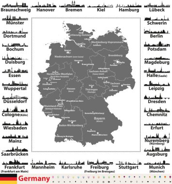
Germany map with state capitals and largest cities skylines silhouettes

Germany map and flag - vector illustration

Germany - doodle map with famous places: Berlin, Hamburg, Cologne, Frankfurt, Stuttgart, Munich and Alps. Color version.

Silhouette and colored map of Germany regions

Germany map with 2019 ncov infographic vector illustration design

Flat design germany map silhouette icon vector illustration

Germany map white blue card paper 3D vector

Circuit board Germany eps 10, vector elegant illustration

Map of Germany.

Map of Germany, national boundaries and national capitals. State of Berlin cut out and separated

Germany map with flag

Map of Germany

Germany map outline vector with national flag.

World maps with different specification. 1 - highly detailed: countries, cities, water objects 2 - country contours 3 - world contours
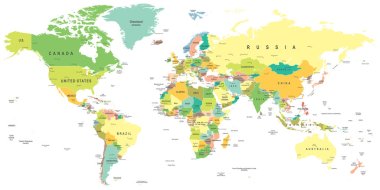
World map - highly detailed vector illustration.
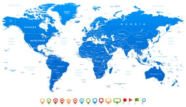
Highly detailed world map: countries, cities, water objects

Map of Germany devided to 13 federal states and 3 city-states - Berlin, Bremen and Hamburg, Europe. Simple flat blank white vector map with black outlines.