
Germany regions card map vector silhouette on White background created in Adobe Illustrator.

Set Germany regions card map vector silhouette on White background created in Adobe Illustrator.
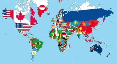
The world map with all states and their flags
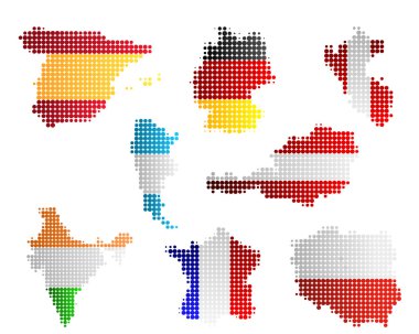
Maps and flags

World maps with different specification. 1 - highly detailed: countries, cities, water objects 2 - country contours 3 - world contours

Germany outline map set

Federal Republic of Germany map and official flag icon. vector German political map logo. European State geographic banner template. Deutschland
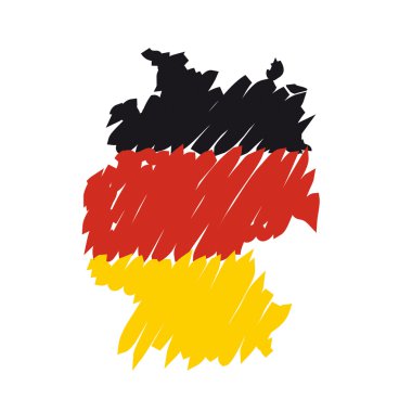
Flag map Germany

Digital art map city

Mittelsachsen (Sachsen) blank outline map set

Germany and its federal states, Berlin and its boroughs

Mecklenburg-Vorpommern state blank outline map set
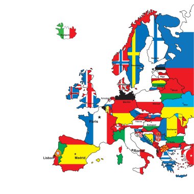
Card of Europe in the form of flags on a white background.Vector illustration
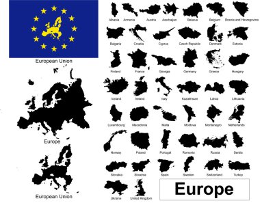
Vectors of european countries, Europe and European Union
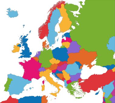
Colorful Europe map with country borders
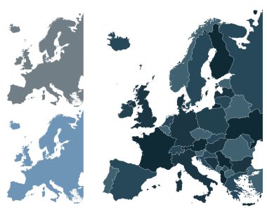
Set of Europe vector highly detailed maps

France map

Germany map cover vector

European countries set, maps and flags, part 1
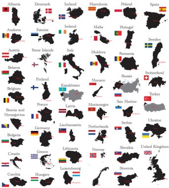
Countries of Europe

Europe brussels regions card map vector silhouette on White background created in Adobe Illustrator.

Maps of European Countries on white, vector illustration

Federal Republic of Germany map outline and official flag icon isolated on white background. vector German political maps illustration. European State geographic banner template. Deutschland

Berchtesgadener Land (Bayern) blank outline map set

Map of Europe, with countries. 3D

Germany regions card map vector silhouette on White background created in Adobe Illustrator.

Flag Map of Germany. Germany Flag Map

Downtown vector map of Berlin, Germany. This printable map of Berlin contains lines and classic colored shapes for land mass, parks, water, major and minor roads as such as major rail tracks.

3 Germany maps in 3 different styles - in circles, triangles and hexagons.
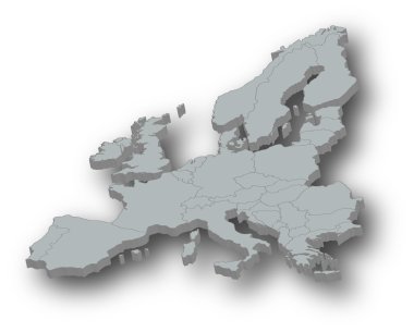
Map of Europe, with countries. 3D

Germany regions card map vector silhouette on White background created in Adobe Illustrator.
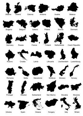
Layered vector illustration of 42 Europe Country Maps.
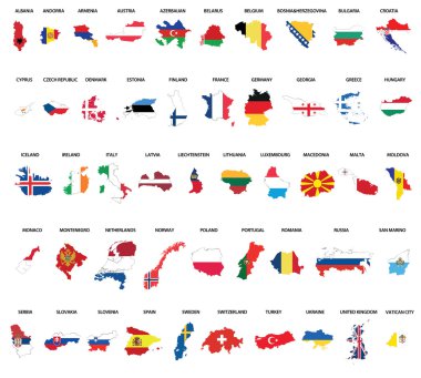
Europe country maps combinated vith flags

Outline maps of European countries collection, black lined vector map.

Design vector map city La Mans

Design vector map city Milan

Design vector map city

Design black white map city

Design vector map city

Design vector map city

Design vector map city

Digital art map city

USA world map with a pixel diamond patter texture.

The set of national profile of the cartoon state of the world isolated on the background. Hand drawing decorative elements of the state and simple design of the country.
A complete set of the world map isolated by countries and nations.

Illustration of euro currency symbol with europe maps

Europe map combined with country flags. All elements separated in detachable layers. Vector

Digital art map city
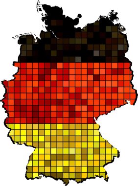
Vector Maps of Germany - Deutschland Map of Germany - Germany national flag Germany Map On Germany Flag Drawing, grunge And mosaic Flag Deutsche flag flag in mosaic The national flag & map of Germany Abstract Mosaic Grunge Germany Flag

Art design map city

Design vector map city

Design vector map city Atalanta

Design vector map city

Design vector map city

Art design map city

Design vector map city Frankfurt

Blank Vector Map Of Germany

Design vector map city San Antonio

Art design map city

Design vector map city

Design vector map city
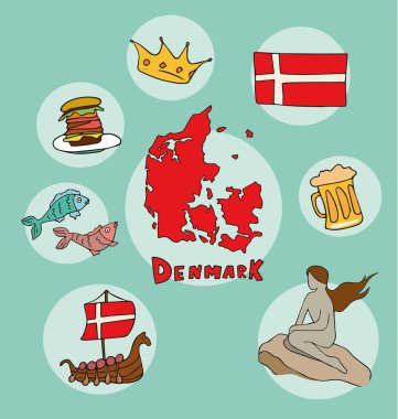
The set of national profile of the cartoon state of the world isolated on the background. Hand drawing decorative elements of the state and simple design of the country.

Design vector map city

Design vector map city

Design black white map city

Design vector map city KIEV

Germany regions card map vector silhouette on White background created in Adobe Illustrator.

Political map of Germany with all states where Rhineland-Palatinate is pulled out

Design vector map city

The set of national profile of the cartoon state of the world isolated on the background. Hand drawing decorative elements of the state and simple design of the country.

Orange button with the image maps of button Germany in the form of national fla

Vector germany map in flat design. German border and country name with long shadow

Political map of Germany with all states where North Rhine-Westphalia (Nordrhein-Westfalen) is pulled out

The set of national profile of the cartoon state of the world isolated on the background. Hand drawing decorative elements of the state and simple design of the country.

Germany regions card map vector silhouette on White background created in Adobe Illustrator.

Art design map city

The set of national profile of the cartoon state of the world isolated on the background. Hand drawing decorative elements of the state and simple design of the country.
Flag map Germany

Collection of maps and flags of the European union countries - Illustration,Mosaic map with flag inside, Flags all European union countries vector image

USA world map with a pixel diamond patter texture.

Detailed vector World map with colorful continents and map pointers isolated on white. Highly detailed map illustration with countries, cities and navigation symbols.

Digital art map city

Flat vector maps collection with infographic elements.

Design vector map kansas city
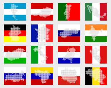
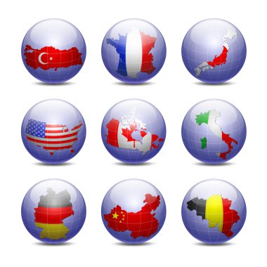
Set of flags with maps

The European Union map in polygonal style. Vector illustration

Detailed vector World map with colorful continents and map pointers

Design vector map city Atalanta

Deutschland und Erdkugel mit abstraktem Hintergrund in blau

All Europe countries maps mixed with flags

Europe Silver Global World - Elements of this image furnished by NASA the base map of the Globe is Hand Drawn using the pen tool with a tablet pen for maximum detail

Design vector map city

Map of Germany vector illustration isolated on white background

Design vector map city parma
World Maps

Art design map city

Detailed vector World map with colorful continents and colored map pointers.

Set of maps with flags
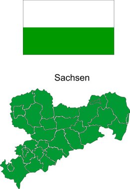
Saxony in administrative districts

Design vector map city